Estimated Value: $642,172 - $694,000
2
Beds
2
Baths
1,596
Sq Ft
$422/Sq Ft
Est. Value
About This Home
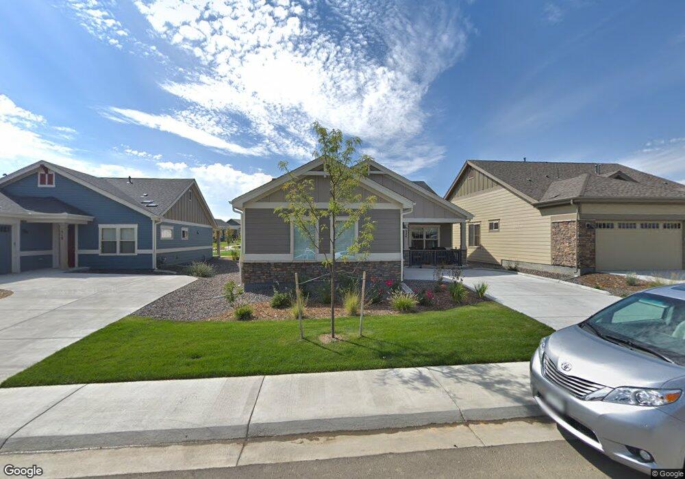
This home is located at 524 Brennan Cir, Erie, CO 80516 and is currently estimated at $673,293, approximately $421 per square foot. 524 Brennan Cir is a home located in Boulder County with nearby schools including Red Hawk Elementary School, Erie Middle School, and Erie High School.
Ownership History
Date
Name
Owned For
Owner Type
Purchase Details
Closed on
Jul 14, 2022
Sold by
Gilbertson Brenda L
Bought by
Setchell Thomas C and Setchell Jane M
Current Estimated Value
Purchase Details
Closed on
Sep 18, 2018
Sold by
Gilbertson David A and Gilbertson Brenda L
Bought by
Gilbertson David A
Purchase Details
Closed on
Mar 31, 2017
Sold by
Bc Brennan Llc
Bought by
Gilbertson David A
Home Financials for this Owner
Home Financials are based on the most recent Mortgage that was taken out on this home.
Original Mortgage
$200,000
Interest Rate
3.32%
Mortgage Type
New Conventional
Create a Home Valuation Report for This Property
The Home Valuation Report is an in-depth analysis detailing your home's value as well as a comparison with similar homes in the area
Home Values in the Area
Average Home Value in this Area
Purchase History
| Date | Buyer | Sale Price | Title Company |
|---|---|---|---|
| Setchell Thomas C | $655,000 | None Listed On Document | |
| Gilbertson David A | -- | None Available | |
| Gilbertson David A | $434,756 | Land Title Guaranty Co |
Source: Public Records
Mortgage History
| Date | Status | Borrower | Loan Amount |
|---|---|---|---|
| Previous Owner | Gilbertson David A | $200,000 |
Source: Public Records
Tax History Compared to Growth
Tax History
| Year | Tax Paid | Tax Assessment Tax Assessment Total Assessment is a certain percentage of the fair market value that is determined by local assessors to be the total taxable value of land and additions on the property. | Land | Improvement |
|---|---|---|---|---|
| 2025 | $5,991 | $42,050 | $9,906 | $32,144 |
| 2024 | $5,991 | $42,050 | $9,906 | $32,144 |
| 2023 | $5,960 | $40,200 | $13,199 | $30,686 |
| 2022 | $5,379 | $33,541 | $8,312 | $25,229 |
| 2021 | $5,490 | $34,506 | $8,551 | $25,955 |
| 2020 | $5,561 | $32,239 | $4,862 | $27,377 |
| 2019 | $5,551 | $32,239 | $4,862 | $27,377 |
| 2018 | $5,120 | $29,765 | $6,408 | $23,357 |
| 2017 | $1,965 | $13,030 | $7,084 | $5,946 |
| 2016 | $1,809 | $0 | $0 | $0 |
Source: Public Records
Map
Nearby Homes
- 688 Brennan Cir
- 549 Brennan Cir
- 671 Brennan Cir
- 375 Tynan Dr
- 1673 Bain Dr
- 1665 Bain Dr
- 225 Maplewood Dr
- 717 Mcclure Ct
- 1600 Bain Dr
- 873 Mcclure Way
- 936 Weston Cir
- 644 N Beshear Ct
- 1600 Brimble Dr
- 159 Summerfield Ct
- 700 S Beshear Ct
- 1386 Avgare Way
- 1517 Stanley Dr
- 993 Stanley Ct
- 1416 Stockton Dr
- 650 Smoky Hills Ln
- 530 Brennan Cir
- 518 Brennan Cir
- 510 Brennan Cir
- 521 Brennan Cir
- 519 Brennan Cir
- 502 Brennan Cir
- 523 Brennan Cir
- 594 Brennan St
- 539 Brennan Cir
- 557 Brennan Cir
- 559 Brennan Cir
- 523 Brennan Cir
- 539 Brennan Cir
- 517 Brennan Cir
- 525 Brennan Cir
- 525 Brennan Cir
- 537 Brennan Cir
- 537 Brennan Ct
- 501 Brennan Cir
- 555 Brennan Ct