525 Calle Las Caleras Santa Barbara, CA 93109
Campanil NeighborhoodEstimated Value: $5,266,000 - $6,626,000
5
Beds
3
Baths
4,513
Sq Ft
$1,319/Sq Ft
Est. Value
About This Home
This home is located at 525 Calle Las Caleras, Santa Barbara, CA 93109 and is currently estimated at $5,954,614, approximately $1,319 per square foot. 525 Calle Las Caleras is a home located in Santa Barbara County with nearby schools including La Cumbre Junior High School, San Marcos Senior High School, and Olive Grove Charter - Santa Barbara.
Ownership History
Date
Name
Owned For
Owner Type
Purchase Details
Closed on
Mar 20, 2007
Sold by
Demopoulos George M and Jones Cherie C
Bought by
Demopoulos George M and Jones Cherie C
Current Estimated Value
Purchase Details
Closed on
Dec 5, 1996
Sold by
Thompson John R and Thompson Susan A
Bought by
Demopoulos George M and Jones Cherie C
Home Financials for this Owner
Home Financials are based on the most recent Mortgage that was taken out on this home.
Original Mortgage
$750,000
Outstanding Balance
$75,069
Interest Rate
7.53%
Estimated Equity
$5,879,545
Purchase Details
Closed on
Jan 25, 1994
Sold by
Thompson John R and Thompson Susan A
Bought by
Thompson John R and Thompson Susan A
Home Financials for this Owner
Home Financials are based on the most recent Mortgage that was taken out on this home.
Original Mortgage
$649,950
Interest Rate
4.25%
Create a Home Valuation Report for This Property
The Home Valuation Report is an in-depth analysis detailing your home's value as well as a comparison with similar homes in the area
Home Values in the Area
Average Home Value in this Area
Purchase History
| Date | Buyer | Sale Price | Title Company |
|---|---|---|---|
| Demopoulos George M | -- | None Available | |
| Demopoulos George M | -- | Equity Title Company | |
| Thompson John R | -- | Stewart Title Of Santa Barba |
Source: Public Records
Mortgage History
| Date | Status | Borrower | Loan Amount |
|---|---|---|---|
| Open | Demopoulos George M | $750,000 | |
| Previous Owner | Thompson John R | $649,950 |
Source: Public Records
Tax History Compared to Growth
Tax History
| Year | Tax Paid | Tax Assessment Tax Assessment Total Assessment is a certain percentage of the fair market value that is determined by local assessors to be the total taxable value of land and additions on the property. | Land | Improvement |
|---|---|---|---|---|
| 2025 | $19,146 | $1,848,362 | $732,907 | $1,115,455 |
| 2023 | $19,146 | $1,776,591 | $704,449 | $1,072,142 |
| 2022 | $18,472 | $1,741,757 | $690,637 | $1,051,120 |
| 2021 | $18,046 | $1,707,606 | $677,096 | $1,030,510 |
| 2020 | $17,859 | $1,690,098 | $670,154 | $1,019,944 |
| 2019 | $17,547 | $1,656,960 | $657,014 | $999,946 |
| 2018 | $17,297 | $1,624,472 | $644,132 | $980,340 |
| 2017 | $16,725 | $1,592,620 | $631,502 | $961,118 |
| 2016 | $16,325 | $1,561,393 | $619,120 | $942,273 |
| 2014 | $15,879 | $1,507,816 | $597,876 | $909,940 |
Source: Public Records
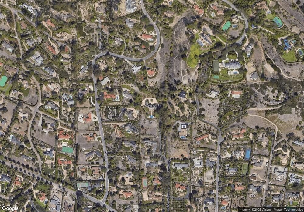
Map
Nearby Homes
- 626 Sea Ranch Dr
- 3201 Campanil Dr
- 3221 Campanil Dr
- 3324 Campanil Dr
- 4101 Mariposa Dr
- 4121 Creciente Dr
- 4145 Creciente Dr
- 112 Vista Del Mar Dr
- 3213 Cliff Dr
- 4241 Mariposa Dr
- 4295 Marina Dr
- 4140 Hidden Oaks Rd
- 4335 Marina Dr
- 4347 Marina Dr
- 1520 Portesuello Ave
- 2210 Saint James Dr
- 4265 Cresta Ave
- 930 Monte Dr
- 734 Calle de Los Amigos
- 3966 Laguna Blanca Dr
- 526 Sea Ranch Dr
- 616 Sea Ranch Dr
- 516 Sea Ranch Dr
- 575 Braemar Ranch Rd
- 575 Braemar Ranch Ln
- 744 Sea Ranch Dr
- 734 Sea Ranch Dr
- 606 Sea Ranch
- 606 Sea Ranch Dr
- 501 Calle Las Caleras
- 520 Calle Las Caleras
- 506 Sea Ranch Dr
- 626 Sea Ranch 93109
- 0 Calle Las Caleras
- 434 Sea Ranch Dr
- 737 Sea Ranch Dr
- 433 Calle Las Caleras
- 515 Braemar Ranch Ln
- 646 Sea Ranch Dr
- 525 Sea Ranch Dr