525 Harbor Dr Lancaster, TN 38569
Estimated Value: $436,824 - $627,000
--
Bed
3
Baths
2,264
Sq Ft
$236/Sq Ft
Est. Value
About This Home
This home is located at 525 Harbor Dr, Lancaster, TN 38569 and is currently estimated at $535,206, approximately $236 per square foot. 525 Harbor Dr is a home located in DeKalb County.
Ownership History
Date
Name
Owned For
Owner Type
Purchase Details
Closed on
Nov 28, 2012
Sold by
Federal National Mortgage Association
Bought by
Yule James and Yule Susanne
Current Estimated Value
Purchase Details
Closed on
Mar 14, 2012
Sold by
Pazouki Ali D
Bought by
Federal National Mortgage Association
Purchase Details
Closed on
Nov 6, 2001
Sold by
Waterfront Group
Bought by
Pazouki Ali D and Pazouki Renee L
Create a Home Valuation Report for This Property
The Home Valuation Report is an in-depth analysis detailing your home's value as well as a comparison with similar homes in the area
Home Values in the Area
Average Home Value in this Area
Purchase History
| Date | Buyer | Sale Price | Title Company |
|---|---|---|---|
| Yule James | $178,500 | -- | |
| Federal National Mortgage Association | $478,581 | -- | |
| Pazouki Ali D | $54,915 | -- |
Source: Public Records
Tax History Compared to Growth
Tax History
| Year | Tax Paid | Tax Assessment Tax Assessment Total Assessment is a certain percentage of the fair market value that is determined by local assessors to be the total taxable value of land and additions on the property. | Land | Improvement |
|---|---|---|---|---|
| 2024 | $2,010 | $80,075 | $17,500 | $62,575 |
| 2023 | $0 | $80,075 | $17,500 | $62,575 |
| 2022 | $1,386 | $80,075 | $17,500 | $62,575 |
| 2021 | $1,386 | $80,075 | $17,500 | $62,575 |
| 2020 | $1,437 | $80,075 | $17,500 | $62,575 |
| 2019 | $1,437 | $67,650 | $17,500 | $50,150 |
| 2018 | $1,240 | $67,650 | $17,500 | $50,150 |
| 2017 | $1,240 | $67,650 | $17,500 | $50,150 |
| 2016 | $1,240 | $67,650 | $17,500 | $50,150 |
| 2015 | $1,096 | $67,650 | $17,500 | $50,150 |
| 2014 | $1,163 | $71,775 | $17,500 | $54,275 |
| 2013 | $1,344 | $82,950 | $17,500 | $65,450 |
Source: Public Records
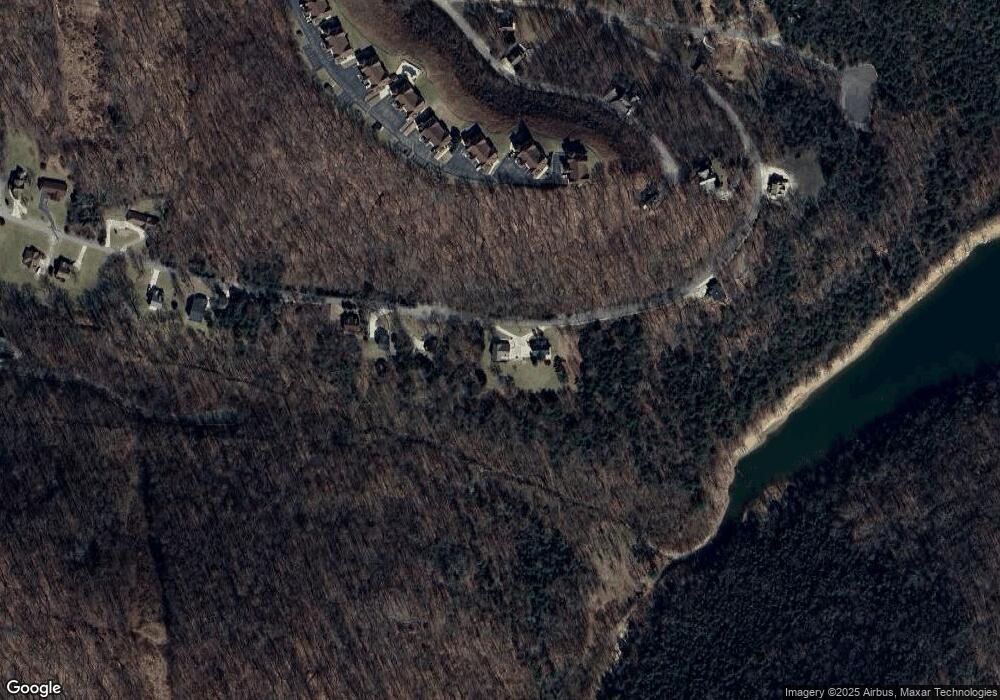
Map
Nearby Homes
- 0 Bay View Dr Unit RTC3030507
- 35 Bayview Dr
- 120 Bay Dr
- 615 Harbor Dr
- 11 Bay Dr
- 56 Harbor Dr
- 183 Baymont Dr
- 7100 Dale Ridge Rd Unit A4
- 7100 Dale Ridge Rd
- 77 Baymont Dr
- 0 Bayside Dr
- 110 Village Way
- 7383 Dale Ridge Rd
- 7720 Dale Ridge Rd
- 0 Long Branch Rd Unit RTC2985993
- 0 Long Branch Rd Unit 238990
- 574 Hayes Ridge Rd
- 448 Dean Acre Ln
- 425 Hickman Rd
- 10 Temperance Cir
- 385 Harbor Pointe Dr
- 515 Harbor Dr
- 377 Harbor Dr
- 545 Harbor Dr
- 19 Harbor Dr
- 555 Harbor Dr
- 0 Harbor Dr Lot 66 Unit 2022561
- 565 Harbor Dr
- 0 Harbor Dr Lot 65 Unit 2022559
- 415 Harbor Dr
- 250 Bayview Dr
- 29 Bay View Dr
- 372 Harbor Dr
- 165 Bayview Dr
- 0 Bay View Dr Unit RTC2432732
- 135 Bayview Dr
- Lot 35 Bayview Dr
- Lot 55 Harbor Dr
- 00 Lot 28 Harbor Dr
- 375 Harbor Dr