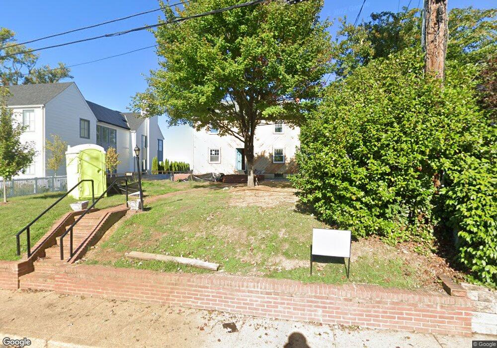
525 Horn Point Dr Annapolis, MD 21403
Eastport NeighborhoodEstimated Value: $1,384,000 - $3,846,000
--
Bed
2
Baths
2,032
Sq Ft
$1,228/Sq Ft
Est. Value
About This Home
This home is located at 525 Horn Point Dr, Annapolis, MD 21403 and is currently estimated at $2,496,249, approximately $1,228 per square foot. 525 Horn Point Dr is a home located in Anne Arundel County with nearby schools including Eastport Elementary School, Annapolis Middle School, and Annapolis High School.
Ownership History
Date
Name
Owned For
Owner Type
Purchase Details
Closed on
Jan 4, 2023
Sold by
Smith Terence L
Bought by
Terence L Smith Revocable Trust
Current Estimated Value
Purchase Details
Closed on
Jul 13, 1994
Sold by
Duvall Elizabeth H
Bought by
Smith Terence L
Home Financials for this Owner
Home Financials are based on the most recent Mortgage that was taken out on this home.
Original Mortgage
$340,000
Interest Rate
8.51%
Create a Home Valuation Report for This Property
The Home Valuation Report is an in-depth analysis detailing your home's value as well as a comparison with similar homes in the area
Home Values in the Area
Average Home Value in this Area
Purchase History
| Date | Buyer | Sale Price | Title Company |
|---|---|---|---|
| Terence L Smith Revocable Trust | -- | -- | |
| Smith Terence L | $425,000 | -- |
Source: Public Records
Mortgage History
| Date | Status | Borrower | Loan Amount |
|---|---|---|---|
| Previous Owner | Smith Terence L | $340,000 |
Source: Public Records
Tax History Compared to Growth
Tax History
| Year | Tax Paid | Tax Assessment Tax Assessment Total Assessment is a certain percentage of the fair market value that is determined by local assessors to be the total taxable value of land and additions on the property. | Land | Improvement |
|---|---|---|---|---|
| 2025 | $25,430 | $1,825,567 | -- | -- |
| 2024 | $25,430 | $1,769,633 | $0 | $0 |
| 2023 | $18,389 | $1,280,600 | $1,194,000 | $86,600 |
| 2022 | $18,044 | $1,280,600 | $1,194,000 | $86,600 |
| 2021 | $19,708 | $1,280,600 | $1,194,000 | $86,600 |
| 2020 | $19,708 | $1,397,700 | $1,314,500 | $83,200 |
| 2019 | $18,044 | $1,278,800 | $0 | $0 |
| 2018 | $16,134 | $1,159,900 | $0 | $0 |
| 2017 | $13,585 | $1,041,000 | $0 | $0 |
| 2016 | -- | $1,001,333 | $0 | $0 |
| 2015 | -- | $1,028,333 | $0 | $0 |
| 2014 | -- | $922,000 | $0 | $0 |
Source: Public Records
Map
Nearby Homes
- 3 Chester Ave
- 513 Horn Point Dr
- 27 Jeremys Way
- 120 Chesapeake Ave
- 200 Chesapeake Ave
- 215 Chester Ave
- 320 Chester Ave
- 312 Severn Ave Unit W-401
- 301 Burnside St Unit C 202
- 7101 Bay Front Dr Unit 204
- 316 Burnside St Unit 101
- 289 State St Unit 4
- 287 State St Unit 3
- 2010 Quay Village Ct Unit 201
- 2010 Quay Village Ct Unit 101
- 9 Shipwright St
- 10 Sailors Way
- 168 Green St
- 179 Green St
- 32 East St
- 1 Horn Point Ct
- 523 Horn Point Dr
- 2 Horn Point Ct
- 3 Horn Point Ct
- 4 Horn Point Ct
- 5 Horn Point Ct
- 6 Horn Point Ct
- 521 Horn Point Dr
- 7 Horn Point Ct
- 2 Chester Ave
- 524 Horn Point Dr
- 8 Horn Point Ct
- 522 Horn Point Dr
- 519 Horn Point Dr
- 2 Eastern Ave
- 14 Horn Point Ct
- 14 Horn Point Ct Unit 7
- 13 Horn Point Ct
- 15 Horn Point Ct
- 16 Horn Point Ct