525 Lillian Cir Salisbury, NC 28147
Estimated Value: $467,193 - $615,000
--
Bed
3
Baths
2,020
Sq Ft
$256/Sq Ft
Est. Value
About This Home
This home is located at 525 Lillian Cir, Salisbury, NC 28147 and is currently estimated at $517,798, approximately $256 per square foot. 525 Lillian Cir is a home located in Rowan County with nearby schools including Mount Ulla Elementary School, West Rowan Middle School, and West Rowan High School.
Ownership History
Date
Name
Owned For
Owner Type
Purchase Details
Closed on
Jul 8, 2003
Sold by
Pacillas J Robert and Pacillas Michele Bowen
Bought by
Rivenbark Leonard J and Rivenbark Susan T
Current Estimated Value
Home Financials for this Owner
Home Financials are based on the most recent Mortgage that was taken out on this home.
Original Mortgage
$181,600
Interest Rate
5.35%
Mortgage Type
Unknown
Create a Home Valuation Report for This Property
The Home Valuation Report is an in-depth analysis detailing your home's value as well as a comparison with similar homes in the area
Home Values in the Area
Average Home Value in this Area
Purchase History
| Date | Buyer | Sale Price | Title Company |
|---|---|---|---|
| Rivenbark Leonard J | $227,000 | -- |
Source: Public Records
Mortgage History
| Date | Status | Borrower | Loan Amount |
|---|---|---|---|
| Previous Owner | Rivenbark Leonard J | $181,600 | |
| Closed | Rivenbark Leonard J | $34,050 |
Source: Public Records
Tax History Compared to Growth
Tax History
| Year | Tax Paid | Tax Assessment Tax Assessment Total Assessment is a certain percentage of the fair market value that is determined by local assessors to be the total taxable value of land and additions on the property. | Land | Improvement |
|---|---|---|---|---|
| 2025 | $2,475 | $365,273 | $86,250 | $279,023 |
| 2024 | $2,475 | $365,273 | $86,250 | $279,023 |
| 2023 | $2,475 | $365,273 | $86,250 | $279,023 |
| 2022 | $1,808 | $239,433 | $71,250 | $168,183 |
| 2021 | $1,790 | $239,433 | $71,250 | $168,183 |
| 2020 | $1,790 | $239,433 | $71,250 | $168,183 |
| 2019 | $1,790 | $239,433 | $71,250 | $168,183 |
| 2018 | $1,551 | $209,241 | $71,250 | $137,991 |
| 2017 | $1,551 | $209,241 | $71,250 | $137,991 |
| 2016 | $1,551 | $209,241 | $71,250 | $137,991 |
| 2015 | $1,569 | $209,241 | $71,250 | $137,991 |
| 2014 | $1,481 | $207,094 | $71,250 | $135,844 |
Source: Public Records
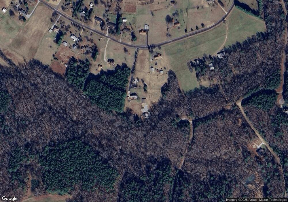
Map
Nearby Homes
- 170 Saint James Way
- 7245 Mooresville Rd
- 1110 Coppergate Dr
- 1120 Coppergate Dr
- 1150 Coppergate Dr
- 1160 Coppergate Dr
- 1030 Stonegate Dr
- 1240 Coppergate Dr
- 210 Goldenrod Cir
- 1033 Stonegate Dr
- Azalea II Plan at Yorkshire Farms
- Daffodil Plan at Yorkshire Farms
- 1280 Coppergate Dr
- 203 Trinity Ct
- 1335 Coppergate Dr
- 1045 Castle Mill Ln Unit 38
- 1355 Coppergate Dr
- 1370 Coppergate Dr
- 1340 Coppergate Dr
- 1213 Stonegate Dr
- 425 Lillian Cir
- 535 Lillian Cir
- lot 48 Christopher Crossing Dr
- lot 46 Christopher Crossing Dr
- lot 26 Christopher Crossing Dr
- lot 24 Christopher Crossing Dr
- 430 Lillian Cir
- 335 Lillian Cir
- lot 45 Christopher Crossing Dr
- lot 27 Christopher Crossing Dr
- lot 25 Christopher Crossing Dr
- 260 Christopher Crossing Dr
- 420 Lillian Cir
- 540 Lillian Cir
- 340 Lillian Cir Unit NULL
- 330 Lillian Cir
- 325 Lillian Cir
- 630 Lillian Cir
- 225 Lillian Cir
- 220 Ryans Crossing Dr