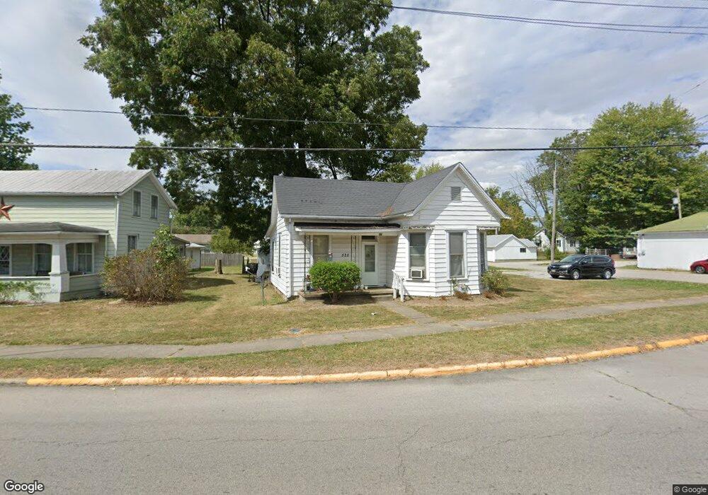
525 S Mt Orab Pike Georgetown, OH 45121
Estimated Value: $122,601 - $183,000
3
Beds
1
Bath
1,242
Sq Ft
$124/Sq Ft
Est. Value
About This Home
This home is located at 525 S Mt Orab Pike, Georgetown, OH 45121 and is currently estimated at $153,900, approximately $123 per square foot. 525 S Mt Orab Pike is a home located in Brown County with nearby schools including Georgetown Elementary School and Georgetown Jr/Sr High School.
Ownership History
Date
Name
Owned For
Owner Type
Purchase Details
Closed on
Apr 22, 2010
Sold by
Williams Mari Beth and Williams George
Bought by
Adams & Brown Counties Economic Opportun
Current Estimated Value
Home Financials for this Owner
Home Financials are based on the most recent Mortgage that was taken out on this home.
Original Mortgage
$38,250
Interest Rate
5.02%
Mortgage Type
Commercial
Purchase Details
Closed on
Feb 24, 2009
Sold by
Estate Of James Ward Mcbride
Bought by
Williams Mari Beth
Create a Home Valuation Report for This Property
The Home Valuation Report is an in-depth analysis detailing your home's value as well as a comparison with similar homes in the area
Home Values in the Area
Average Home Value in this Area
Purchase History
| Date | Buyer | Sale Price | Title Company |
|---|---|---|---|
| Adams & Brown Counties Economic Opportun | $38,250 | Attorney | |
| Williams Mari Beth | -- | None Available |
Source: Public Records
Mortgage History
| Date | Status | Borrower | Loan Amount |
|---|---|---|---|
| Closed | Adams & Brown Counties Economic Opportun | $38,250 |
Source: Public Records
Tax History Compared to Growth
Tax History
| Year | Tax Paid | Tax Assessment Tax Assessment Total Assessment is a certain percentage of the fair market value that is determined by local assessors to be the total taxable value of land and additions on the property. | Land | Improvement |
|---|---|---|---|---|
| 2024 | $754 | $20,800 | $2,910 | $17,890 |
| 2023 | $754 | $17,070 | $2,460 | $14,610 |
| 2022 | $673 | $17,070 | $2,460 | $14,610 |
| 2021 | $667 | $17,070 | $2,460 | $14,610 |
| 2020 | $590 | $14,230 | $2,050 | $12,180 |
| 2019 | $586 | $14,230 | $2,050 | $12,180 |
| 2018 | $569 | $14,230 | $2,050 | $12,180 |
| 2017 | $405 | $12,020 | $2,620 | $9,400 |
| 2016 | $405 | $12,020 | $2,620 | $9,400 |
| 2015 | $419 | $12,020 | $2,620 | $9,400 |
| 2014 | $419 | $11,780 | $2,380 | $9,400 |
| 2013 | $418 | $11,780 | $2,380 | $9,400 |
Source: Public Records
Map
Nearby Homes
- 508 Mount Orab Pike
- 331 Spring Grove Dr
- 427 Kenwood Ave
- 874 Mount Orab Pike
- 403 Elmwood Ct
- 399 Elmwood Ct
- 401 Elmwood Ct
- 405 N Main St
- 60 New St
- 406 E North St
- 102 Bill Dee Dr
- 306 W 2nd St
- 402 S Pleasant St
- 505 S Water St
- 666 E State St
- 418 Home St
- 708 E State St
- 143 Hamer Rd
- 25 Douglas Ln
- 0 St Rt 221 & Footbridge Unit 1826509
- 523 Mount Orab Pike
- 104 Illinois St Unit 106
- 601 N Apple St
- 605 N Apple St
- 524 N Main St
- 600 N Main St
- 604 N Main St
- 603 N Apple St
- 519 Mount Orab Pike
- 527 N Main St
- 607 N Apple St
- 523 N Main St
- 606 N Main St
- 521 N Main St
- 615 N Apple St
- 603 N Main St
- 608 N Main St
- 516 N Apple St
- 607 N Main St
- 515 Mount Orab Pike