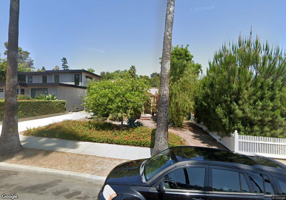
5252 Townsend Ave Los Angeles, CA 90041
Eagle Rock NeighborhoodEstimated Value: $1,239,000 - $1,514,000
3
Beds
2
Baths
1,150
Sq Ft
$1,220/Sq Ft
Est. Value
About This Home
This home is located at 5252 Townsend Ave, Los Angeles, CA 90041 and is currently estimated at $1,403,237, approximately $1,220 per square foot. 5252 Townsend Ave is a home located in Los Angeles County with nearby schools including Dahlia Heights Elementary, Eagle Rock High School, and PUC CALS Middle School and Early College High.
Ownership History
Date
Name
Owned For
Owner Type
Purchase Details
Closed on
Jun 5, 2007
Sold by
Patterson David R
Bought by
Walsh Thomas and Recinos Patricia
Current Estimated Value
Home Financials for this Owner
Home Financials are based on the most recent Mortgage that was taken out on this home.
Original Mortgage
$508,000
Outstanding Balance
$309,675
Interest Rate
6.21%
Mortgage Type
New Conventional
Estimated Equity
$1,093,562
Create a Home Valuation Report for This Property
The Home Valuation Report is an in-depth analysis detailing your home's value as well as a comparison with similar homes in the area
Home Values in the Area
Average Home Value in this Area
Purchase History
| Date | Buyer | Sale Price | Title Company |
|---|---|---|---|
| Walsh Thomas | $635,000 | Fidelity National Title Co |
Source: Public Records
Mortgage History
| Date | Status | Borrower | Loan Amount |
|---|---|---|---|
| Open | Walsh Thomas | $508,000 |
Source: Public Records
Tax History Compared to Growth
Tax History
| Year | Tax Paid | Tax Assessment Tax Assessment Total Assessment is a certain percentage of the fair market value that is determined by local assessors to be the total taxable value of land and additions on the property. | Land | Improvement |
|---|---|---|---|---|
| 2025 | $10,433 | $850,750 | $680,607 | $170,143 |
| 2024 | $10,285 | $834,069 | $667,262 | $166,807 |
| 2023 | $10,086 | $817,716 | $654,179 | $163,537 |
| 2022 | $9,617 | $801,683 | $641,352 | $160,331 |
| 2021 | $9,501 | $785,965 | $628,777 | $157,188 |
| 2020 | $9,598 | $777,907 | $622,330 | $155,577 |
| 2019 | $9,217 | $762,655 | $610,128 | $152,527 |
| 2018 | $9,162 | $747,702 | $598,165 | $149,537 |
| 2016 | $8,422 | $690,000 | $552,000 | $138,000 |
| 2015 | $8,006 | $655,000 | $524,000 | $131,000 |
| 2014 | $7,206 | $574,000 | $459,000 | $115,000 |
Source: Public Records
Map
Nearby Homes
- 5152 Vincent Ave
- 1691 Hill Dr
- 1515 Colorado Blvd
- 5130 Loleta Ave
- 0 Maemurray Dr
- 5150 Argus Dr
- 4984 Vincent Ave
- 4989 Vincent Ave
- 1871 Hill Dr
- 1440 Holbrook St
- 1300 Blue Hill Rd
- 1325 Linda Rosa Ave
- 4953 Mount Royal Dr
- 4934 La Roda Ave
- 4890 Floristan Ave
- 2001 Hill Dr
- 1832 Oak Tree Dr Unit 8
- 1832 Oak Tree Dr Unit 13
- 2541 Sleepy Hollow Dr
- 1874 Chickasaw Ave
- 5258 Townsend Ave
- 5248 Townsend Ave
- 5264 Townsend Ave
- 5244 Townsend Ave
- 5266 Townsend Ave
- 5238 Townsend Ave
- 5251 Dahlia Dr
- 5247 Dahlia Dr
- 5257 Dahlia Dr
- 5272 Townsend Ave
- 5232 Townsend Ave
- 5253 Townsend Ave
- 5257 Townsend Ave
- 5249 Townsend Ave
- 5235 Dahlia Dr
- 5263 Dahlia Dr
- 5265 Dahlia Dr
- 5265 Townsend Ave
- 5243 Townsend Ave
- 5278 Townsend Ave