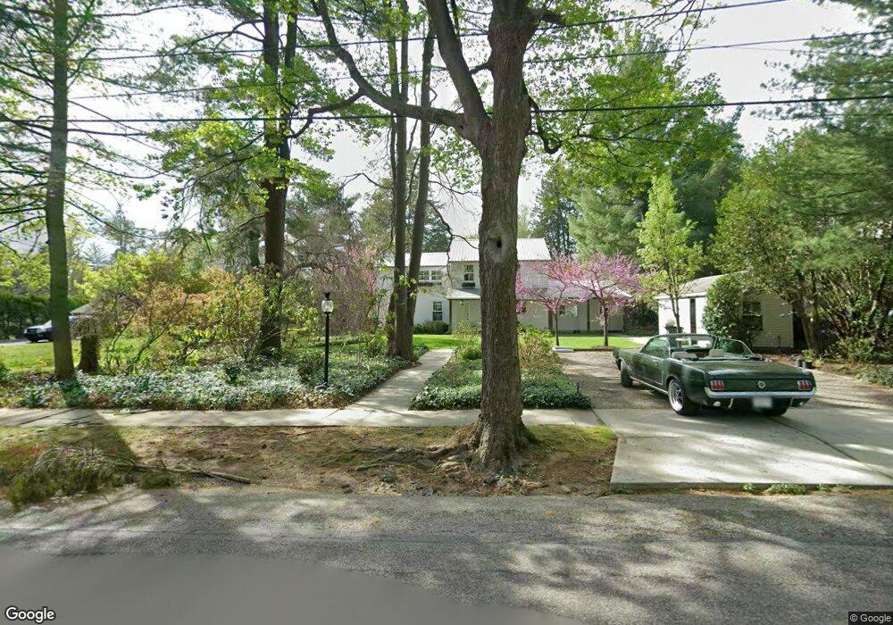
527 W Moreland Ave Philadelphia, PA 19118
Chestnut Hill NeighborhoodEstimated Value: $998,000 - $1,298,919
3
Beds
2
Baths
2,280
Sq Ft
$502/Sq Ft
Est. Value
About This Home
This home is located at 527 W Moreland Ave, Philadelphia, PA 19118 and is currently estimated at $1,143,730, approximately $501 per square foot. 527 W Moreland Ave is a home located in Philadelphia County with nearby schools including John Story Jenks Academy for the Arts an, Roxborough High School, and Renaissance Charter School.
Ownership History
Date
Name
Owned For
Owner Type
Purchase Details
Closed on
Mar 31, 2004
Sold by
Mason Glenn S and Mason Lizanne W D
Bought by
Wolf Drew M
Current Estimated Value
Home Financials for this Owner
Home Financials are based on the most recent Mortgage that was taken out on this home.
Original Mortgage
$472,000
Outstanding Balance
$200,100
Interest Rate
4.25%
Mortgage Type
Purchase Money Mortgage
Estimated Equity
$943,630
Create a Home Valuation Report for This Property
The Home Valuation Report is an in-depth analysis detailing your home's value as well as a comparison with similar homes in the area
Home Values in the Area
Average Home Value in this Area
Purchase History
| Date | Buyer | Sale Price | Title Company |
|---|---|---|---|
| Wolf Drew M | $590,000 | -- |
Source: Public Records
Mortgage History
| Date | Status | Borrower | Loan Amount |
|---|---|---|---|
| Open | Wolf Drew M | $472,000 |
Source: Public Records
Tax History Compared to Growth
Tax History
| Year | Tax Paid | Tax Assessment Tax Assessment Total Assessment is a certain percentage of the fair market value that is determined by local assessors to be the total taxable value of land and additions on the property. | Land | Improvement |
|---|---|---|---|---|
| 2025 | $15,202 | $1,228,100 | $245,600 | $982,500 |
| 2024 | $15,202 | $1,228,100 | $245,600 | $982,500 |
| 2023 | $15,202 | $1,086,000 | $217,200 | $868,800 |
| 2022 | $15,202 | $1,086,000 | $217,200 | $868,800 |
| 2021 | $11,428 | $0 | $0 | $0 |
| 2020 | $11,428 | $0 | $0 | $0 |
| 2019 | $11,928 | $0 | $0 | $0 |
| 2018 | $9,156 | $0 | $0 | $0 |
| 2017 | $9,156 | $0 | $0 | $0 |
| 2016 | $9,156 | $0 | $0 | $0 |
| 2015 | $8,676 | $0 | $0 | $0 |
| 2014 | -- | $654,100 | $580,090 | $74,010 |
| 2012 | -- | $96,000 | $18,550 | $77,450 |
Source: Public Records
Map
Nearby Homes
- 530-536 W Moreland Ave
- 318 W Springfield Ave
- 8023 Seminole St
- 109 W Moreland Ave
- 7330 Bryan St
- 8401 Saint Martins Ln
- 358 W Mount Airy Ave
- 7213 Cresheim Rd
- 442 Wellesley Rd
- 439 W Durham St
- 7141 Cresheim Rd
- 7510 Boyer St
- 8100 Germantown Ave Unit B
- 8100 Germantown Ave Unit A
- 121 W Mount Pleasant Ave
- 8207 Shawnee St
- 8215 Shawnee St
- 308 Rex Ave
- 8702 Seminole St
- 117 W Gravers Ln
- 525 W Moreland Ave
- 541 W Moreland Ave
- 532 W Springfield Ave
- 540 W Springfield Ave
- 511 W Moreland Ave
- 530 W Moreland Ave
- 536 W Moreland Ave
- 543 W Moreland Ave
- 544 W Springfield Ave
- 530 W Moreland Ave
- 536 W Springfield Ave
- 528 W Moreland Ave
- 540 W Moreland Ave
- 542 W Moreland Ave
- 546 W Springfield Ave
- 520 W Moreland Ave
- 531 W Moreland Ave
- 7709 Cherokee St
- 7713 Cherokee St
- 535 W Mermaid Ln