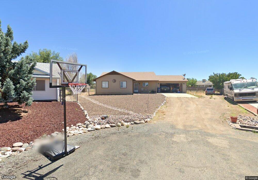
5279 N Hondo Cir Prescott Valley, AZ 86314
Estimated Value: $365,135 - $405,000
--
Bed
--
Bath
1,280
Sq Ft
$303/Sq Ft
Est. Value
About This Home
This home is located at 5279 N Hondo Cir, Prescott Valley, AZ 86314 and is currently estimated at $388,284, approximately $303 per square foot. 5279 N Hondo Cir is a home located in Yavapai County with nearby schools including Coyote Springs Elementary School, Glassford Hill Middle School, and Bradshaw Mountain High School.
Ownership History
Date
Name
Owned For
Owner Type
Purchase Details
Closed on
Jun 4, 2021
Sold by
Towne Julie Ann and Towne Family Trust
Bought by
Towne Julie Ann and Towne Dwayne
Current Estimated Value
Purchase Details
Closed on
Aug 29, 2018
Sold by
Towne Julie Ann
Bought by
Towne Julie Ann and The Towne Family Trust
Purchase Details
Closed on
Oct 10, 2001
Sold by
Bohn Kenneth R and Bohn Janice L
Bought by
Towne Julie Ann
Purchase Details
Closed on
Apr 5, 1994
Sold by
Gonzales Domingo and Gonzalez Rosemary
Bought by
Bohn Kenneth R and Bohn Janice L
Create a Home Valuation Report for This Property
The Home Valuation Report is an in-depth analysis detailing your home's value as well as a comparison with similar homes in the area
Home Values in the Area
Average Home Value in this Area
Purchase History
| Date | Buyer | Sale Price | Title Company |
|---|---|---|---|
| Towne Julie Ann | -- | Yavapai Title | |
| Towne Julie Ann | -- | None Available | |
| Towne Julie Ann | -- | -- | |
| Bohn Kenneth R | $8,500 | Capital Title Agency |
Source: Public Records
Tax History Compared to Growth
Tax History
| Year | Tax Paid | Tax Assessment Tax Assessment Total Assessment is a certain percentage of the fair market value that is determined by local assessors to be the total taxable value of land and additions on the property. | Land | Improvement |
|---|---|---|---|---|
| 2026 | $1,607 | $31,606 | -- | -- |
| 2024 | $1,490 | $32,740 | -- | -- |
| 2023 | $1,490 | $27,186 | $4,469 | $22,717 |
| 2022 | $1,466 | $21,805 | $3,080 | $18,725 |
| 2021 | $1,505 | $20,158 | $3,028 | $17,130 |
| 2020 | $1,453 | $0 | $0 | $0 |
| 2019 | $1,434 | $0 | $0 | $0 |
| 2018 | $1,371 | $0 | $0 | $0 |
| 2017 | $1,344 | $0 | $0 | $0 |
| 2016 | $1,301 | $0 | $0 | $0 |
| 2015 | $1,269 | $0 | $0 | $0 |
| 2014 | $1,219 | $0 | $0 | $0 |
Source: Public Records
Map
Nearby Homes
- 5344 N Cord Dr
- 8790 E Totem Cir
- 5575 E Magpie Dr
- 5080 N Ranger Rd
- 5244 N Pinto Dr
- 8428 E Manley Dr
- 5290 N Robert Rd
- 9101 E Manley Dr
- 4767 N Stallion Dr
- 5601 N Robert Rd
- 4870 N Meixner Rd Unit 4
- 5088 N Desert Ln
- 5035 N Robert Rd
- 8800 E Westward Way
- 4895 N Arnold Dr
- 5445 N Mesquite Dr
- 4700 N Socorro Dr
- 5050 N Saddleback Dr
- 5700 N Western Blvd Unit A
- 4661 N Carla Vista Dr
- 5217 N Verde Ln
- 5281 N Hondo Cir
- 5235 N Verde Ln Unit 1
- 5235 N Verde Ln
- 5230 N Lone Dr Unit X
- 5230 N Lone Dr
- 5212 N Lone Dr
- 5212 N Lone Dr Unit 1
- 5282 N Hondo Cir
- 5201 N Verde Ln Unit 9
- 5240 N Lone Dr
- 5240 N Lone Dr Unit 9
- 5251 N Verde Ln
- 5200 N Lone Dr
- 5283 N Hondo Cir
- 5284 N Hondo Cir
- 5218 N Verde Ln
- 5269 N Verde Ln
- 5250 N Lone Dr Unit 9
- 5266 N Hondo Cir