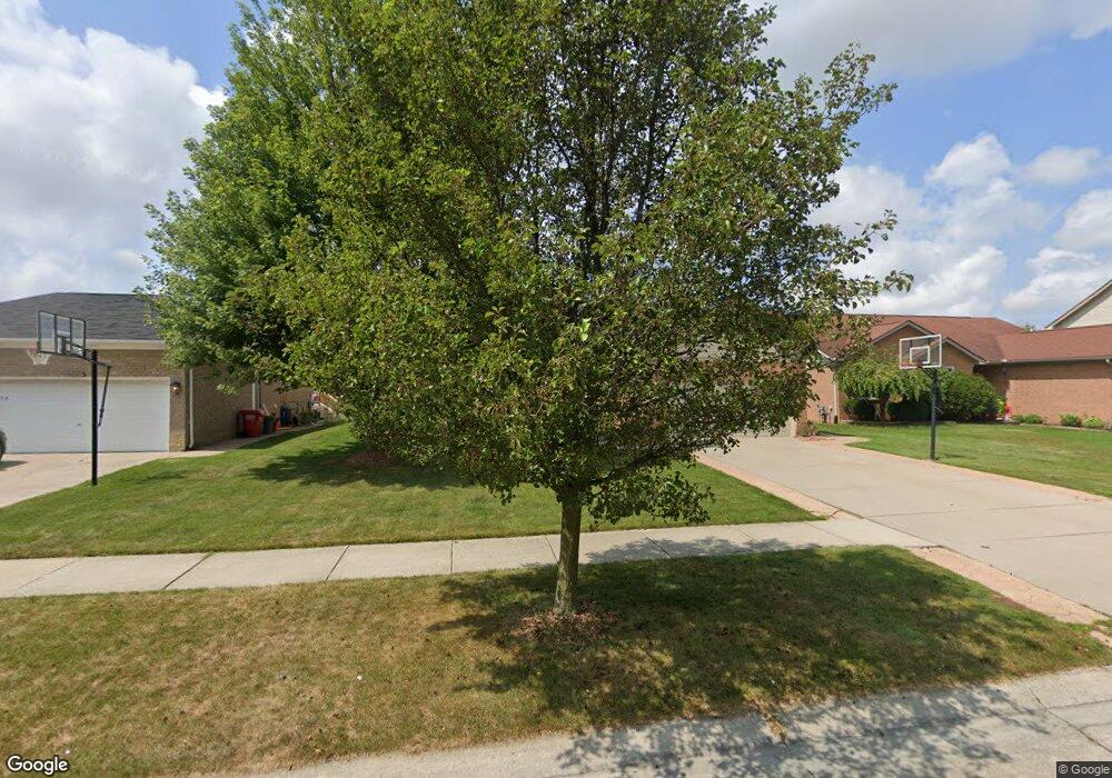
52811 Muirfield Dr Chesterfield, MI 48051
Estimated Value: $357,023 - $428,000
3
Beds
3
Baths
1,599
Sq Ft
$244/Sq Ft
Est. Value
About This Home
This home is located at 52811 Muirfield Dr, Chesterfield, MI 48051 and is currently estimated at $390,506, approximately $244 per square foot. 52811 Muirfield Dr is a home located in Macomb County with nearby schools including Joseph M. Carkenord Elementary School, L'Anse Creuse High School - North, and Merritt Academy.
Ownership History
Date
Name
Owned For
Owner Type
Purchase Details
Closed on
Jan 12, 2024
Sold by
Darson Allen
Bought by
Darson Deanna and Dorson Allen
Current Estimated Value
Purchase Details
Closed on
Mar 9, 2018
Sold by
Darson Allen W and Darson Deanna L
Bought by
Advance Equities Ltd
Purchase Details
Closed on
May 15, 2002
Sold by
National Development Co
Bought by
Darson Allen W
Home Financials for this Owner
Home Financials are based on the most recent Mortgage that was taken out on this home.
Original Mortgage
$188,750
Interest Rate
7%
Create a Home Valuation Report for This Property
The Home Valuation Report is an in-depth analysis detailing your home's value as well as a comparison with similar homes in the area
Home Values in the Area
Average Home Value in this Area
Purchase History
| Date | Buyer | Sale Price | Title Company |
|---|---|---|---|
| Darson Deanna | -- | None Listed On Document | |
| Advance Equities Ltd | $153,974 | None Available | |
| Darson Allen W | $198,178 | -- |
Source: Public Records
Mortgage History
| Date | Status | Borrower | Loan Amount |
|---|---|---|---|
| Previous Owner | Darson Allen W | $188,750 |
Source: Public Records
Tax History Compared to Growth
Tax History
| Year | Tax Paid | Tax Assessment Tax Assessment Total Assessment is a certain percentage of the fair market value that is determined by local assessors to be the total taxable value of land and additions on the property. | Land | Improvement |
|---|---|---|---|---|
| 2025 | $3,500 | $158,700 | $0 | $0 |
| 2024 | $2,215 | $155,200 | $0 | $0 |
| 2023 | $2,101 | $142,200 | $0 | $0 |
| 2022 | $3,186 | $125,500 | $0 | $0 |
| 2021 | $3,087 | $120,800 | $0 | $0 |
| 2020 | $1,929 | $114,800 | $0 | $0 |
| 2019 | $2,929 | $105,600 | $0 | $0 |
| 2018 | $2,786 | $101,700 | $13,000 | $88,700 |
| 2017 | $2,751 | $94,450 | $13,000 | $81,450 |
| 2016 | $2,732 | $94,450 | $0 | $0 |
| 2015 | $1,098 | $90,150 | $0 | $0 |
| 2014 | $1,098 | $76,000 | $10,050 | $65,950 |
| 2012 | -- | $0 | $0 | $0 |
Source: Public Records
Map
Nearby Homes
- 52823 Muirfield Dr
- 29008 Pinehurst Dr
- 29402 Georgetown Dr
- 51817 Lionel Ln Unit 12
- 29310 Jamestown Dr
- 51857 Adler Park Dr E Unit 44
- 0 Gratiot Ave
- 53064 Barberry Cir
- 51768 Adler Park Dr W Unit 23
- N W Corner 24 Mile & Gratiot Ave
- 51848 Adler Park Dr E Unit 75
- 29636 Cambridge Ct
- 51719 Adler Park Dr W Unit 77
- 53153 Gratiot Ave
- 28338 Adler Park Dr S
- 28372 Adler Park Dr S
- 51592 Stern Ln
- 52104 Worthington Ln
- 51630 Hale Ln Unit 86
- 29321 Debbie Dr Unit 43
- 52817 Muirfield Dr
- 52805 Muirfield Dr
- 52808 Turnberry Dr
- 52814 Turnberry Dr
- 52802 Turnberry Dr
- 29009 Pinehurst Dr
- 29005 Pinehurst Dr
- 52820 Turnberry Dr
- 52812 Muirfield Dr
- 52818 Muirfield Dr
- 52806 Muirfield Dr
- 52829 Muirfield Dr
- 29001 Pinehurst Dr
- 52824 Muirfield Dr
- 52800 Muirfield Dr
- 52826 Turnberry Dr
- 52835 Muirfield Dr
- 52830 Muirfield Dr
- 52794 Muirfield Dr
- 52832 Turnberry Dr