529 Benson Rd Leland, IL 60531
Estimated Value: $281,007 - $552,000
--
Bed
--
Bath
--
Sq Ft
4
Acres
About This Home
This home is located at 529 Benson Rd, Leland, IL 60531 and is currently estimated at $380,002. 529 Benson Rd is a home located in DeKalb County with nearby schools including Leland Elementary School and Leland High School.
Ownership History
Date
Name
Owned For
Owner Type
Purchase Details
Closed on
Mar 8, 2006
Sold by
Flanagan Laura
Bought by
Flanagan Robert J
Current Estimated Value
Home Financials for this Owner
Home Financials are based on the most recent Mortgage that was taken out on this home.
Original Mortgage
$87,000
Outstanding Balance
$49,632
Interest Rate
6.33%
Mortgage Type
New Conventional
Estimated Equity
$330,370
Create a Home Valuation Report for This Property
The Home Valuation Report is an in-depth analysis detailing your home's value as well as a comparison with similar homes in the area
Home Values in the Area
Average Home Value in this Area
Purchase History
| Date | Buyer | Sale Price | Title Company |
|---|---|---|---|
| Flanagan Robert J | -- | -- |
Source: Public Records
Mortgage History
| Date | Status | Borrower | Loan Amount |
|---|---|---|---|
| Open | Flanagan Robert J | $87,000 |
Source: Public Records
Tax History Compared to Growth
Tax History
| Year | Tax Paid | Tax Assessment Tax Assessment Total Assessment is a certain percentage of the fair market value that is determined by local assessors to be the total taxable value of land and additions on the property. | Land | Improvement |
|---|---|---|---|---|
| 2024 | $5,419 | $76,636 | $23,305 | $53,331 |
| 2023 | $5,419 | $71,071 | $21,613 | $49,458 |
| 2022 | $5,310 | $68,914 | $20,957 | $47,957 |
| 2021 | $4,998 | $64,946 | $19,750 | $45,196 |
| 2020 | $4,740 | $61,537 | $18,713 | $42,824 |
| 2019 | $4,679 | $59,228 | $18,011 | $41,217 |
| 2018 | $4,491 | $56,754 | $17,259 | $39,495 |
| 2017 | $4,262 | $53,340 | $16,221 | $37,119 |
| 2016 | $4,151 | $51,229 | $15,579 | $35,650 |
| 2015 | -- | $48,329 | $14,697 | $33,632 |
| 2014 | -- | $47,893 | $14,564 | $33,329 |
| 2013 | -- | $49,293 | $14,990 | $34,303 |
Source: Public Records
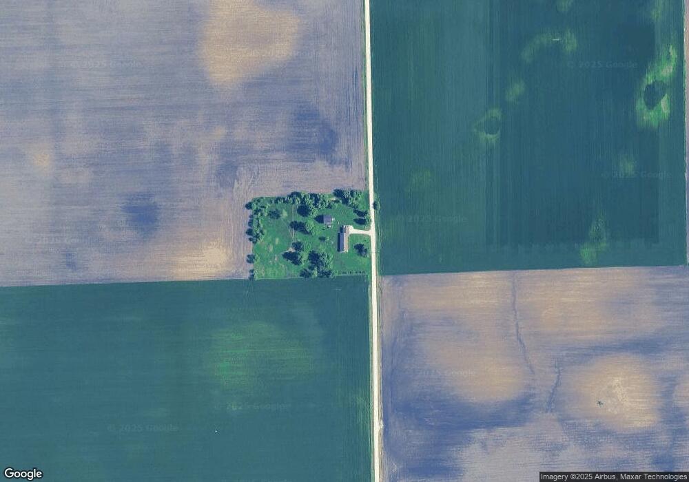
Map
Nearby Homes
- 210 W Hall St
- 205 W North St
- 415 S Essex St
- 5065 E Sleepy Hollow Rd
- 1386 N 4535th Rd
- 1372 N 4535th Rd
- 1381 N 4535th Rd
- 0 E 1369th Rd
- 1351 N 4483rd Rd
- 615 E Union St
- 215 S East St
- 402 N 2nd St
- 407 S Ottawa St
- 4444 E 1319th Rd
- 505 Stilson St
- 4444 E 1553rd Rd
- 515 4th St
- 1388 N 4535th Rd
- 511 Loraine St
- 501 Loraine St