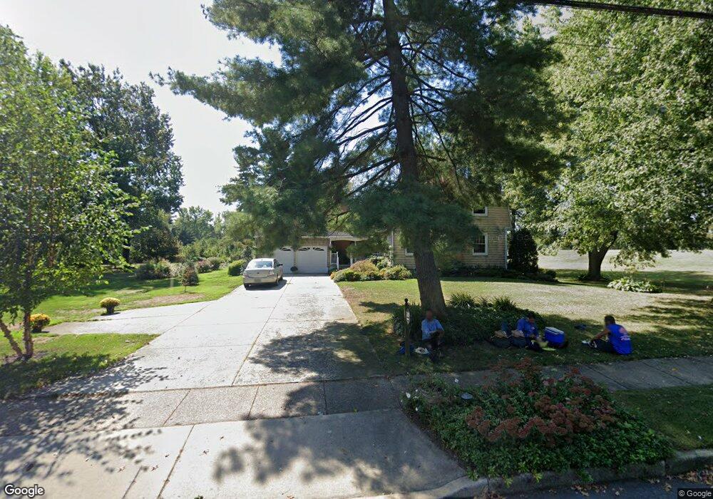
529 Cooper St Woodbury, NJ 08096
Estimated Value: $433,000 - $514,120
--
Bed
--
Bath
2,692
Sq Ft
$172/Sq Ft
Est. Value
About This Home
This home is located at 529 Cooper St, Woodbury, NJ 08096 and is currently estimated at $462,780, approximately $171 per square foot. 529 Cooper St is a home located in Gloucester County with nearby schools including Woodbury Junior/Senior High School and Holy Angels Catholic School.
Ownership History
Date
Name
Owned For
Owner Type
Purchase Details
Closed on
Jun 4, 2004
Sold by
Campbell Gerard J
Bought by
Campbell Gerard J and Cusato Christine C
Current Estimated Value
Purchase Details
Closed on
Aug 29, 2003
Sold by
Blessing Herbert L
Bought by
Campbell Gerard J
Home Financials for this Owner
Home Financials are based on the most recent Mortgage that was taken out on this home.
Original Mortgage
$188,000
Outstanding Balance
$85,891
Interest Rate
6.02%
Mortgage Type
Stand Alone First
Estimated Equity
$376,889
Create a Home Valuation Report for This Property
The Home Valuation Report is an in-depth analysis detailing your home's value as well as a comparison with similar homes in the area
Home Values in the Area
Average Home Value in this Area
Purchase History
| Date | Buyer | Sale Price | Title Company |
|---|---|---|---|
| Campbell Gerard J | -- | -- | |
| Campbell Gerard J | $235,000 | Homestead Title Agency |
Source: Public Records
Mortgage History
| Date | Status | Borrower | Loan Amount |
|---|---|---|---|
| Open | Campbell Gerard J | $188,000 |
Source: Public Records
Tax History Compared to Growth
Tax History
| Year | Tax Paid | Tax Assessment Tax Assessment Total Assessment is a certain percentage of the fair market value that is determined by local assessors to be the total taxable value of land and additions on the property. | Land | Improvement |
|---|---|---|---|---|
| 2025 | $12,879 | $267,700 | $51,300 | $216,400 |
| 2024 | $12,421 | $267,700 | $51,300 | $216,400 |
| 2023 | $12,421 | $267,700 | $51,300 | $216,400 |
| 2022 | $12,202 | $267,700 | $51,300 | $216,400 |
| 2021 | $12,026 | $267,700 | $51,300 | $216,400 |
| 2020 | $12,854 | $260,300 | $56,200 | $204,100 |
| 2019 | $12,422 | $260,300 | $56,200 | $204,100 |
| 2018 | $12,146 | $260,300 | $56,200 | $204,100 |
| 2017 | $11,940 | $260,300 | $56,200 | $204,100 |
| 2016 | $13,189 | $291,600 | $94,900 | $196,700 |
| 2015 | $12,973 | $291,600 | $94,900 | $196,700 |
| 2014 | $12,769 | $291,600 | $94,900 | $196,700 |
Source: Public Records
Map
Nearby Homes
- 31 S Bayard Ave
- 25 N Evergreen Ave
- 470 E Barber Ave
- 437 E Barber Ave
- 10 Lake Dr
- 16 N Maple St Unit A5
- 38 Pinecrest Dr
- 161 Riggins Blvd
- 204 Hunter St
- 226 S Maple St
- 118 Caribou Ct
- 82 Hopkins St
- 78 Hopkins St
- 71 Cooper St
- 54 Knollwood Dr
- 89 E Barber Ave
- BL 129 LT 8 10-20 Buffalo Ct
- 53 Knollwood Dr
- 433 Trowbridge Ave
- 43 Curtis Ave