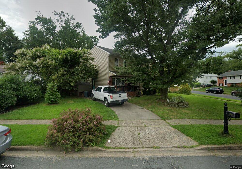
529 Kenora Dr Millersville, MD 21108
Estimated Value: $419,739 - $538,000
--
Bed
2
Baths
2,128
Sq Ft
$224/Sq Ft
Est. Value
About This Home
This home is located at 529 Kenora Dr, Millersville, MD 21108 and is currently estimated at $476,185, approximately $223 per square foot. 529 Kenora Dr is a home located in Anne Arundel County with nearby schools including Rippling Woods Elementary School, Old Mill Middle School North, and Old Mill High School.
Ownership History
Date
Name
Owned For
Owner Type
Purchase Details
Closed on
Aug 5, 1997
Sold by
Phillips Paul A
Bought by
Mckenna John M and Mckenna Angela S
Current Estimated Value
Purchase Details
Closed on
Feb 1, 1991
Sold by
Cameron James M
Bought by
Phillips Paul A
Home Financials for this Owner
Home Financials are based on the most recent Mortgage that was taken out on this home.
Original Mortgage
$116,900
Interest Rate
9.56%
Create a Home Valuation Report for This Property
The Home Valuation Report is an in-depth analysis detailing your home's value as well as a comparison with similar homes in the area
Home Values in the Area
Average Home Value in this Area
Purchase History
| Date | Buyer | Sale Price | Title Company |
|---|---|---|---|
| Mckenna John M | $137,500 | -- | |
| Phillips Paul A | $129,900 | -- |
Source: Public Records
Mortgage History
| Date | Status | Borrower | Loan Amount |
|---|---|---|---|
| Previous Owner | Phillips Paul A | $116,900 | |
| Closed | Mckenna John M | -- |
Source: Public Records
Tax History Compared to Growth
Tax History
| Year | Tax Paid | Tax Assessment Tax Assessment Total Assessment is a certain percentage of the fair market value that is determined by local assessors to be the total taxable value of land and additions on the property. | Land | Improvement |
|---|---|---|---|---|
| 2025 | $2,786 | $415,700 | -- | -- |
| 2024 | $2,786 | $394,900 | $202,000 | $192,900 |
| 2023 | $2,706 | $386,433 | $0 | $0 |
| 2022 | $2,533 | $377,967 | $0 | $0 |
| 2021 | $4,981 | $369,500 | $177,000 | $192,500 |
| 2020 | $2,406 | $360,000 | $0 | $0 |
| 2019 | $2,366 | $350,500 | $0 | $0 |
| 2018 | $3,458 | $341,000 | $134,300 | $206,700 |
| 2017 | $2,222 | $322,033 | $0 | $0 |
| 2016 | -- | $303,067 | $0 | $0 |
| 2015 | -- | $284,100 | $0 | $0 |
| 2014 | -- | $282,300 | $0 | $0 |
Source: Public Records
Map
Nearby Homes
- 8218 Sherbrooke Ct
- 518 Kenora Dr
- 525 Old Mill Rd
- 529 Chalet Dr W
- 2664 Carver Rd
- 8421 Norwood Dr
- 565 Belmawr Place
- 494 Kenilworth Ct
- 429 Hardmoore Ct
- 8224 Bernard Dr N
- 462 Aventura Ct
- 584 Brightview Dr
- 266 Nathan Way
- 258 Nathan Way
- 248 Michele Cir
- 326 Eagles Ridge Way
- 701 Kenora Ct
- 8251 Rupert Rd S
- 8253 Rupert Rd S
- 268 Glenda Ct
- 527 Kenora Dr
- 8221A Sherbrooke Ct
- 8221 Sherbrooke Ct
- 525 Kenora Dr
- 8223 Sherbrooke Ct
- 528 Kenora Dr
- 526 Kenora Dr
- 524 Kenora Dr
- 8222 Sherbrooke Ct
- 523 Kenora Dr
- 521 Kenora Dr
- 522 Kenora Dr
- 8225 Sherbrooke Ct
- 8224 Sherbrooke Ct
- 519 Kenora Dr
- 520 Kenora Dr
- 517 Kenora Dr
- 8227 Sherbrooke Ct
- 8229 Sherbrooke Ct
- 8226 Sherbrooke Ct