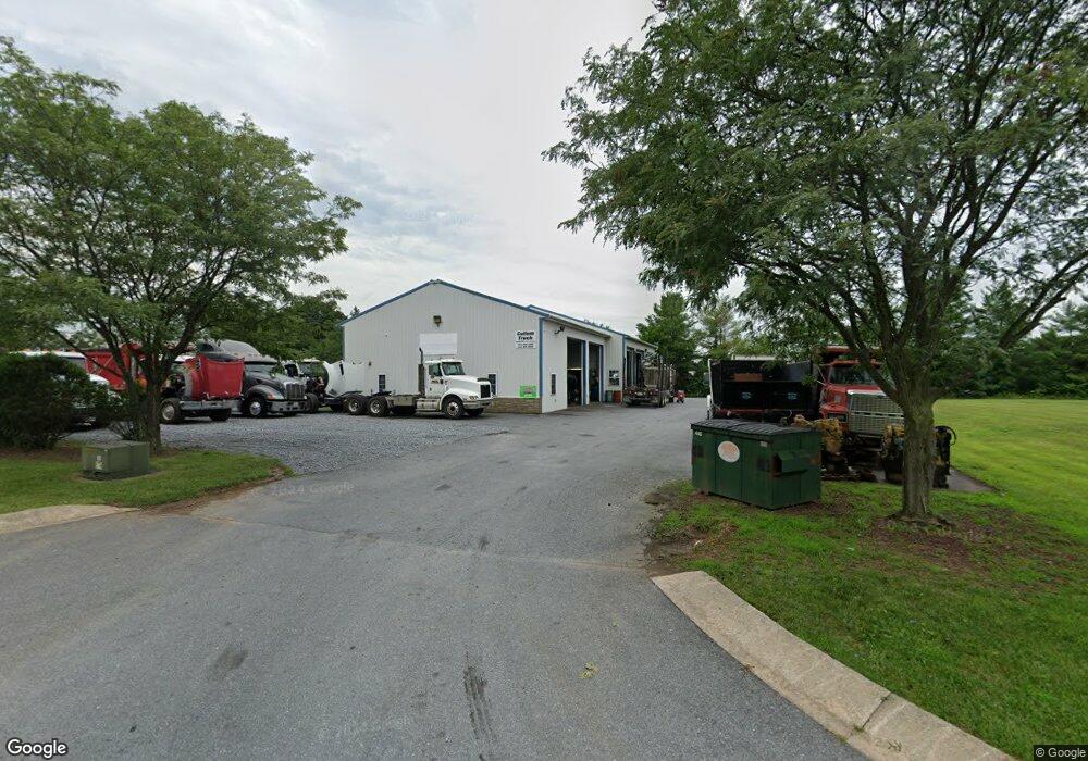
5291 Enterprise St Sykesville, MD 21784
--
Bed
--
Bath
4,520
Sq Ft
0.99
Acres
About This Home
This home is located at 5291 Enterprise St, Sykesville, MD 21784. 5291 Enterprise St is a home located in Carroll County with nearby schools including Linton Springs Elementary School, Sykesville Middle School, and Century High School.
Ownership History
Date
Name
Owned For
Owner Type
Purchase Details
Closed on
Dec 23, 2003
Sold by
Burns Charles E
Bought by
Enterprise At Sykesville Llc
Purchase Details
Closed on
Jul 18, 2000
Sold by
Burns Charles E
Bought by
Burns Charles E and Burns Ruth A
Purchase Details
Closed on
Jun 13, 1994
Sold by
Chesapeake Holdings Central
Bought by
Demoss Lee R
Home Financials for this Owner
Home Financials are based on the most recent Mortgage that was taken out on this home.
Original Mortgage
$36,000
Interest Rate
8.29%
Mortgage Type
Commercial
Create a Home Valuation Report for This Property
The Home Valuation Report is an in-depth analysis detailing your home's value as well as a comparison with similar homes in the area
Home Values in the Area
Average Home Value in this Area
Purchase History
| Date | Buyer | Sale Price | Title Company |
|---|---|---|---|
| Enterprise At Sykesville Llc | $135,000 | -- | |
| Burns Charles E | -- | -- | |
| Burns Charles E | $132,500 | -- | |
| Demoss Lee R | $60,000 | -- |
Source: Public Records
Mortgage History
| Date | Status | Borrower | Loan Amount |
|---|---|---|---|
| Previous Owner | Demoss Lee R | $36,000 |
Source: Public Records
Tax History Compared to Growth
Tax History
| Year | Tax Paid | Tax Assessment Tax Assessment Total Assessment is a certain percentage of the fair market value that is determined by local assessors to be the total taxable value of land and additions on the property. | Land | Improvement |
|---|---|---|---|---|
| 2025 | $5,321 | $506,100 | $0 | $0 |
| 2024 | $5,321 | $456,900 | $300,600 | $156,300 |
| 2023 | $5,261 | $456,900 | $300,600 | $156,300 |
| 2022 | $5,261 | $456,900 | $300,600 | $156,300 |
| 2021 | $10,847 | $456,900 | $300,600 | $156,300 |
| 2020 | $5,173 | $450,367 | $0 | $0 |
| 2019 | $5,145 | $443,833 | $0 | $0 |
| 2018 | $5,027 | $437,300 | $300,600 | $136,700 |
| 2017 | $4,991 | $434,100 | $0 | $0 |
| 2016 | -- | $430,900 | $0 | $0 |
| 2015 | -- | $427,700 | $0 | $0 |
| 2014 | -- | $427,700 | $0 | $0 |
Source: Public Records
Map
Nearby Homes
- 42 Liberty Rd Unit D
- 5530 Jim Pickett Rd
- 224 Old Liberty Rd
- 610 Okemo Dr
- 618 Lynn Way
- 5615 Bartholow Rd
- 707 Old Liberty Rd
- 601 Sherry Dr
- HS1 Kenard Dr
- 5712 Hodges Rd
- 608 Angus Dr
- 5725 Hodges Rd
- 1103 Cape Ct
- 4114 Old Washington Rd
- 0 Johnsville Rd Unit MDCR2020412
- 1051 Berkley Dr
- 6751 White Rock Rd
- 6504 Freedom Ave
- 970 Oak Tree Rd
- 0 Bear Branch Rd
- 5401 New Expansion Dr
- 5367 Klee Mill Rd S
- 5403 New Expansion Dr
- 5357 Klee Mill Rd S
- 39 Enterprise St
- 5400 New Expansion Dr Unit A
- 5400 New Expansion Dr
- 5355 Klee Mill Rd S
- 5292 Enterprise St
- 5349 Klee Mill Rd S
- 5294 Enterprise St
- 5343 Klee Mill Rd S
- 5296 Enterprise St Unit C
- 5296 Enterprise St
- 5301 Enterprise St
- 5315 Klee Mill Rd S
- 209 Adam Smith St
- 5385 Klee Mill Rd S
- 115 Dixon Ln
- 5305 Enterprise St