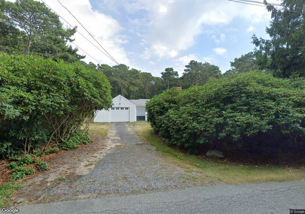
53 Oliver Snow Rd Harwich Port, MA 02646
Harwich Port NeighborhoodEstimated Value: $412,000 - $617,000
2
Beds
1
Bath
868
Sq Ft
$573/Sq Ft
Est. Value
About This Home
This home is located at 53 Oliver Snow Rd, Harwich Port, MA 02646 and is currently estimated at $497,661, approximately $573 per square foot. 53 Oliver Snow Rd is a home located in Barnstable County with nearby schools including Harwich Elementary School, Chatham Elementary School, and Monomoy Regional Middle School.
Ownership History
Date
Name
Owned For
Owner Type
Purchase Details
Closed on
Mar 18, 2025
Sold by
Kelley Robert
Bought by
Os Nt and Bayer
Current Estimated Value
Purchase Details
Closed on
Apr 12, 2013
Sold by
Robert P Kelley Ret and Bank Of America Na
Bought by
Kelley Robert
Purchase Details
Closed on
Sep 27, 1967
Bought by
Kelley Robert
Create a Home Valuation Report for This Property
The Home Valuation Report is an in-depth analysis detailing your home's value as well as a comparison with similar homes in the area
Home Values in the Area
Average Home Value in this Area
Purchase History
| Date | Buyer | Sale Price | Title Company |
|---|---|---|---|
| Os Nt | $425,000 | None Available | |
| Os Nt | $425,000 | None Available | |
| Kelley Robert | -- | -- | |
| Kelley Robert | -- | -- | |
| Kelley Robert | -- | -- |
Source: Public Records
Tax History Compared to Growth
Tax History
| Year | Tax Paid | Tax Assessment Tax Assessment Total Assessment is a certain percentage of the fair market value that is determined by local assessors to be the total taxable value of land and additions on the property. | Land | Improvement |
|---|---|---|---|---|
| 2025 | $2,675 | $452,600 | $224,300 | $228,300 |
| 2024 | $2,594 | $430,100 | $211,600 | $218,500 |
| 2023 | $2,721 | $409,800 | $221,200 | $188,600 |
| 2022 | $2,880 | $355,100 | $209,100 | $146,000 |
| 2021 | $2,713 | $315,500 | $190,100 | $125,400 |
| 2020 | $2,732 | $312,900 | $189,500 | $123,400 |
| 2019 | $2,590 | $298,700 | $182,100 | $116,600 |
| 2018 | $2,576 | $284,200 | $165,500 | $118,700 |
| 2017 | $2,363 | $263,400 | $150,900 | $112,500 |
| 2016 | $2,347 | $258,800 | $150,900 | $107,900 |
| 2015 | $2,267 | $252,700 | $147,900 | $104,800 |
| 2014 | $2,163 | $246,600 | $143,500 | $103,100 |
Source: Public Records
Map
Nearby Homes
- 820 Massachusetts 28
- 106 Chatham Rd
- 28 Dale Rd
- 27 Quaker Ln
- 21 Princes St
- 15 Shannon Rd
- 8 Old Wharf Rd
- 42 Marthas Ln
- 53 Freeman St
- 6 Marthas Ln
- 44 Beriah Brooks Rd
- 303 Bank St
- 9 Jason Ln
- 4 Hope Ln
- 957 Orleans Rd
- 1011 Massachusetts 28 Unit C-6
- 1011 Route 28 Unit 6
- 116 Parallel St
- 1025 Orleans-Harwich Rd
- 11 Windjammer Rd
- 0 Oliver Snow Rd
- 9 Surrey Ln
- 59 Oliver Snow Rd
- 60 Oliver Snow Rd
- 41 Oliver Snow Rd
- 65 Oliver Snow Rd
- 8 Surrey Ln
- 19 Surrey Ln
- 37 Oliver Snow Rd
- 12 Surrey Ln
- 29 W Surrey
- 71 Oliver Snow Rd
- 3 Johnsons Landing
- 69 Oliver Snow Rd
- 18 Surrey Ln
- 59 Ridgeport Dr
- 33 Oliver Snow Rd
- 21 Surrey Ln
- 11 Ridgeport Dr
- 66 Oliver Snow Rd