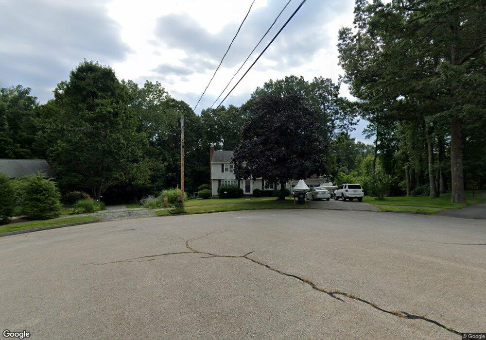
53 Sandy Glen Dr Holden, MA 01520
Estimated Value: $538,000 - $581,000
4
Beds
3
Baths
1,785
Sq Ft
$313/Sq Ft
Est. Value
About This Home
This home is located at 53 Sandy Glen Dr, Holden, MA 01520 and is currently estimated at $558,804, approximately $313 per square foot. 53 Sandy Glen Dr is a home located in Worcester County with nearby schools including Wachusett Regional High School, Abby Kelley Foster Charter Public School, and Bancroft School.
Ownership History
Date
Name
Owned For
Owner Type
Purchase Details
Closed on
Jul 7, 2011
Sold by
Ljungberg Charles H and Ljungberg Joanne M
Bought by
Ljungberg Irt and Ljungberg David A
Current Estimated Value
Purchase Details
Closed on
Nov 18, 1974
Bought by
Ljungberg David A
Create a Home Valuation Report for This Property
The Home Valuation Report is an in-depth analysis detailing your home's value as well as a comparison with similar homes in the area
Home Values in the Area
Average Home Value in this Area
Purchase History
| Date | Buyer | Sale Price | Title Company |
|---|---|---|---|
| Ljungberg Irt | -- | -- | |
| Ljungberg David A | -- | -- |
Source: Public Records
Mortgage History
| Date | Status | Borrower | Loan Amount |
|---|---|---|---|
| Previous Owner | Ljungberg David A | $50,000 |
Source: Public Records
Tax History Compared to Growth
Tax History
| Year | Tax Paid | Tax Assessment Tax Assessment Total Assessment is a certain percentage of the fair market value that is determined by local assessors to be the total taxable value of land and additions on the property. | Land | Improvement |
|---|---|---|---|---|
| 2025 | $6,762 | $487,900 | $178,300 | $309,600 |
| 2024 | $6,458 | $456,400 | $173,000 | $283,400 |
| 2023 | $6,116 | $408,000 | $150,500 | $257,500 |
| 2022 | $5,750 | $347,200 | $117,600 | $229,600 |
| 2021 | $5,624 | $323,200 | $111,900 | $211,300 |
| 2020 | $5,438 | $319,900 | $106,600 | $213,300 |
| 2019 | $5,338 | $305,900 | $106,600 | $199,300 |
| 2018 | $5,117 | $290,600 | $101,600 | $189,000 |
| 2017 | $4,934 | $280,500 | $101,600 | $178,900 |
| 2016 | $4,580 | $265,500 | $96,600 | $168,900 |
| 2015 | $4,664 | $257,400 | $96,600 | $160,800 |
| 2014 | $4,569 | $257,400 | $96,600 | $160,800 |
Source: Public Records
Map
Nearby Homes
- 308 Holden St
- 9 Emily St
- 189 Holden St
- 27 Tea Party Cir Unit 27
- 2 Explorers Way Unit 2
- 314 Main St
- 23 Gail Dr
- 27 Mayflower Cir
- 9 Birchwood Dr
- 113 Indian Hill Rd
- 5 Birch Hill Rd
- 250 Shrewsbury St
- 160 Shrewsbury St
- 96 Indian Hill Rd
- 156 Newell Rd
- 9 Watt Rd
- LOT-2 Ararat St
- 12 Tattan Farm Rd
- 41 Mohave Rd
- 68 Indian Hill Rd
- 52 Sandy Glen Dr
- 45 Sandy Glen Dr
- 48 Sandy Glen Dr
- 37 Sandy Glen Dr
- 42 Sandy Glen Dr
- 28 Vista Cir
- 30 Vista Cir
- 30 Vista Cir Unit Lot 8A
- 30 Vista Cir Unit 8A
- 32 Vista Cir
- 32 Vista Cir Unit 9A
- 32 Vista Cir Unit Lot 9A
- 31 Sandy Glen Dr
- 26 Vista Cir Unit 6
- 36 Sandy Glen Dr
- 31 Vista Cir
- 24 Vista Cir
- 34 Vista Cir Unit 10A
- 25 Sandy Glen Dr
- 28 Sandy Glen Dr