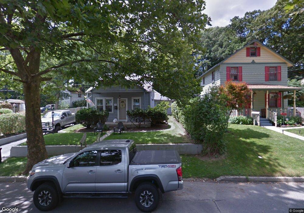
53 Tower St Huntington Station, NY 11746
Estimated Value: $495,000 - $645,868
--
Bed
--
Bath
--
Sq Ft
0.25
Acres
About This Home
This home is located at 53 Tower St, Huntington Station, NY 11746 and is currently estimated at $576,623. 53 Tower St is a home located in Suffolk County with nearby schools including Woodhull Intermediate School, Flower Hill Primary School, and J Taylor Finley Middle School.
Ownership History
Date
Name
Owned For
Owner Type
Purchase Details
Closed on
Apr 13, 2022
Sold by
Negri Joseph P
Bought by
Badillo Edward
Current Estimated Value
Purchase Details
Closed on
Jun 30, 2010
Sold by
Cloonan Scott and Cloonan Katherine
Bought by
Negri Joseph P
Home Financials for this Owner
Home Financials are based on the most recent Mortgage that was taken out on this home.
Original Mortgage
$226,943
Interest Rate
3.37%
Mortgage Type
FHA
Create a Home Valuation Report for This Property
The Home Valuation Report is an in-depth analysis detailing your home's value as well as a comparison with similar homes in the area
Home Values in the Area
Average Home Value in this Area
Purchase History
| Date | Buyer | Sale Price | Title Company |
|---|---|---|---|
| Badillo Edward | $515,000 | None Available | |
| Negri Joseph P | $230,000 | -- |
Source: Public Records
Mortgage History
| Date | Status | Borrower | Loan Amount |
|---|---|---|---|
| Previous Owner | Negri Joseph P | $226,943 |
Source: Public Records
Tax History Compared to Growth
Tax History
| Year | Tax Paid | Tax Assessment Tax Assessment Total Assessment is a certain percentage of the fair market value that is determined by local assessors to be the total taxable value of land and additions on the property. | Land | Improvement |
|---|---|---|---|---|
| 2024 | $6,918 | $1,700 | $200 | $1,500 |
| 2023 | $3,459 | $1,700 | $200 | $1,500 |
| 2022 | $5,921 | $1,700 | $200 | $1,500 |
| 2021 | $5,829 | $1,700 | $200 | $1,500 |
| 2020 | $5,740 | $1,700 | $200 | $1,500 |
| 2019 | $11,481 | $0 | $0 | $0 |
| 2018 | $5,342 | $1,700 | $200 | $1,500 |
| 2017 | $5,342 | $1,700 | $200 | $1,500 |
| 2016 | $5,279 | $1,700 | $200 | $1,500 |
| 2015 | -- | $1,700 | $200 | $1,500 |
| 2014 | -- | $1,700 | $200 | $1,500 |
Source: Public Records
Map
Nearby Homes
- 49 Tower St
- 0 Tower St
- 128 Winding St
- 43 Columbia St
- 92 Columbia St
- 24 Columbia St
- 200 Lowndes Ave Unit A
- 280 Lowndes Ave Unit 111G
- 280 Lowndes Ave Unit 305G
- 280 Lowndes Ave Unit 208
- 62 Lowndes Ave
- 12 Terrace Dr
- 11 Horizon Ct
- 137 Columbia St
- 71 Biltmore Cir
- 35 Semon Rd
- 30 3rd Ave
- 57 E Pulaski Rd
- 45 Central Pkwy
- 95 E Pulaski Rd