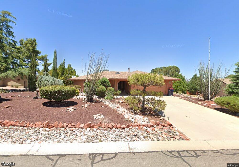
530 Everett Ln Clarkdale, AZ 86324
Estimated Value: $392,652 - $511,000
3
Beds
--
Bath
1,698
Sq Ft
$275/Sq Ft
Est. Value
About This Home
This home is located at 530 Everett Ln, Clarkdale, AZ 86324 and is currently estimated at $466,663, approximately $274 per square foot. 530 Everett Ln is a home located in Yavapai County with nearby schools including Cottonwood Elementary School, Dr Daniel Bright Elementary School, and Cottonwood Community School.
Ownership History
Date
Name
Owned For
Owner Type
Purchase Details
Closed on
Aug 26, 2004
Sold by
Lay Michael R and Lay Scott C
Bought by
Bendele Christine L
Current Estimated Value
Home Financials for this Owner
Home Financials are based on the most recent Mortgage that was taken out on this home.
Original Mortgage
$168,750
Outstanding Balance
$83,937
Interest Rate
5.94%
Mortgage Type
New Conventional
Estimated Equity
$382,726
Create a Home Valuation Report for This Property
The Home Valuation Report is an in-depth analysis detailing your home's value as well as a comparison with similar homes in the area
Home Values in the Area
Average Home Value in this Area
Purchase History
| Date | Buyer | Sale Price | Title Company |
|---|---|---|---|
| Bendele Christine L | $225,000 | First American Title Ins Co |
Source: Public Records
Mortgage History
| Date | Status | Borrower | Loan Amount |
|---|---|---|---|
| Open | Bendele Christine L | $168,750 | |
| Closed | Bendele Christine L | $33,750 |
Source: Public Records
Tax History Compared to Growth
Tax History
| Year | Tax Paid | Tax Assessment Tax Assessment Total Assessment is a certain percentage of the fair market value that is determined by local assessors to be the total taxable value of land and additions on the property. | Land | Improvement |
|---|---|---|---|---|
| 2026 | $1,872 | $30,464 | -- | -- |
| 2024 | $1,898 | $29,997 | -- | -- |
| 2023 | $1,898 | $23,634 | $4,842 | $18,792 |
| 2022 | $1,962 | $3,899 | $3,899 | $0 |
| 2021 | $2,137 | $18,939 | $3,945 | $14,994 |
| 2020 | $2,203 | $0 | $0 | $0 |
| 2019 | $2,162 | $0 | $0 | $0 |
| 2018 | $2,077 | $0 | $0 | $0 |
| 2017 | $1,987 | $0 | $0 | $0 |
| 2016 | $1,941 | $0 | $0 | $0 |
| 2015 | $1,910 | $0 | $0 | $0 |
| 2014 | -- | $0 | $0 | $0 |
Source: Public Records
Map
Nearby Homes
- 2101 Canyon Dr
- 421 Casner Dr
- 621 Skyline Blvd Unit 48
- 661 Skyline Blvd Unit 44
- 671 Skyline Blvd Unit 43
- 661 Shadow Canyon Dr
- 1941 Sable Ridge Rd Unit 156
- 240 Rogers Place
- 1985 Roadrunner Ct
- 641 Pine Ridge Rd Unit 159
- 440 Skyline Blvd
- 222 Rogers Place
- 1941 Crossroads Blvd
- 1780 Buena Vista Dr
- 1830 W Trail Blazer Dr
- 235 S Cowboy Way
- 1910 W Trail Blazer Dr
- 1869 W Trail Blazer Dr
- Xxxx Xxxx --
- 1545 Chateau Dr