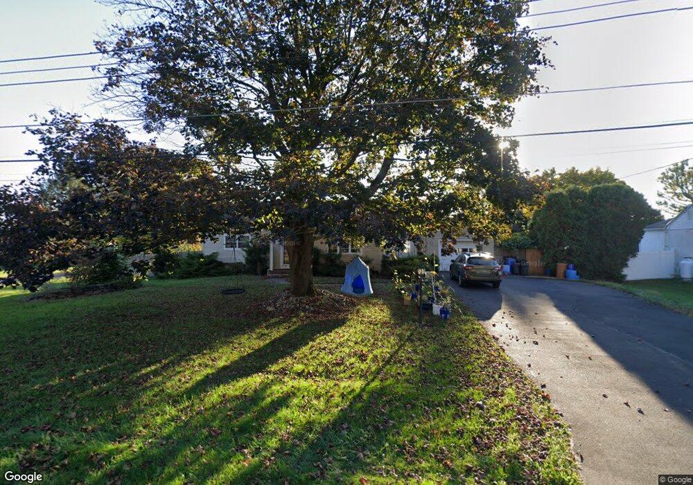
530 Harding Ave Langhorne, PA 19047
Estimated Value: $450,000 - $486,000
3
Beds
3
Baths
1,991
Sq Ft
$236/Sq Ft
Est. Value
About This Home
This home is located at 530 Harding Ave, Langhorne, PA 19047 and is currently estimated at $469,066, approximately $235 per square foot. 530 Harding Ave is a home located in Bucks County with nearby schools including Hoover Elementary School, Maple Point Middle School, and Neshaminy High School.
Ownership History
Date
Name
Owned For
Owner Type
Purchase Details
Closed on
Jul 2, 1999
Sold by
Reid John K and Reid Patricia R
Bought by
Rogowyi Jerry and Rogowyi Brenda
Current Estimated Value
Home Financials for this Owner
Home Financials are based on the most recent Mortgage that was taken out on this home.
Original Mortgage
$108,000
Interest Rate
6.81%
Purchase Details
Closed on
Apr 23, 1992
Bought by
Reid John K and Reid Patricia R
Create a Home Valuation Report for This Property
The Home Valuation Report is an in-depth analysis detailing your home's value as well as a comparison with similar homes in the area
Home Values in the Area
Average Home Value in this Area
Purchase History
| Date | Buyer | Sale Price | Title Company |
|---|---|---|---|
| Rogowyi Jerry | $135,000 | T A Title Insurance Company | |
| Reid John K | -- | -- |
Source: Public Records
Mortgage History
| Date | Status | Borrower | Loan Amount |
|---|---|---|---|
| Closed | Rogowyi Jerry | $108,000 |
Source: Public Records
Tax History Compared to Growth
Tax History
| Year | Tax Paid | Tax Assessment Tax Assessment Total Assessment is a certain percentage of the fair market value that is determined by local assessors to be the total taxable value of land and additions on the property. | Land | Improvement |
|---|---|---|---|---|
| 2025 | $5,462 | $25,090 | $4,800 | $20,290 |
| 2024 | $5,462 | $25,090 | $4,800 | $20,290 |
| 2023 | $5,376 | $25,090 | $4,800 | $20,290 |
| 2022 | $5,234 | $25,090 | $4,800 | $20,290 |
| 2021 | $5,234 | $25,090 | $4,800 | $20,290 |
| 2020 | $5,172 | $25,090 | $4,800 | $20,290 |
| 2019 | $5,056 | $25,090 | $4,800 | $20,290 |
| 2018 | $4,963 | $25,090 | $4,800 | $20,290 |
| 2017 | $4,837 | $25,090 | $4,800 | $20,290 |
| 2016 | $4,837 | $25,090 | $4,800 | $20,290 |
| 2015 | $5,026 | $25,090 | $4,800 | $20,290 |
| 2014 | $5,026 | $25,090 | $4,800 | $20,290 |
Source: Public Records
Map
Nearby Homes
- 524 Washington Ave
- 0 Main St
- 301 Main St
- 0 Durham Rd
- 164 Trenton Rd
- 927 Bellevue Ave
- L:070 Trenton Rd
- 0 Fir Ave
- 11 Dolphin Rd
- 301 Snowball Dr
- 154 Juniper Dr
- 94 Juniper Dr
- 5813 Edge Ave
- 283 Snowball Dr
- 35 Parkside Cir
- L:003 Newportville Rd
- 2548 Nashua Rd
- 38 Plumtree Rd
- 1018 Wildwood Ave
- 2718 Avenue C
- 506 Harding Ave
- 531 Mckinley St
- 433 Wesley Ave
- 505 Mckinley St
- 529 Harding Ave
- 517 Harding Ave
- 513 Reetz Ave
- 537 Harding Ave
- 555 Mckinley St
- 350 Harding Ave
- 463 Mckinley St
- 510 Mckinley St
- 533 Reetz Ave
- 533 Wesley Ave
- 310 Wesley Ave
- 310 Reetz Ave
- 649 Harding Ave
- 652 Harding Ave
- 444 Harding Ave
- 639 Mckinley St