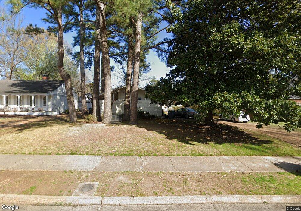
530 Kinsman Rd Memphis, TN 38120
Audubon Park NeighborhoodEstimated Value: $382,707 - $421,000
4
Beds
2
Baths
2,366
Sq Ft
$168/Sq Ft
Est. Value
About This Home
This home is located at 530 Kinsman Rd, Memphis, TN 38120 and is currently estimated at $398,427, approximately $168 per square foot. 530 Kinsman Rd is a home located in Shelby County with nearby schools including White Station Elementary School, White Station Middle, and White Station High.
Ownership History
Date
Name
Owned For
Owner Type
Purchase Details
Closed on
Jul 5, 1996
Sold by
Neilson Elizabeth N
Bought by
Palazola Charles L and Palazola Anna J
Current Estimated Value
Home Financials for this Owner
Home Financials are based on the most recent Mortgage that was taken out on this home.
Original Mortgage
$114,500
Outstanding Balance
$8,094
Interest Rate
7.99%
Estimated Equity
$390,333
Create a Home Valuation Report for This Property
The Home Valuation Report is an in-depth analysis detailing your home's value as well as a comparison with similar homes in the area
Home Values in the Area
Average Home Value in this Area
Purchase History
| Date | Buyer | Sale Price | Title Company |
|---|---|---|---|
| Palazola Charles L | $149,500 | -- |
Source: Public Records
Mortgage History
| Date | Status | Borrower | Loan Amount |
|---|---|---|---|
| Open | Palazola Charles L | $114,500 |
Source: Public Records
Tax History Compared to Growth
Tax History
| Year | Tax Paid | Tax Assessment Tax Assessment Total Assessment is a certain percentage of the fair market value that is determined by local assessors to be the total taxable value of land and additions on the property. | Land | Improvement |
|---|---|---|---|---|
| 2025 | $2,718 | $91,925 | $20,825 | $71,100 |
| 2024 | $2,718 | $80,175 | $20,825 | $59,350 |
| 2023 | $4,884 | $80,175 | $20,825 | $59,350 |
| 2022 | $4,884 | $80,175 | $20,825 | $59,350 |
| 2021 | $4,941 | $80,175 | $20,825 | $59,350 |
| 2020 | $4,556 | $62,875 | $20,825 | $42,050 |
| 2019 | $4,556 | $62,875 | $20,825 | $42,050 |
| 2018 | $4,556 | $62,875 | $20,825 | $42,050 |
| 2017 | $2,584 | $62,875 | $20,825 | $42,050 |
| 2016 | $2,797 | $64,000 | $0 | $0 |
| 2014 | $2,797 | $64,000 | $0 | $0 |
Source: Public Records
Map
Nearby Homes
- 5483 Brantford Ave
- 5478 Brantford Ave
- 5491 Crescent Ln
- 415 S Yates Rd
- 5587 Ashley Square S
- 5484 Spainwood Ave
- 5329 Laurie Ln
- 5305 Brantford Ave
- 320 S Yates Rd
- 696 Spainwood Cove
- 321 Shady Woods Cove
- 5680 Herald Square
- 5467 Collingwood Cove
- 5481 Valleybrook Cove
- 704 W Clover Dr
- 5280 Cole Rd
- 591 Lexington Club Ct Unit 201
- 5516 Sycamore Grove Ln
- 345 S White Station Rd
- 478 W Racquet Club Place