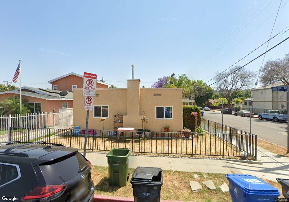
5300 Lincoln Ave Los Angeles, CA 90042
Estimated Value: $1,249,170 - $1,412,000
4
Beds
2
Baths
1,950
Sq Ft
$674/Sq Ft
Est. Value
About This Home
This home is located at 5300 Lincoln Ave, Los Angeles, CA 90042 and is currently estimated at $1,314,043, approximately $673 per square foot. 5300 Lincoln Ave is a home located in Los Angeles County with nearby schools including Buchanan Street Elementary, Benjamin Franklin High School, and Luther Burbank Middle School.
Ownership History
Date
Name
Owned For
Owner Type
Purchase Details
Closed on
Mar 16, 2023
Sold by
Montenegro Bernardo and Montenegro Carola
Bought by
Living Trust and Montenegro
Current Estimated Value
Purchase Details
Closed on
Nov 15, 2002
Sold by
Montenegro Bernardo and Montenegro Maria E
Bought by
Montenegro Bernardo
Purchase Details
Closed on
Feb 21, 1996
Sold by
Tenegro Bernardo Mon and Montenegro Carola
Bought by
Montenegro Bernardo and Montenegro Maria E
Create a Home Valuation Report for This Property
The Home Valuation Report is an in-depth analysis detailing your home's value as well as a comparison with similar homes in the area
Home Values in the Area
Average Home Value in this Area
Purchase History
| Date | Buyer | Sale Price | Title Company |
|---|---|---|---|
| Living Trust | -- | None Listed On Document | |
| Montenegro Bernardo | -- | -- | |
| Montenegro Bernardo | -- | -- |
Source: Public Records
Tax History Compared to Growth
Tax History
| Year | Tax Paid | Tax Assessment Tax Assessment Total Assessment is a certain percentage of the fair market value that is determined by local assessors to be the total taxable value of land and additions on the property. | Land | Improvement |
|---|---|---|---|---|
| 2025 | $2,620 | $197,345 | $103,576 | $93,769 |
| 2024 | $2,620 | $193,477 | $101,546 | $91,931 |
| 2023 | $2,574 | $189,684 | $99,555 | $90,129 |
| 2022 | $2,460 | $185,965 | $97,603 | $88,362 |
| 2021 | $2,421 | $182,320 | $95,690 | $86,630 |
| 2019 | $2,352 | $176,913 | $92,852 | $84,061 |
| 2018 | $2,265 | $173,445 | $91,032 | $82,413 |
| 2016 | $2,145 | $166,713 | $87,499 | $79,214 |
| 2015 | $2,115 | $164,210 | $86,185 | $78,025 |
| 2014 | $2,131 | $160,994 | $84,497 | $76,497 |
Source: Public Records
Map
Nearby Homes
- 829 N Avenue 53
- 5125 Buchanan St
- 5252 Range View Ave
- 5318 Irvington Place
- 5055 Hub St
- 917 N Avenue 51
- 5670 Hub St
- 1037 N Avenue 50
- 1480 N Avenue 57
- 1476 N Avenue 57
- 1048 Dexter St
- 1113 N Avenue 50
- 1815 Nolden St
- 1813 N Avenue 53
- 1800 N Avenue 55
- 459 Holland Ave
- 1813 N Avenue 55
- 4925 Buchanan St
- 5711 Stratford Rd
- 865 N Avenue 50
- 5306 Lincoln Ave
- 5310 Lincoln Ave
- 5314 Lincoln Ave
- 5301 Buchanan St
- 5305 Buchanan St
- 5311 Buchanan St
- 5318 Lincoln Ave
- 5257 Buchanan St
- 5315 Buchanan St
- 5307 Lincoln Ave
- 5309 Lincoln Ave
- 5319 Buchanan St
- 5313 Lincoln Ave
- 5246 Lincoln Ave
- 5315 Lincoln Ave
- 5323 Buchanan St
- 5326 Lincoln Ave
- 5319 Lincoln Ave
- 5245 Buchanan St
- 5242 Lincoln Ave