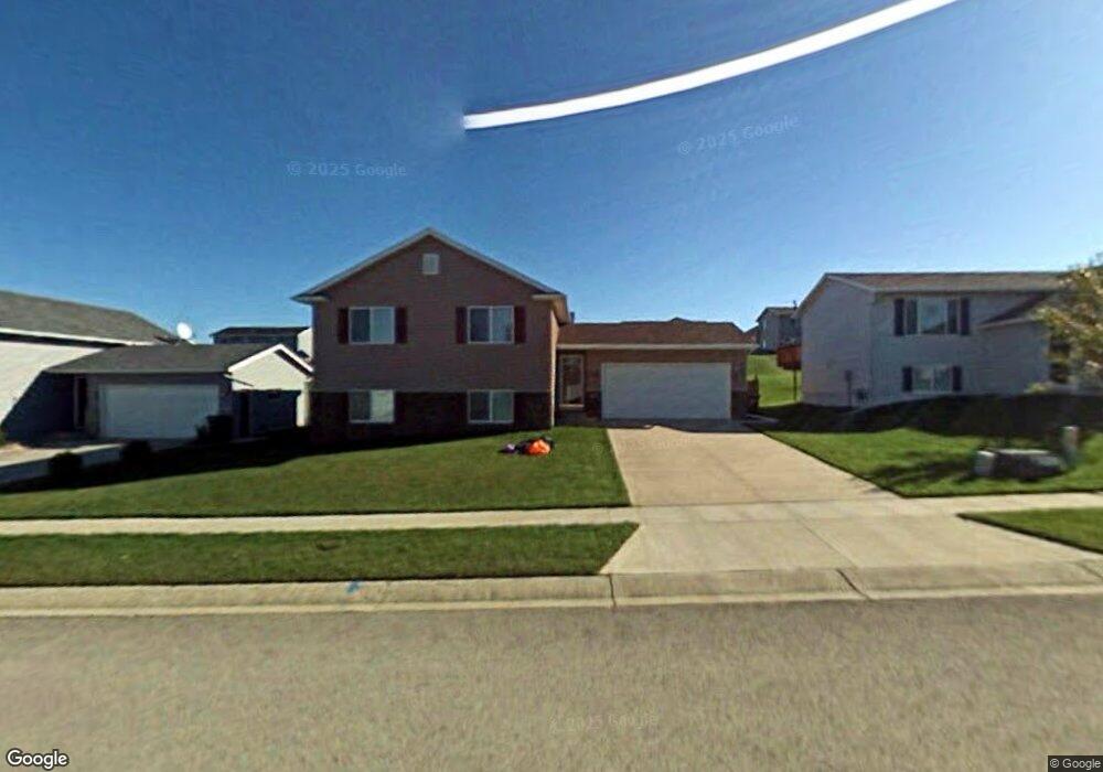
5310 King Arthur Dr NW Rochester, MN 55901
Estimated Value: $360,000 - $371,269
4
Beds
2
Baths
2,048
Sq Ft
$179/Sq Ft
Est. Value
About This Home
This home is located at 5310 King Arthur Dr NW, Rochester, MN 55901 and is currently estimated at $367,067, approximately $179 per square foot. 5310 King Arthur Dr NW is a home located in Olmsted County with nearby schools including George W. Gibbs Elementary School, John Marshall Senior High School, and Rochester Beacon Academy.
Ownership History
Date
Name
Owned For
Owner Type
Purchase Details
Closed on
May 11, 2015
Sold by
Langsdale Matthew J and Langsdale Jaime Lea M
Bought by
Fitcher Sprow Robyn and Sprow Shawn
Current Estimated Value
Home Financials for this Owner
Home Financials are based on the most recent Mortgage that was taken out on this home.
Original Mortgage
$174,100
Outstanding Balance
$133,926
Interest Rate
3.64%
Mortgage Type
New Conventional
Estimated Equity
$233,141
Purchase Details
Closed on
Jul 15, 2005
Sold by
Berry Jonathan C and Berry Jessica L
Bought by
Langsdale Matthew J and Langsdale Jaime Lea M
Home Financials for this Owner
Home Financials are based on the most recent Mortgage that was taken out on this home.
Original Mortgage
$132,800
Interest Rate
5.37%
Mortgage Type
New Conventional
Create a Home Valuation Report for This Property
The Home Valuation Report is an in-depth analysis detailing your home's value as well as a comparison with similar homes in the area
Home Values in the Area
Average Home Value in this Area
Purchase History
| Date | Buyer | Sale Price | Title Company |
|---|---|---|---|
| Fitcher Sprow Robyn | $193,500 | Rochester Title & Escrow Co | |
| Langsdale Matthew J | $166,000 | None Available |
Source: Public Records
Mortgage History
| Date | Status | Borrower | Loan Amount |
|---|---|---|---|
| Open | Fitcher Sprow Robyn | $174,100 | |
| Previous Owner | Langsdale Matthew J | $132,800 |
Source: Public Records
Tax History Compared to Growth
Tax History
| Year | Tax Paid | Tax Assessment Tax Assessment Total Assessment is a certain percentage of the fair market value that is determined by local assessors to be the total taxable value of land and additions on the property. | Land | Improvement |
|---|---|---|---|---|
| 2024 | $4,290 | $321,200 | $60,000 | $261,200 |
| 2023 | $3,946 | $320,600 | $60,000 | $260,600 |
| 2022 | $3,142 | $282,200 | $40,000 | $242,200 |
| 2021 | $3,050 | $241,800 | $40,000 | $201,800 |
| 2020 | $3,134 | $235,200 | $40,000 | $195,200 |
| 2019 | $2,810 | $232,200 | $40,000 | $192,200 |
| 2018 | $2,533 | $212,000 | $40,000 | $172,000 |
| 2017 | $2,438 | $199,000 | $40,000 | $159,000 |
| 2016 | $2,290 | $163,800 | $35,500 | $128,300 |
| 2015 | $2,162 | $150,300 | $34,900 | $115,400 |
| 2014 | $2,060 | $151,900 | $35,000 | $116,900 |
| 2012 | -- | $147,800 | $34,817 | $112,983 |
Source: Public Records
Map
Nearby Homes
- 5386 King Arthur Dr NW
- 5350 King Arthur Dr NW
- 5368 King Arthur Dr NW
- 5307 55th Ave NW
- 5817 Lloyd St NW
- Townhome 2 Plan at Harvest West
- Townhome 3 Plan at Harvest West
- Townhome 4 Plan at Harvest West
- Townhome 1 Plan at Harvest West
- 5307 54th Ave NW
- 5519 Sundown Place NW
- 5569 Harrow Ln NW
- 5523 Sundown Place NW
- 5515 Sundown Place NW
- 5425 Queens Dr NW
- 5419 Queens Dr NW
- 5413 Queens Dr NW
- 5407 Queens Dr NW
- 6019 51st St NW
- 4929 Castleview Dr NW
- 5294 King Arthur Dr NW
- 5326 King Arthur Dr NW
- 5278 King Arthur Dr NW
- 5342 King Arthur Dr NW
- 5315 Kingsbury Place NW
- 5299 Kingsbury Place NW
- 5331 Kingsbury Place NW
- 5283 Kingsbury Place NW
- 5262 King Arthur Dr NW
- 5347 Kingsbury Place NW
- 5313 King Arthur Dr NW
- 5358 King Arthur Dr NW
- 5297 King Arthur Dr NW
- 5329 King Arthur Dr NW
- 5267 Kingsbury Place NW
- 5281 King Arthur Dr NW
- 5363 Kingsbury Place NW
- 5246 King Arthur Dr NW
- 5374 King Arthur Dr NW
- 5265 King Arthur Dr NW