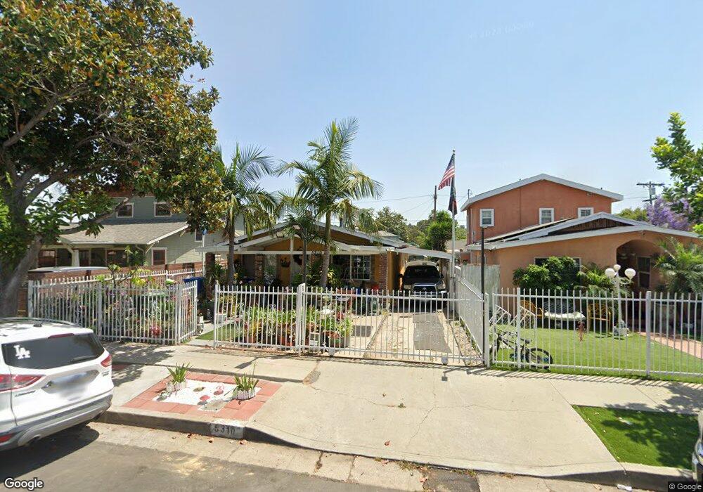
5310 Lincoln Ave Los Angeles, CA 90042
Estimated Value: $990,000 - $1,425,000
3
Beds
3
Baths
1,606
Sq Ft
$772/Sq Ft
Est. Value
About This Home
This home is located at 5310 Lincoln Ave, Los Angeles, CA 90042 and is currently estimated at $1,239,132, approximately $771 per square foot. 5310 Lincoln Ave is a home located in Los Angeles County with nearby schools including Buchanan Street Elementary, Benjamin Franklin High School, and Luther Burbank Middle School.
Ownership History
Date
Name
Owned For
Owner Type
Purchase Details
Closed on
Feb 13, 1996
Sold by
Garcia Luciano
Bought by
Gonzalez Fernando and Gonzalez Edith
Current Estimated Value
Purchase Details
Closed on
Sep 26, 1995
Sold by
Valenzuela Rodolfo and Valenzuela Telesfora
Bought by
Gonzalez Fernando and Gonzalez Edith
Home Financials for this Owner
Home Financials are based on the most recent Mortgage that was taken out on this home.
Original Mortgage
$133,200
Interest Rate
7.58%
Create a Home Valuation Report for This Property
The Home Valuation Report is an in-depth analysis detailing your home's value as well as a comparison with similar homes in the area
Home Values in the Area
Average Home Value in this Area
Purchase History
| Date | Buyer | Sale Price | Title Company |
|---|---|---|---|
| Gonzalez Fernando | -- | -- | |
| Gonzalez Fernando | $148,000 | American Coast Title |
Source: Public Records
Mortgage History
| Date | Status | Borrower | Loan Amount |
|---|---|---|---|
| Previous Owner | Gonzalez Fernando | $133,200 |
Source: Public Records
Tax History Compared to Growth
Tax History
| Year | Tax Paid | Tax Assessment Tax Assessment Total Assessment is a certain percentage of the fair market value that is determined by local assessors to be the total taxable value of land and additions on the property. | Land | Improvement |
|---|---|---|---|---|
| 2025 | $3,768 | $295,600 | $132,221 | $163,379 |
| 2024 | $3,768 | $289,805 | $129,629 | $160,176 |
| 2023 | $3,699 | $284,124 | $127,088 | $157,036 |
| 2022 | $3,531 | $278,554 | $124,597 | $153,957 |
| 2021 | $3,482 | $273,093 | $122,154 | $150,939 |
| 2019 | $3,381 | $264,995 | $118,532 | $146,463 |
| 2018 | $3,278 | $259,800 | $116,208 | $143,592 |
| 2016 | $3,119 | $249,714 | $111,697 | $138,017 |
| 2015 | $3,075 | $245,964 | $110,020 | $135,944 |
| 2014 | $3,093 | $241,147 | $107,865 | $133,282 |
Source: Public Records
Map
Nearby Homes
- 829 N Avenue 53
- 5125 Buchanan St
- 5252 Range View Ave
- 5318 Irvington Place
- 5055 Hub St
- 5670 Hub St
- 1480 N Avenue 57
- 1476 N Avenue 57
- 917 N Avenue 51
- 1037 N Avenue 50
- 1815 Nolden St
- 1813 N Avenue 53
- 1048 Dexter St
- 1113 N Avenue 50
- 1800 N Avenue 55
- 459 Holland Ave
- 1813 N Avenue 55
- 4925 Buchanan St
- 5711 Stratford Rd
- 5412 Abbott Place
- 5314 Lincoln Ave
- 5306 Lincoln Ave
- 5318 Lincoln Ave
- 5300 Lincoln Ave
- 5311 Buchanan St
- 5305 Buchanan St
- 5315 Buchanan St
- 5301 Buchanan St
- 5319 Buchanan St
- 5326 Lincoln Ave
- 5323 Buchanan St
- 5313 Lincoln Ave
- 5309 Lincoln Ave
- 5315 Lincoln Ave
- 5325 Buchanan St
- 5319 Lincoln Ave
- 5307 Lincoln Ave
- 5328 Lincoln Ave
- 5321 Lincoln Ave
- 5257 Buchanan St