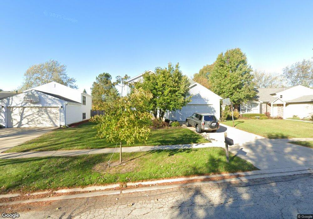
532 Caren Dr Buffalo Grove, IL 60089
Estimated Value: $547,000 - $595,000
--
Bed
3
Baths
2,496
Sq Ft
$229/Sq Ft
Est. Value
About This Home
This home is located at 532 Caren Dr, Buffalo Grove, IL 60089 and is currently estimated at $572,018, approximately $229 per square foot. 532 Caren Dr is a home located in Lake County with nearby schools including Prairie Elementary School, Twin Groves Middle School, and Adlai E Stevenson High School.
Ownership History
Date
Name
Owned For
Owner Type
Purchase Details
Closed on
Dec 18, 1996
Sold by
Pan Davis
Bought by
Hill Evan A and Hill Marla
Current Estimated Value
Home Financials for this Owner
Home Financials are based on the most recent Mortgage that was taken out on this home.
Original Mortgage
$170,000
Interest Rate
7.2%
Purchase Details
Closed on
Jun 9, 1995
Sold by
Danner Evanston T and Danner Lisa J
Bought by
Pan Davis
Home Financials for this Owner
Home Financials are based on the most recent Mortgage that was taken out on this home.
Original Mortgage
$180,000
Interest Rate
8.26%
Create a Home Valuation Report for This Property
The Home Valuation Report is an in-depth analysis detailing your home's value as well as a comparison with similar homes in the area
Home Values in the Area
Average Home Value in this Area
Purchase History
| Date | Buyer | Sale Price | Title Company |
|---|---|---|---|
| Hill Evan A | $216,500 | -- | |
| Pan Davis | $230,000 | -- |
Source: Public Records
Mortgage History
| Date | Status | Borrower | Loan Amount |
|---|---|---|---|
| Previous Owner | Hill Evan A | $170,000 | |
| Previous Owner | Pan Davis | $180,000 |
Source: Public Records
Tax History Compared to Growth
Tax History
| Year | Tax Paid | Tax Assessment Tax Assessment Total Assessment is a certain percentage of the fair market value that is determined by local assessors to be the total taxable value of land and additions on the property. | Land | Improvement |
|---|---|---|---|---|
| 2024 | $13,818 | $158,809 | $37,346 | $121,463 |
| 2023 | $12,729 | $142,712 | $33,561 | $109,151 |
| 2022 | $12,729 | $128,070 | $30,118 | $97,952 |
| 2021 | $12,246 | $126,689 | $29,793 | $96,896 |
| 2020 | $11,958 | $127,122 | $29,895 | $97,227 |
| 2019 | $11,793 | $126,654 | $29,785 | $96,869 |
| 2018 | $11,826 | $134,843 | $29,436 | $105,407 |
| 2017 | $11,974 | $131,696 | $28,749 | $102,947 |
| 2016 | $11,662 | $126,109 | $27,529 | $98,580 |
| 2015 | $11,354 | $117,936 | $25,745 | $92,191 |
| 2014 | $10,624 | $109,231 | $27,651 | $81,580 |
| 2012 | $10,544 | $109,449 | $27,706 | $81,743 |
Source: Public Records
Map
Nearby Homes
- 531 Lasalle Ln
- 538 Lasalle Ct
- 327 Lasalle Ln
- 1286 Gail Dr
- 1118 Larraway Dr
- 555 Coventry Ln
- 1265 Devonshire Rd
- 1903 Sheridan Rd
- 1901 Brandywyn Ln
- 1113 Lockwood Dr
- 896 Chaucer Way Unit 2
- 1272 Sandhurst Dr
- 1141 Devonshire Rd
- 15 Thompson Ct
- 268 Hoffmann Dr
- 1265 Ranchview Ct
- 931 Shady Grove Ln
- 938 Hidden Lake Dr
- 333 Didier Ct
- 871 Shady Grove Ln