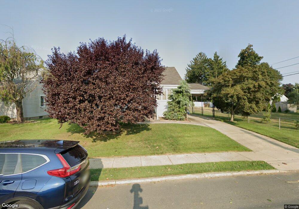
532 Gropp Ave Trenton, NJ 08610
Estimated Value: $312,094 - $440,000
--
Bed
--
Bath
1,201
Sq Ft
$322/Sq Ft
Est. Value
About This Home
This home is located at 532 Gropp Ave, Trenton, NJ 08610 and is currently estimated at $386,274, approximately $321 per square foot. 532 Gropp Ave is a home with nearby schools including Robinson Elementary School, Albert E. Grice Middle School, and Hamilton West-Watson High School.
Ownership History
Date
Name
Owned For
Owner Type
Purchase Details
Closed on
May 30, 2013
Sold by
Robbins Anna
Bought by
Shevchuk William and Shevchuk Karen D
Current Estimated Value
Purchase Details
Closed on
May 17, 2013
Sold by
Mount Alena
Bought by
Shevchuk William and Shevchuk Karen D
Purchase Details
Closed on
May 16, 2013
Sold by
Shevchuk Natalie
Bought by
Shevchuk William and Shevchuk Karen D
Purchase Details
Closed on
May 8, 2013
Sold by
Anna Elena D
Bought by
Shevchuk William and Shevchuk Karen D
Purchase Details
Closed on
May 3, 2013
Sold by
Shevchuk Peter
Bought by
Shevchuk William and Shevchuk Karen D
Create a Home Valuation Report for This Property
The Home Valuation Report is an in-depth analysis detailing your home's value as well as a comparison with similar homes in the area
Home Values in the Area
Average Home Value in this Area
Purchase History
| Date | Buyer | Sale Price | Title Company |
|---|---|---|---|
| Shevchuk William | $30,000 | None Available | |
| Shevchuk William | $30,000 | None Available | |
| Shevchuk William | -- | None Available | |
| Shevchuk William | -- | None Available | |
| Shevchuk William | -- | None Available |
Source: Public Records
Tax History Compared to Growth
Tax History
| Year | Tax Paid | Tax Assessment Tax Assessment Total Assessment is a certain percentage of the fair market value that is determined by local assessors to be the total taxable value of land and additions on the property. | Land | Improvement |
|---|---|---|---|---|
| 2025 | $6,424 | $182,300 | $57,700 | $124,600 |
| 2024 | $6,021 | $182,300 | $57,700 | $124,600 |
| 2023 | $6,021 | $182,300 | $57,700 | $124,600 |
| 2022 | $5,927 | $182,300 | $57,700 | $124,600 |
| 2021 | $6,368 | $182,300 | $57,700 | $124,600 |
| 2020 | $5,711 | $182,300 | $57,700 | $124,600 |
| 2019 | $5,588 | $182,300 | $57,700 | $124,600 |
| 2018 | $5,538 | $182,300 | $57,700 | $124,600 |
| 2017 | $5,400 | $182,300 | $57,700 | $124,600 |
| 2016 | $4,929 | $182,300 | $57,700 | $124,600 |
| 2015 | $5,627 | $121,300 | $38,000 | $83,300 |
| 2014 | $5,532 | $121,300 | $38,000 | $83,300 |
Source: Public Records
Map
Nearby Homes
- 6 Wilbert Way
- 5 Sandy Ln
- 19 Wolf Dr
- 2 Godfrey Dr
- 22 Wolf Dr
- 153 Knapp Ave
- 376 White Horse Ave
- 868 White Horse Hamilton Square Rd
- 72 Englewood Blvd
- 250 Lacy Ave
- 44 Tantum Dr
- 9 Ann Marie Dr
- 15 Ashwood Rd
- 19 Copperfield Dr
- 74 Taft Ave
- 1782 Orchard Ave
- 147 Hempstead Rd
- 1782 Exton Ave
- 15 Marlow Ct
- 27 Olden Terrace