532 Taft Pond Rd Pomfret Center, CT 06259
Estimated Value: $585,000 - $705,000
2
Beds
3
Baths
2,701
Sq Ft
$238/Sq Ft
Est. Value
About This Home
This home is located at 532 Taft Pond Rd, Pomfret Center, CT 06259 and is currently estimated at $642,479, approximately $237 per square foot. 532 Taft Pond Rd is a home located in Windham County with nearby schools including Pomfret Community School and Rectory School.
Ownership History
Date
Name
Owned For
Owner Type
Purchase Details
Closed on
Oct 10, 2019
Sold by
Skarani Arlene M and Skarani Christopher M
Bought by
Skarani Christopher M
Current Estimated Value
Purchase Details
Closed on
May 16, 2013
Sold by
Skarini Arlene M and Skarini Christopher M
Bought by
Skarini Christopher M
Purchase Details
Closed on
Dec 8, 2009
Sold by
Skarani Arlene M
Bought by
Skarani Arlene M and Skarani Christopher Mar
Purchase Details
Closed on
Aug 19, 1975
Bought by
Skarani Christopher M
Create a Home Valuation Report for This Property
The Home Valuation Report is an in-depth analysis detailing your home's value as well as a comparison with similar homes in the area
Home Values in the Area
Average Home Value in this Area
Purchase History
| Date | Buyer | Sale Price | Title Company |
|---|---|---|---|
| Skarani Christopher M | -- | -- | |
| Skarini Christopher M | -- | -- | |
| Skarani Arlene M | -- | -- | |
| Skarani Christopher M | -- | -- |
Source: Public Records
Mortgage History
| Date | Status | Borrower | Loan Amount |
|---|---|---|---|
| Previous Owner | Skarani Christopher M | $20,000 | |
| Previous Owner | Skarani Christopher M | $41,000 | |
| Previous Owner | Skarani Christopher M | $34,300 |
Source: Public Records
Tax History Compared to Growth
Tax History
| Year | Tax Paid | Tax Assessment Tax Assessment Total Assessment is a certain percentage of the fair market value that is determined by local assessors to be the total taxable value of land and additions on the property. | Land | Improvement |
|---|---|---|---|---|
| 2025 | $8,310 | $400,880 | $121,580 | $279,300 |
| 2024 | $11,458 | $260,980 | $118,580 | $142,400 |
| 2023 | $6,981 | $260,980 | $118,580 | $142,400 |
| 2022 | $6,979 | $260,980 | $118,580 | $142,400 |
| 2021 | $6,919 | $260,980 | $118,580 | $142,400 |
| 2020 | $6,731 | $243,710 | $112,210 | $131,500 |
| 2019 | $6,620 | $243,550 | $112,050 | $131,500 |
| 2018 | $6,551 | $243,550 | $112,050 | $131,500 |
| 2017 | $7,046 | $243,550 | $112,050 | $131,500 |
| 2016 | $6,235 | $243,550 | $112,050 | $131,500 |
| 2015 | $7,059 | $279,660 | $139,660 | $140,000 |
| 2014 | $7,028 | $279,660 | $139,660 | $140,000 |
Source: Public Records
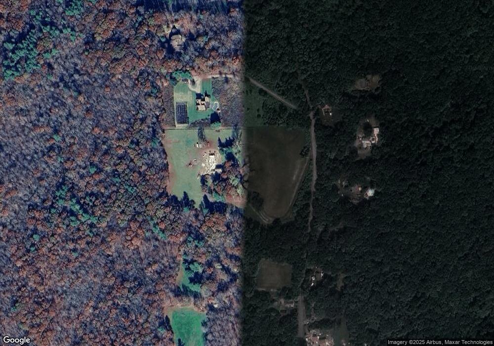
Map
Nearby Homes
- 698 Brayman Hollow Rd
- 140 Ragged Hill Rd
- 70 Brayman Hollow Rd
- 0 Boston Turnpike
- 86A County Rd
- 815 Mashamoquet Rd
- 00 Mashamoquet Rd
- 89 John Perry Rd
- 402 Perrin Rd
- 211 New Sweden Rd
- 29 General Lyon Rd
- 182 Baxter Rd
- 16 Pilfershire Rd
- 97 Blossom Dr
- 2 Hampton Rd
- 834 Hampton Rd
- 00 Pilfershire Rd
- 134 New Sweden Rd
- 96 Westford Rd
- 145 Perrin Rd
- 509 Taft Pond Rd
- 525 Taft Pond Rd
- 499 Taft Pond Rd
- 540 Taft Pond Rd
- 545 Taft Pond Rd
- 529 Taft Pond Rd
- 493 Taft Pond Rd
- 549 Taft Pond Rd
- 487 Taft Pond Rd
- 469 Taft Pond Rd
- 462 Taft Pond Rd
- 688 Brayman Hollow Rd
- 720 Brayman Hollow Rd
- 704 Brayman Hollow Rd
- 634 Brayman Hollow Rd
- 710 Brayman Hollow Rd
- 13 Ragged Hill Rd
- 722 Brayman Hollow Rd
- 633 Brayman Hollow Rd
- 734 Brayman Hollow Rd