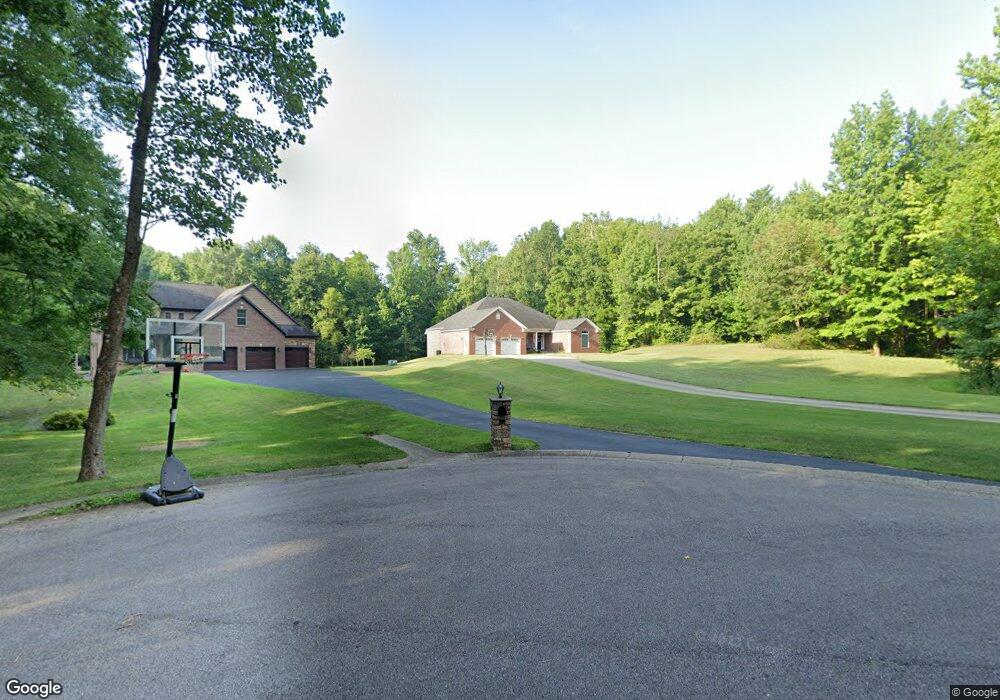
5320 Nunning Ct Evansville, IN 47712
Estimated Value: $382,000 - $521,201
4
Beds
4
Baths
2,335
Sq Ft
$195/Sq Ft
Est. Value
About This Home
This home is located at 5320 Nunning Ct, Evansville, IN 47712 and is currently estimated at $454,800, approximately $194 per square foot. 5320 Nunning Ct is a home with nearby schools including West Terrace Elementary School, Perry Heights Middle School, and Francis Joseph Reitz High School.
Ownership History
Date
Name
Owned For
Owner Type
Purchase Details
Closed on
Sep 5, 2014
Sold by
Shane Kyle M and Shane Stephanie R
Bought by
Riley Sean and Riley Malinda
Current Estimated Value
Home Financials for this Owner
Home Financials are based on the most recent Mortgage that was taken out on this home.
Original Mortgage
$36,000
Outstanding Balance
$24,278
Interest Rate
27.5%
Mortgage Type
New Conventional
Estimated Equity
$430,522
Create a Home Valuation Report for This Property
The Home Valuation Report is an in-depth analysis detailing your home's value as well as a comparison with similar homes in the area
Home Values in the Area
Average Home Value in this Area
Purchase History
| Date | Buyer | Sale Price | Title Company |
|---|---|---|---|
| Riley Sean | -- | -- |
Source: Public Records
Mortgage History
| Date | Status | Borrower | Loan Amount |
|---|---|---|---|
| Open | Riley Sean | $36,000 |
Source: Public Records
Tax History Compared to Growth
Tax History
| Year | Tax Paid | Tax Assessment Tax Assessment Total Assessment is a certain percentage of the fair market value that is determined by local assessors to be the total taxable value of land and additions on the property. | Land | Improvement |
|---|---|---|---|---|
| 2024 | $4,080 | $372,100 | $34,800 | $337,300 |
| 2023 | $3,895 | $364,200 | $34,800 | $329,400 |
| 2022 | $4,056 | $369,400 | $34,800 | $334,600 |
| 2021 | $3,861 | $345,200 | $34,800 | $310,400 |
| 2020 | $3,800 | $348,500 | $34,800 | $313,700 |
| 2019 | $3,775 | $348,500 | $34,800 | $313,700 |
| 2018 | $3,887 | $351,700 | $34,800 | $316,900 |
| 2017 | $3,852 | $346,400 | $34,800 | $311,600 |
| 2016 | $6,999 | $330,800 | $34,200 | $296,600 |
Source: Public Records
Map
Nearby Homes
- 5300 Hogue Rd
- 5633 Forest Ave
- 4619 Upper Mount Vernon Rd
- 733 Lydia Dr
- 741 Lydia Dr
- 214 S Bosse Ave
- 380 Sorenson Ave
- 5933 Krueger Ave
- 4723 Meadow Crest Ct
- 115 N Woods Ave
- 301 S Elm Ave
- 922 Forest Glen Dr
- 304 N Tekoppel Ave
- 4717 White Oak Ct
- 408 S Elm Ave
- 913 Sorenson Ave
- 6001 Felstead Rd
- 1210 Char Lee Dr
- 4800 Middle Mount Vernon Parcel #2 Rd
- 3400 Mount Vernon Ave
- 5304 Nunning Ct
- 211 Nunning Rd
- 5309 Nunning Ct
- 51 Nunning Rd
- 309 Nunning Rd
- 325 Norma Dr
- 325 Norma Dr
- 335 Nunning Rd
- 5408 Hogue Rd
- 120 N Red Bank Rd
- 5400 Dogwood Dr
- 5500 Dogwood Dr
- 405 Nunning Rd
- 5534 Hogue Rd
- 5506 Dogwood Dr
- 1 S Red Bank Rd
- 5510 Dogwood Dr
- 5528 Hogue Rd
- 5516 Hogue Rd
- 13 S Red Bank Rd