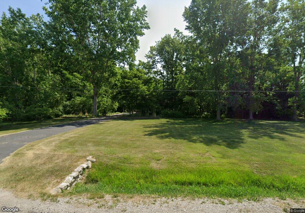
5325 Baxman Rd Bay City, MI 48706
Estimated Value: $418,000 - $618,247
4
Beds
3
Baths
3,777
Sq Ft
$142/Sq Ft
Est. Value
About This Home
This home is located at 5325 Baxman Rd, Bay City, MI 48706 and is currently estimated at $536,312, approximately $141 per square foot. 5325 Baxman Rd is a home located in Bay County with nearby schools including Mackensen Elementary School, Western Middle School, and Bay City Western High School.
Ownership History
Date
Name
Owned For
Owner Type
Purchase Details
Closed on
Aug 16, 2024
Sold by
Spence Matthew J and Spence Kristine K
Bought by
Spence Matthew J and Spence Kristine K
Current Estimated Value
Purchase Details
Closed on
Jun 25, 2019
Sold by
Spence Iv Matthew J and Spence Kristine K
Bought by
Spence Connor and Spence Eric
Purchase Details
Closed on
Jun 24, 2019
Sold by
Spence Iv Matthew J and Spence Kristine K
Bought by
Spence Connor and Spence Eric
Purchase Details
Closed on
Jun 20, 2002
Sold by
Metzler Sheryl A
Bought by
Spence Matthew J and Spence Kristine
Create a Home Valuation Report for This Property
The Home Valuation Report is an in-depth analysis detailing your home's value as well as a comparison with similar homes in the area
Home Values in the Area
Average Home Value in this Area
Purchase History
| Date | Buyer | Sale Price | Title Company |
|---|---|---|---|
| Spence Matthew J | -- | None Listed On Document | |
| Spence Connor | -- | None Listed On Document | |
| Spence Connor | -- | None Listed On Document | |
| Spence Matthew J | $550,000 | -- |
Source: Public Records
Tax History Compared to Growth
Tax History
| Year | Tax Paid | Tax Assessment Tax Assessment Total Assessment is a certain percentage of the fair market value that is determined by local assessors to be the total taxable value of land and additions on the property. | Land | Improvement |
|---|---|---|---|---|
| 2025 | $8,229 | $320,700 | $0 | $0 |
| 2024 | $3,452 | $320,600 | $0 | $0 |
| 2023 | $3,288 | $290,500 | $0 | $0 |
| 2022 | $7,496 | $231,900 | $0 | $0 |
| 2021 | $6,983 | $216,600 | $216,600 | $0 |
| 2020 | $6,874 | $221,900 | $221,900 | $0 |
| 2019 | $6,496 | $199,300 | $0 | $0 |
| 2018 | $6,445 | $198,800 | $0 | $0 |
| 2017 | $6,377 | $198,500 | $0 | $0 |
| 2016 | $8,236 | $263,700 | $0 | $263,700 |
| 2015 | $3,711 | $260,200 | $0 | $260,200 |
| 2014 | $3,711 | $249,700 | $0 | $249,700 |
Source: Public Records
Map
Nearby Homes
- 5115 Baxman Rd
- 2777 E Fisher Rd
- 2975 Continental Dr
- 5447 Kasemeyer Rd
- 5231 Parkway Dr
- 0 2 Mile Rd Unit 50169642
- 0 S Two Mile Rd Unit 50142051
- 3176 E Fisher Rd
- 4848 W Westgate Dr
- 3343 Parkway Dr
- 3340 Brentway Dr
- 0 Fisher Rd
- 39 E Salzburg Rd
- 4738 Maplewood Dr
- 5976 Red Feather Dr
- 3103 E Midland Rd
- 5985 Red Feather Dr
- 1232 S Mountain St
- 1901 S Mountain St
- 4700 Foxcroft Dr
- 5295 Baxman Rd
- 5295 Baxman Rd
- 5275 Baxman Rd
- 5369 Baxman Rd
- 5370 Baxman Rd
- 5377 Baxman Rd
- 2783 Security Ln
- 2773 Security Ln
- 2805 Security Ln
- 5398 Baxman Rd
- 5399 Baxman Rd
- 5370 Harvest Ct
- 2815 Security Ln
- 2819 Security Ln
- 5400 Baxman Rd
- 2711 Royal Oak Dr
- 5380 Harvest Ct
- 2823 Security Ln
- 5389 Elmview Dr
- 2833 Security Ln