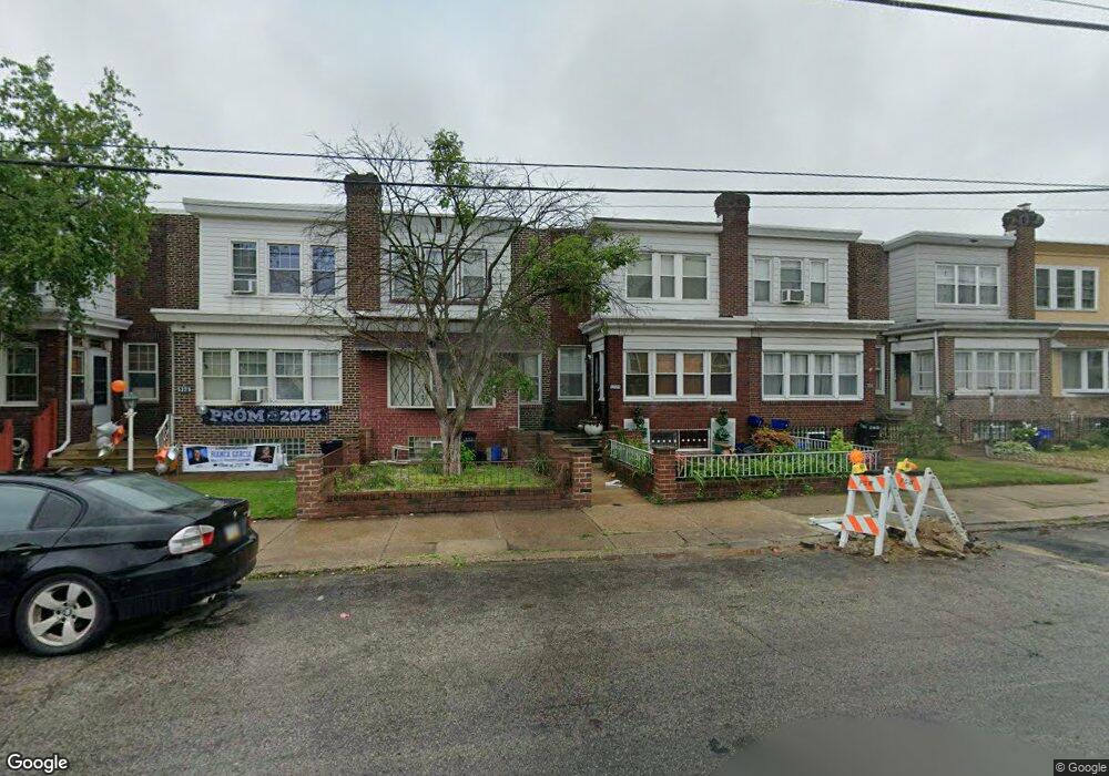
5325 Horrocks St Philadelphia, PA 19124
Frankford NeighborhoodEstimated Value: $194,000 - $225,000
3
Beds
1
Bath
1,324
Sq Ft
$161/Sq Ft
Est. Value
About This Home
This home is located at 5325 Horrocks St, Philadelphia, PA 19124 and is currently estimated at $213,037, approximately $160 per square foot. 5325 Horrocks St is a home located in Philadelphia County with nearby schools including Frankford High School, The Philadelphia Charter School for the Arts & Sciences, and Mastery Schools Smedley Elementary.
Ownership History
Date
Name
Owned For
Owner Type
Purchase Details
Closed on
Sep 30, 2005
Sold by
Zimmaro Adeline F and Zimmaro Edward
Bought by
Irving Nichelle P
Current Estimated Value
Home Financials for this Owner
Home Financials are based on the most recent Mortgage that was taken out on this home.
Original Mortgage
$94,254
Outstanding Balance
$50,513
Interest Rate
5.78%
Mortgage Type
FHA
Estimated Equity
$162,524
Create a Home Valuation Report for This Property
The Home Valuation Report is an in-depth analysis detailing your home's value as well as a comparison with similar homes in the area
Home Values in the Area
Average Home Value in this Area
Purchase History
| Date | Buyer | Sale Price | Title Company |
|---|---|---|---|
| Irving Nichelle P | $95,000 | None Available |
Source: Public Records
Mortgage History
| Date | Status | Borrower | Loan Amount |
|---|---|---|---|
| Open | Irving Nichelle P | $94,254 |
Source: Public Records
Tax History Compared to Growth
Tax History
| Year | Tax Paid | Tax Assessment Tax Assessment Total Assessment is a certain percentage of the fair market value that is determined by local assessors to be the total taxable value of land and additions on the property. | Land | Improvement |
|---|---|---|---|---|
| 2025 | $2,153 | $189,200 | $37,840 | $151,360 |
| 2024 | $2,153 | $189,200 | $37,840 | $151,360 |
| 2023 | $2,153 | $153,800 | $30,700 | $123,100 |
| 2022 | $887 | $108,800 | $30,700 | $78,100 |
| 2021 | $1,517 | $0 | $0 | $0 |
| 2020 | $1,517 | $0 | $0 | $0 |
| 2019 | $1,533 | $0 | $0 | $0 |
| 2018 | $1,445 | $0 | $0 | $0 |
| 2017 | $1,445 | $0 | $0 | $0 |
| 2016 | $1,025 | $0 | $0 | $0 |
| 2015 | $981 | $0 | $0 | $0 |
| 2014 | -- | $103,200 | $27,018 | $76,182 |
| 2012 | -- | $12,512 | $1,452 | $11,060 |
Source: Public Records
Map
Nearby Homes
- 1209 E Sanger St
- 5347 Sylvester St
- 1244 E Sanger St
- 1137 Bridge St
- 1528 E Cheltenham Ave
- 1150 Bridge St
- 5422 Akron St
- 5304 Akron St
- 1431 Rosalie St
- 5345 Akron St
- 5446 Akron St
- 5431 Akron St
- 1408 Alcott St
- 5300 Saul St
- 5241 Akron St
- 1218 Pratt St
- 1048 Bridge St
- 1220 Pratt St
- 5407 Saul St
- 5828 Akron St
- 5327 Horrocks St
- 5323 Horrocks St
- 5321 Horrocks St
- 5329 Horrocks St
- 5331 Horrocks St
- 5319 Horrocks St
- 5317 Horrocks St
- 5333 Horrocks St
- 5315 Horrocks St
- 5335 Horrocks St
- 5337 Horrocks St
- 5324 Sylvester St
- 5328 Sylvester St
- 5339 Horrocks St
- 5322 Sylvester St
- 5330 Sylvester St
- 5324 Horrocks St
- 5326 Sylvester St
- 5318 Sylvester St
- 5341 Horrocks St