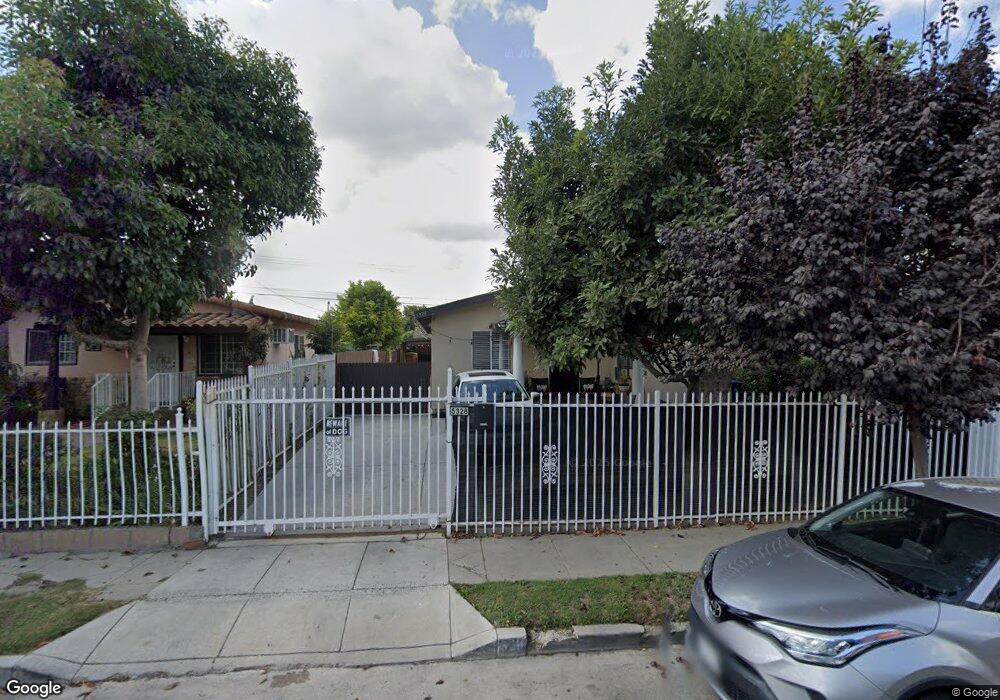
5328 Carlin St Los Angeles, CA 90016
West Adams NeighborhoodEstimated Value: $815,340 - $1,001,000
4
Beds
2
Baths
1,220
Sq Ft
$755/Sq Ft
Est. Value
About This Home
This home is located at 5328 Carlin St, Los Angeles, CA 90016 and is currently estimated at $921,585, approximately $755 per square foot. 5328 Carlin St is a home located in Los Angeles County with nearby schools including Marvin Avenue Elementary School, Daniel Webster Middle School, and Susan Miller Dorsey Senior High School.
Ownership History
Date
Name
Owned For
Owner Type
Purchase Details
Closed on
Oct 23, 2002
Sold by
Barjollo Hugo J and Barjollo Esther A
Bought by
Nunez Juan and Nunez Maria G
Current Estimated Value
Home Financials for this Owner
Home Financials are based on the most recent Mortgage that was taken out on this home.
Original Mortgage
$158,400
Interest Rate
5.97%
Create a Home Valuation Report for This Property
The Home Valuation Report is an in-depth analysis detailing your home's value as well as a comparison with similar homes in the area
Home Values in the Area
Average Home Value in this Area
Purchase History
| Date | Buyer | Sale Price | Title Company |
|---|---|---|---|
| Nunez Juan | $198,000 | Gateway Title Company |
Source: Public Records
Mortgage History
| Date | Status | Borrower | Loan Amount |
|---|---|---|---|
| Previous Owner | Nunez Juan | $158,400 |
Source: Public Records
Tax History Compared to Growth
Tax History
| Year | Tax Paid | Tax Assessment Tax Assessment Total Assessment is a certain percentage of the fair market value that is determined by local assessors to be the total taxable value of land and additions on the property. | Land | Improvement |
|---|---|---|---|---|
| 2025 | $3,567 | $286,748 | $188,272 | $98,476 |
| 2024 | $3,567 | $281,127 | $184,581 | $96,546 |
| 2023 | $3,504 | $275,615 | $180,962 | $94,653 |
| 2022 | $3,349 | $270,212 | $177,414 | $92,798 |
| 2021 | $3,300 | $264,915 | $173,936 | $90,979 |
| 2020 | $3,330 | $262,200 | $172,153 | $90,047 |
| 2019 | $3,204 | $257,060 | $168,778 | $88,282 |
| 2018 | $3,123 | $252,020 | $165,469 | $86,551 |
| 2016 | $2,978 | $242,236 | $159,045 | $83,191 |
| 2015 | $2,936 | $238,598 | $156,656 | $81,942 |
| 2014 | $2,958 | $233,925 | $153,588 | $80,337 |
Source: Public Records
Map
Nearby Homes
- 5338 Smiley Dr
- 2701 S Cloverdale Ave
- 2736 S Cloverdale Ave
- 2536 2538 S Rimpau Blvd
- 5232 Westhaven St
- 5459 Carlin St
- 2622 Cochran Ave
- 2635 S Cloverdale Ave
- 2927 S Cloverdale Ave
- 2627 S Cloverdale Ave
- 5511 Smiley Dr
- 2672 S Redondo Blvd
- 2923 S Burnside Ave
- 2812 Alsace Ave
- 2927 S Redondo Blvd
- 5462 Homeside Ave
- 5530 Geer St
- 2922 S Redondo Blvd
- 2935 Redondo Blvd
- 2939 Redondo Blvd
- 5332 Carlin St
- 5326 Carlin St
- 5320 Carlin St
- 5338 Carlin St
- 5342 Carlin St
- 5329 Geer St
- 5335 Geer St
- 5327 Geer Ave
- 5339 Geer St
- 2765 Duray Place
- 5352 Carlin St
- 5343 Geer St
- 5331 Carlin St
- 5335 Carlin St
- 5327 Carlin St
- 2766 Duray Place
- 2733 S Cochran Ave
- 5339 Carlin St
- 2729 S Cochran Ave
- 2739 S Cochran Ave