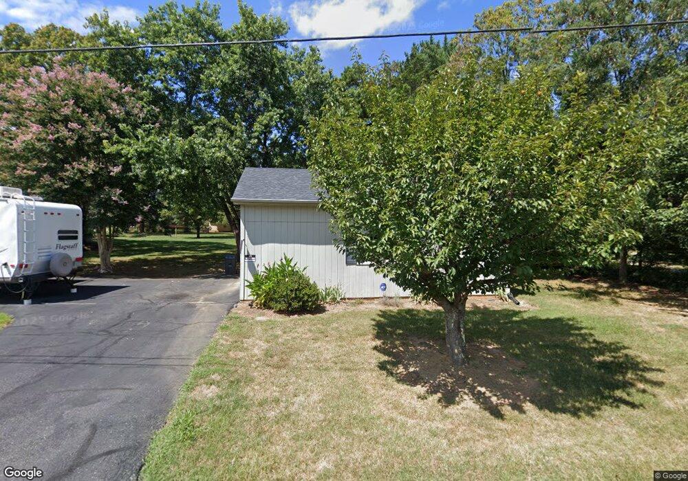
533 Dixie Airport Rd Madison Heights, VA 24572
Estimated Value: $277,000 - $326,000
3
Beds
2
Baths
1,750
Sq Ft
$172/Sq Ft
Est. Value
About This Home
This home is located at 533 Dixie Airport Rd, Madison Heights, VA 24572 and is currently estimated at $300,372, approximately $171 per square foot. 533 Dixie Airport Rd is a home located in Amherst County with nearby schools including Amelon Elementary School, Monelison Middle School, and Amherst County High School.
Ownership History
Date
Name
Owned For
Owner Type
Purchase Details
Closed on
Apr 14, 2008
Sold by
Story Michael Mccoy and Story Kimberly H
Bought by
Storey Ronald L and Storey Rebecca B
Current Estimated Value
Home Financials for this Owner
Home Financials are based on the most recent Mortgage that was taken out on this home.
Original Mortgage
$103,000
Outstanding Balance
$76,902
Interest Rate
9.78%
Mortgage Type
New Conventional
Estimated Equity
$223,470
Create a Home Valuation Report for This Property
The Home Valuation Report is an in-depth analysis detailing your home's value as well as a comparison with similar homes in the area
Home Values in the Area
Average Home Value in this Area
Purchase History
| Date | Buyer | Sale Price | Title Company |
|---|---|---|---|
| Storey Ronald L | -- | None Available |
Source: Public Records
Mortgage History
| Date | Status | Borrower | Loan Amount |
|---|---|---|---|
| Open | Storey Ronald L | $103,000 |
Source: Public Records
Tax History Compared to Growth
Tax History
| Year | Tax Paid | Tax Assessment Tax Assessment Total Assessment is a certain percentage of the fair market value that is determined by local assessors to be the total taxable value of land and additions on the property. | Land | Improvement |
|---|---|---|---|---|
| 2025 | $1,253 | $205,400 | $25,000 | $180,400 |
| 2024 | $1,253 | $205,400 | $25,000 | $180,400 |
| 2023 | $1,253 | $205,400 | $25,000 | $180,400 |
| 2022 | $1,253 | $205,400 | $25,000 | $180,400 |
| 2021 | $1,253 | $205,400 | $25,000 | $180,400 |
| 2020 | $1,253 | $205,400 | $25,000 | $180,400 |
| 2019 | $1,227 | $201,100 | $31,000 | $170,100 |
| 2018 | $1,227 | $201,100 | $31,000 | $170,100 |
| 2017 | $1,227 | $201,100 | $31,000 | $170,100 |
| 2016 | $1,227 | $201,100 | $31,000 | $170,100 |
| 2015 | $1,126 | $201,100 | $31,000 | $170,100 |
| 2014 | $1,126 | $201,100 | $31,000 | $170,100 |
Source: Public Records
Map
Nearby Homes
- 571 Dixie Airport Rd
- 121 Crestwood Dr
- 150 Glenwood Dr
- 327 Dixie Airport Rd
- 272 Dixie Airport Rd
- 250 S Wood Duck Dr
- 505 Royal Gardens Ct
- 51 Patrick Ct
- 4123 S Amherst Hwy
- 151 Stratford Place
- TBD Stratford Place Unit 39
- 289 Todd Ln
- 0 Commonwealth Dr Unit 361760
- 0 Lot 10 & 11 Stoney Creek Dr Unit 345183
- 193 Daniels Dr
- 164 Glade Rd
- 1358 S Coolwell Rd
- 0 Monticello Ln
- 115 Morgan Rd
- 1769 Izaak Walton Rd
- 119 Abbitts Dr
- 551 Dixie Airport Rd
- 120 Abbitts Dr
- 561 Dixie Airport Rd
- 128 Abbitts Dr
- 2 Dixie Airport Rd
- 529 Dixie Airport Rd
- 144 Abbitts Dr
- 121 Plum Ln
- 542 Dixie Airport Rd
- 534 Dixie Airport Rd
- 554 Dixie Airport Rd
- 145 Abbitts Dr
- 526 Dixie Airport Rd
- 152 Abbitts Dr
- 562 Dixie Airport Rd
- 587 Dixie Airport Rd
- 516 Dixie Airport Rd
- 507 Dixie Airport Rd
- 564 Dixie Airport Rd