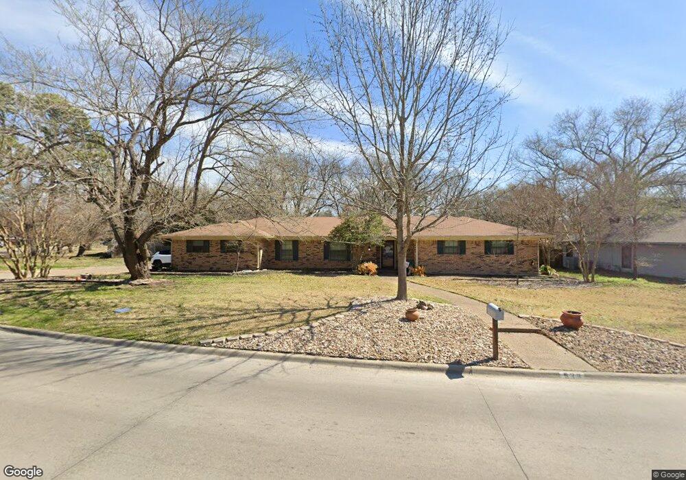
533 Forrest Ln Corsicana, TX 75110
Estimated Value: $271,452 - $331,000
--
Bed
--
Bath
2,600
Sq Ft
$117/Sq Ft
Est. Value
About This Home
This home is located at 533 Forrest Ln, Corsicana, TX 75110 and is currently estimated at $303,863, approximately $116 per square foot. 533 Forrest Ln is a home located in Navarro County with nearby schools including Corsicana High School and William Tyndale Christian Academy.
Ownership History
Date
Name
Owned For
Owner Type
Purchase Details
Closed on
Jan 29, 2009
Sold by
Allen Tommie and Allen Frank Alton
Bought by
Back Beverly
Current Estimated Value
Home Financials for this Owner
Home Financials are based on the most recent Mortgage that was taken out on this home.
Original Mortgage
$30,600
Interest Rate
5.09%
Mortgage Type
Purchase Money Mortgage
Create a Home Valuation Report for This Property
The Home Valuation Report is an in-depth analysis detailing your home's value as well as a comparison with similar homes in the area
Home Values in the Area
Average Home Value in this Area
Purchase History
| Date | Buyer | Sale Price | Title Company |
|---|---|---|---|
| Back Beverly | -- | -- |
Source: Public Records
Mortgage History
| Date | Status | Borrower | Loan Amount |
|---|---|---|---|
| Closed | Back Beverly | $30,600 |
Source: Public Records
Tax History Compared to Growth
Tax History
| Year | Tax Paid | Tax Assessment Tax Assessment Total Assessment is a certain percentage of the fair market value that is determined by local assessors to be the total taxable value of land and additions on the property. | Land | Improvement |
|---|---|---|---|---|
| 2025 | $3,978 | $210,099 | $74,260 | $230,710 |
| 2024 | $3,617 | $190,999 | $49,500 | $249,480 |
| 2023 | $2,657 | $173,635 | $49,500 | $250,850 |
| 2022 | $3,655 | $168,960 | $20,630 | $148,330 |
| 2021 | $3,730 | $143,500 | $20,630 | $122,870 |
| 2020 | $3,808 | $143,500 | $20,630 | $122,870 |
| 2019 | $3,849 | $140,150 | $20,630 | $119,520 |
| 2018 | $3,708 | $136,020 | $16,500 | $119,520 |
| 2017 | $3,367 | $122,740 | $16,500 | $106,240 |
| 2016 | $3,367 | $122,740 | $16,500 | $106,240 |
| 2015 | -- | $122,740 | $16,500 | $106,240 |
| 2014 | -- | $117,420 | $16,500 | $100,920 |
Source: Public Records
Map
Nearby Homes
- 542 Forrest Ln
- 2604 Forest Lane Cir
- 2631 Fish Tank Rd
- 2629 Fish Tank Rd
- 421 Forrest Ln
- 2809 Lafayette St
- 408 Fairmont Ave
- 400 Fairmont Ave
- 1000 Bryn Mawr St
- 524 Lakewood Ave
- 800 Imperial Ln
- 2812 Winfield Dr
- 2110 Dartmouth Ln
- 1004 Bryn Mawr St
- 3100 Louis Ave
- 2420 N Beaton St
- 1305 Tammy Ave
- 2200 N Beaton St
- 2903 N Beaton St
- 3128 Emhouse Rd
- 541 Forrest Ln
- 2712 Fish Tank Rd
- 545 Forrest Ln
- 536 Forrest Ln
- 2708 Fish Tank Rd
- 527 Forrest Ln
- 532 Forrest Ln
- 2605 Forrest Cir S
- 2605 Forest Lane Cir
- 546 Forrest Ln
- 549 Forrest Ln
- 2709 Fish Tank Rd
- 2704 Fish Tank Rd
- 528 Forrest Ln
- 523 Forrest Ln
- 525 Oakridge Dr
- 533 Oakridge Dr
- 521 Oakridge Dr
- 2705 Fish Tank Rd
- 2700 Fish Tank Rd