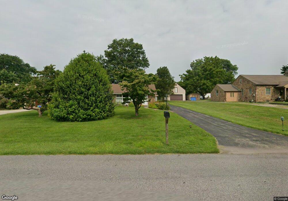
533 Port Indian Rd Norristown, PA 19403
West Norriton Township NeighborhoodEstimated Value: $360,000 - $441,029
3
Beds
2
Baths
1,215
Sq Ft
$333/Sq Ft
Est. Value
About This Home
This home is located at 533 Port Indian Rd, Norristown, PA 19403 and is currently estimated at $404,507, approximately $332 per square foot. 533 Port Indian Rd is a home located in Montgomery County with nearby schools including Charles Blockson Middle School, Paul V Fly Elementary School, and East Norriton Middle School.
Ownership History
Date
Name
Owned For
Owner Type
Purchase Details
Closed on
Oct 31, 2022
Sold by
Klingaman Robert F
Bought by
Klingaman Sarah E
Current Estimated Value
Purchase Details
Closed on
Aug 12, 1971
Bought by
Klingaman Robert F and Klingaman Sarah E
Create a Home Valuation Report for This Property
The Home Valuation Report is an in-depth analysis detailing your home's value as well as a comparison with similar homes in the area
Home Values in the Area
Average Home Value in this Area
Purchase History
| Date | Buyer | Sale Price | Title Company |
|---|---|---|---|
| Klingaman Sarah E | -- | -- | |
| Klingaman Sarah E | -- | None Listed On Document | |
| Klingaman Robert F | -- | -- |
Source: Public Records
Tax History Compared to Growth
Tax History
| Year | Tax Paid | Tax Assessment Tax Assessment Total Assessment is a certain percentage of the fair market value that is determined by local assessors to be the total taxable value of land and additions on the property. | Land | Improvement |
|---|---|---|---|---|
| 2025 | $6,853 | $140,250 | $62,320 | $77,930 |
| 2024 | $6,853 | $140,250 | $62,320 | $77,930 |
| 2023 | $6,775 | $140,250 | $62,320 | $77,930 |
| 2022 | $6,731 | $140,250 | $62,320 | $77,930 |
| 2021 | $6,690 | $140,250 | $62,320 | $77,930 |
| 2020 | $6,490 | $140,250 | $62,320 | $77,930 |
| 2019 | $6,345 | $140,250 | $62,320 | $77,930 |
| 2018 | $4,931 | $140,250 | $62,320 | $77,930 |
| 2017 | $5,990 | $140,250 | $62,320 | $77,930 |
| 2016 | $5,936 | $140,250 | $62,320 | $77,930 |
| 2015 | $5,499 | $140,250 | $62,320 | $77,930 |
| 2014 | $5,499 | $140,250 | $62,320 | $77,930 |
Source: Public Records
Map
Nearby Homes
- 2044 Mill Rd
- 0 Roosevelt Blvd
- 2017 Yorktown S
- 526 Bassett Ln
- 2012 Yorktown S
- 1914 Yorktown S
- 1905 Yorktown N
- 1924 Juniata Rd
- 365 Norris Hall Ln
- 37 Burnside Ave
- 143 Riversedge Dr Unit CONDO 143
- 307 Brandon Rd
- 402 Brandon Rd
- 167 Woodstream Dr Unit CONDO 167
- 533 Brandon Rd
- 176 Riversedge Dr
- 121 Woodstream Dr Unit CONDO 121
- 1503 Reagan Ct
- 2504 Grant Ct
- 123 Glenwood Ave
- 537 Port Indian Rd
- 525 Port Indian Rd
- 541 Port Indian Rd
- 545 Port Indian Rd
- 224 Egypt Rd
- 234 Egypt Rd
- 519 Port Indian Rd
- 220 Egypt Rd
- 226 Egypt Rd Unit 7
- 549 Port Indian Rd
- 230 Egypt Rd
- 513 Port Indian Rd
- 236 Egypt Rd
- 210 Egypt Rd
- 557 Port Indian Rd
- 206 Egypt Rd
- 223 Egypt Rd Unit 10
- 219 Egypt Rd
- 200 Egypt Rd
- 215 Egypt Rd