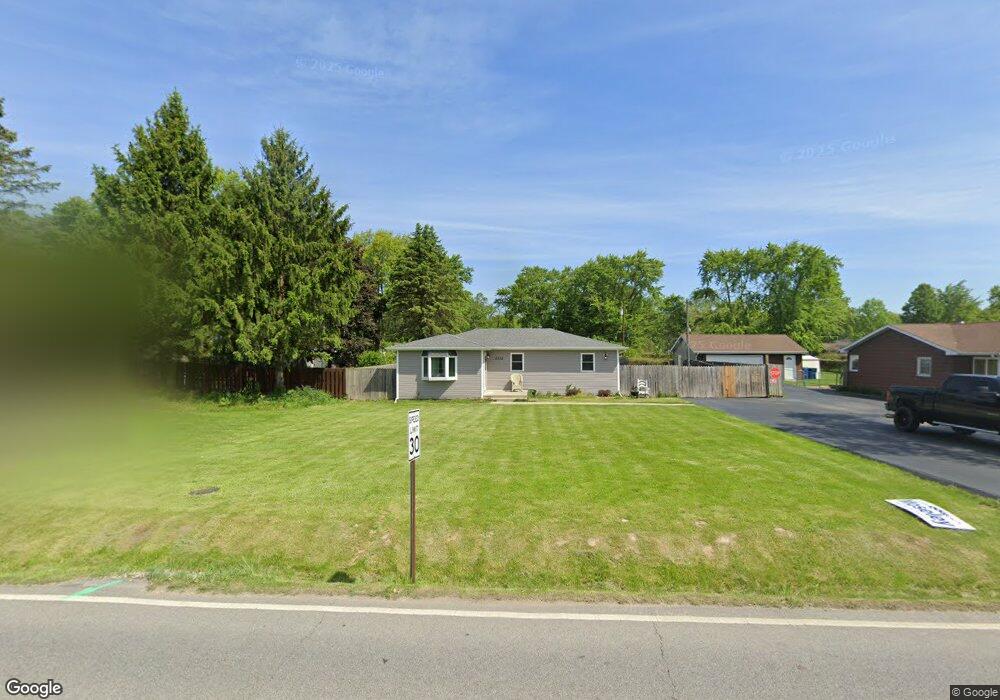
5332 La Hayne Rd Chesterton, IN 46304
Estimated Value: $204,932 - $230,000
3
Beds
1
Bath
1,080
Sq Ft
$200/Sq Ft
Est. Value
About This Home
This home is located at 5332 La Hayne Rd, Chesterton, IN 46304 and is currently estimated at $216,483, approximately $200 per square foot. 5332 La Hayne Rd is a home located in Porter County with nearby schools including Liberty Elementary School, Liberty Intermediate School, and Chesterton Middle School.
Ownership History
Date
Name
Owned For
Owner Type
Purchase Details
Closed on
Jul 20, 2021
Sold by
Craft Tamara L and Heaton Tamara L
Bought by
Heaton Ronald D and Ehaton Tamara L
Current Estimated Value
Purchase Details
Closed on
Nov 21, 2012
Sold by
Craft Charles V
Bought by
Craft Tamara L
Home Financials for this Owner
Home Financials are based on the most recent Mortgage that was taken out on this home.
Original Mortgage
$89,540
Outstanding Balance
$62,918
Interest Rate
3.75%
Mortgage Type
FHA
Estimated Equity
$153,565
Create a Home Valuation Report for This Property
The Home Valuation Report is an in-depth analysis detailing your home's value as well as a comparison with similar homes in the area
Home Values in the Area
Average Home Value in this Area
Purchase History
| Date | Buyer | Sale Price | Title Company |
|---|---|---|---|
| Heaton Ronald D | -- | None Available | |
| Craft Tamara L | -- | None Available |
Source: Public Records
Mortgage History
| Date | Status | Borrower | Loan Amount |
|---|---|---|---|
| Open | Craft Tamara L | $89,540 |
Source: Public Records
Tax History Compared to Growth
Tax History
| Year | Tax Paid | Tax Assessment Tax Assessment Total Assessment is a certain percentage of the fair market value that is determined by local assessors to be the total taxable value of land and additions on the property. | Land | Improvement |
|---|---|---|---|---|
| 2024 | $1,987 | $148,800 | $23,900 | $124,900 |
| 2023 | $1,466 | $132,400 | $20,700 | $111,700 |
| 2022 | $1,446 | $145,900 | $20,700 | $125,200 |
| 2021 | $954 | $110,600 | $20,700 | $89,900 |
| 2020 | $856 | $102,900 | $20,700 | $82,200 |
| 2019 | $816 | $97,400 | $20,700 | $76,700 |
| 2018 | $785 | $94,600 | $20,700 | $73,900 |
| 2017 | $854 | $101,800 | $20,700 | $81,100 |
| 2016 | $828 | $102,500 | $20,900 | $81,600 |
| 2014 | $827 | $96,600 | $19,500 | $77,100 |
| 2013 | -- | $92,300 | $20,000 | $72,300 |
Source: Public Records
Map
Nearby Homes
- 2513 Springdale St
- 2141 Larchwood Ave
- 2131 Pepperbush Ave
- 0 St Rd 149 Unit NRA824925
- TBD Lenburg Rd
- 1461 Eagle St
- 3585 Drivers Way
- 3525 Drivers Way
- 237 Cessna Dr
- V/L U S 20
- 283 Melton Rd
- The Duneland Plan at Village in Burns Harbor
- 2375 Arrow St
- 1151 Burns Blvd
- 0 Burns Blvd
- 1138 Weaver Way
- 1136 Weaver Way
- 357 Melton Rd
- 1162 Chesterfield Ave
- 1609 Melanie Ln
- 5322 La Hayne Rd
- 5352 Elgin St
- 5312 Lahayne Rd
- 5312 La Hayne Rd
- 1833 Elgin St
- 5302 La Hayne Rd
- 5302 Lahayne Rd
- 1842 Ritter St
- 4534 Meadowdale Ave
- 5402 Elgin St
- 1801 Elgin St
- 4514 Meadowdale Ave
- 1826 Ritter St
- 1810 Ritter St
- 5362 La Hayne Rd
- 5422 Lahayne Rd
- 5422 La Hayne Rd
- 2412 Ritter St
- 2410 Springdale St
- 1817 Ritter St