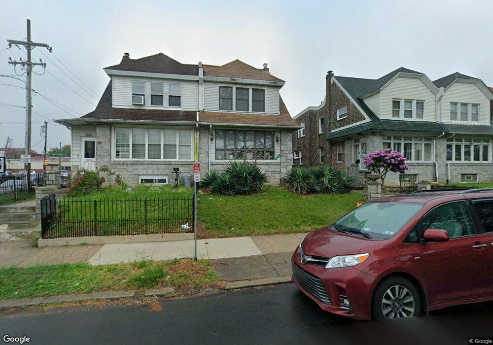
5333 Castor Ave Philadelphia, PA 19124
Lawncrest NeighborhoodEstimated Value: $288,000 - $361,000
4
Beds
3
Baths
2,280
Sq Ft
$141/Sq Ft
Est. Value
About This Home
This home is located at 5333 Castor Ave, Philadelphia, PA 19124 and is currently estimated at $321,779, approximately $141 per square foot. 5333 Castor Ave is a home located in Philadelphia County with nearby schools including Frankford High School, The Philadelphia Charter School for the Arts & Sciences, and Northwood Academy Charter School.
Ownership History
Date
Name
Owned For
Owner Type
Purchase Details
Closed on
Oct 21, 2009
Sold by
Arter Catharine B and Arter Richard S
Bought by
Colbert Sherry F
Current Estimated Value
Home Financials for this Owner
Home Financials are based on the most recent Mortgage that was taken out on this home.
Original Mortgage
$156,000
Outstanding Balance
$101,347
Interest Rate
5.06%
Mortgage Type
New Conventional
Estimated Equity
$220,432
Create a Home Valuation Report for This Property
The Home Valuation Report is an in-depth analysis detailing your home's value as well as a comparison with similar homes in the area
Home Values in the Area
Average Home Value in this Area
Purchase History
| Date | Buyer | Sale Price | Title Company |
|---|---|---|---|
| Colbert Sherry F | $195,000 | None Available |
Source: Public Records
Mortgage History
| Date | Status | Borrower | Loan Amount |
|---|---|---|---|
| Open | Colbert Sherry F | $156,000 |
Source: Public Records
Tax History Compared to Growth
Tax History
| Year | Tax Paid | Tax Assessment Tax Assessment Total Assessment is a certain percentage of the fair market value that is determined by local assessors to be the total taxable value of land and additions on the property. | Land | Improvement |
|---|---|---|---|---|
| 2026 | $3,064 | $259,900 | $51,980 | $207,920 |
| 2025 | $3,064 | $259,900 | $51,980 | $207,920 |
| 2024 | $3,064 | $259,900 | $51,980 | $207,920 |
| 2023 | $3,064 | $218,900 | $43,780 | $175,120 |
| 2022 | $1,730 | $173,900 | $43,780 | $130,120 |
| 2021 | $2,360 | $0 | $0 | $0 |
| 2020 | $2,360 | $0 | $0 | $0 |
| 2019 | $2,265 | $0 | $0 | $0 |
| 2018 | $1,961 | $0 | $0 | $0 |
| 2017 | $2,381 | $0 | $0 | $0 |
| 2016 | $1,961 | $0 | $0 | $0 |
| 2015 | $1,877 | $0 | $0 | $0 |
| 2014 | -- | $170,100 | $39,591 | $130,509 |
| 2012 | -- | $22,464 | $3,712 | $18,752 |
Source: Public Records
Map
Nearby Homes
- 1048 Bridge St
- 5661 Miriam Rd
- 5659 Miriam Rd
- 1137 Bridge St
- 5640 Miriam Rd
- 996 Anchor St
- 991 Carver St
- 1209 E Sanger St
- 1431 Rosalie St
- 972 Bridge St
- 5902 E Roosevelt Blvd
- 1225 E Cheltenham Ave
- 5347 Sylvester St
- 1244 E Sanger St
- 1211 E Cheltenham Ave
- 934 Brill St
- 5505 Loretto Ave
- 1204 Pratt St
- 5900 Loretto Ave
- 1218 Pratt St
- 5335 Castor Ave
- 5331 Castor Ave
- 5329 Castor Ave
- 5327 Castor Ave
- 5398 Oxford Ave
- 5396 Oxford Ave
- 5325 Castor Ave
- 5394 Oxford Ave
- 5392 Oxford Ave
- 5323 Castor Ave
- 5390 Oxford Ave
- 5321 Castor Ave
- 5498 Oxford Ave
- 5388 Oxford Ave Unit 1ST FLOOR
- 5319 Castor Ave
- 5386 Oxford Ave
- 5384 Oxford Ave
- 5315 Castor Ave
- 5318 Rutland St
- 5313 Castor Ave