5343 Long Rd Portland, TN 37148
Estimated Value: $1,922,311
--
Bed
--
Bath
22,066
Sq Ft
$87/Sq Ft
Est. Value
About This Home
This home is located at 5343 Long Rd, Portland, TN 37148 and is currently estimated at $1,922,311, approximately $87 per square foot. 5343 Long Rd is a home located in Robertson County with nearby schools including East Robertson Elementary School and East Robertson High School.
Ownership History
Date
Name
Owned For
Owner Type
Purchase Details
Closed on
Dec 31, 2019
Sold by
Om Sai Investment Group Inc
Bought by
Yield Hospitality Inc
Current Estimated Value
Purchase Details
Closed on
Jan 9, 2017
Sold by
Kali Krishan Inc
Bought by
Om Sai Investment Group Inc
Home Financials for this Owner
Home Financials are based on the most recent Mortgage that was taken out on this home.
Original Mortgage
$150,000
Interest Rate
4.13%
Mortgage Type
Stand Alone Second
Purchase Details
Closed on
May 24, 2006
Sold by
Labha Llc
Bought by
Kale Krishna Inc
Home Financials for this Owner
Home Financials are based on the most recent Mortgage that was taken out on this home.
Original Mortgage
$395,000
Interest Rate
6.5%
Purchase Details
Closed on
Apr 13, 1998
Sold by
Red River Country
Bought by
Labha Llc
Purchase Details
Closed on
Oct 14, 1986
Bought by
Red River Country Inn Inc
Create a Home Valuation Report for This Property
The Home Valuation Report is an in-depth analysis detailing your home's value as well as a comparison with similar homes in the area
Home Values in the Area
Average Home Value in this Area
Purchase History
| Date | Buyer | Sale Price | Title Company |
|---|---|---|---|
| Yield Hospitality Inc | $1,200,000 | Benchmark Title Company | |
| Om Sai Investment Group Inc | $750,000 | None Available | |
| Kale Krishna Inc | $545,000 | -- | |
| Labha Llc | $490,000 | -- | |
| Red River Country Inn Inc | -- | -- |
Source: Public Records
Mortgage History
| Date | Status | Borrower | Loan Amount |
|---|---|---|---|
| Previous Owner | Om Sai Investment Group Inc | $150,000 | |
| Previous Owner | Red River Country Inn Inc | $395,000 |
Source: Public Records
Tax History Compared to Growth
Tax History
| Year | Tax Paid | Tax Assessment Tax Assessment Total Assessment is a certain percentage of the fair market value that is determined by local assessors to be the total taxable value of land and additions on the property. | Land | Improvement |
|---|---|---|---|---|
| 2024 | -- | $305,840 | $74,760 | $231,080 |
| 2023 | $5,505 | $305,840 | $74,760 | $231,080 |
| 2022 | $7,532 | $292,400 | $79,000 | $213,400 |
| 2021 | $7,532 | $292,400 | $79,000 | $213,400 |
| 2020 | $7,532 | $292,400 | $79,000 | $213,400 |
| 2019 | $7,532 | $292,400 | $79,000 | $213,400 |
| 2018 | $7,532 | $292,400 | $79,000 | $213,400 |
| 2017 | $9,234 | $299,320 | $60,000 | $239,320 |
| 2016 | $9,234 | $299,320 | $60,000 | $239,320 |
| 2015 | $8,860 | $299,320 | $60,000 | $239,320 |
| 2014 | $8,880 | $300,000 | $60,000 | $240,000 |
Source: Public Records
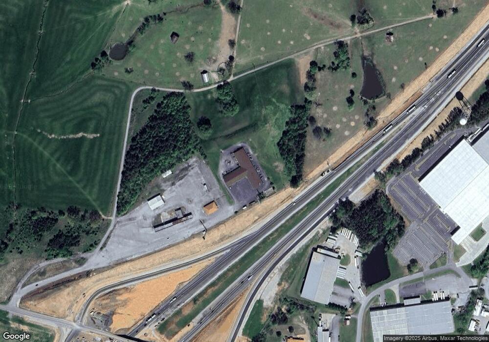
Map
Nearby Homes
- 135 Old Highway 52 W
- 5300 Highway 31 W
- 1202 Tennessee 52
- 9416 Shady Park Rd
- 432 Crafton Rd
- 909 College St
- 648 Scattersville Rd
- 113 Megann Dr
- 0 Bill Anderson Rd
- 8637 Tennessee 52
- 5881 Highway 31 W
- 284 Clubbs Rd
- 7197 Highland Rd
- 131 N Harris Ln
- 143 N Harris Ln
- 844 College St
- 114 Tanesha Ct
- 211 Amy Dr
- 0 Shaub Rd
- 267 Aplin Branch Rd
- 5306 Old Highway 52
- 5331 Old Highway 52
- 9296 Highway 52
- 9118 Highway 52
- 9104 Highway 52
- 5471 U S 31w
- 9243 Byrums Chapel Rd
- 52 High St
- 9305 Byrums Chapel Rd
- 9279 Byrums Chapel Rd
- 5313 Highway 31 W
- 9130 Byrums Chapel Rd
- 9166 Byrums Chapel Rd
- 9328 Byrums Chapel Rd
- 9126 Byrums Chapel Rd
- 9126 Byrums Chapel Rd
- 5320 Highway 31 W
- 0 Byrum Chapel Rd
- 9316 Byrums Chapel Rd
- 5615 Highway 31 W