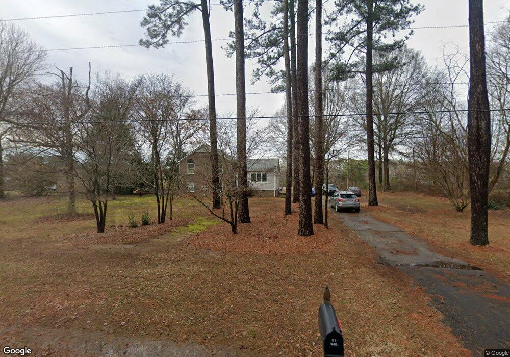
5362 Woodside Dr Rock Hill, SC 29732
Estimated Value: $305,379 - $446,000
--
Bed
--
Bath
1,835
Sq Ft
$200/Sq Ft
Est. Value
About This Home
This home is located at 5362 Woodside Dr, Rock Hill, SC 29732 and is currently estimated at $366,595, approximately $199 per square foot. 5362 Woodside Dr is a home located in York County with nearby schools including Mount Gallant Elementary School, Dutchman Creek Middle School, and Northwestern High School.
Ownership History
Date
Name
Owned For
Owner Type
Purchase Details
Closed on
Feb 26, 2020
Sold by
Sanders Steven Carl and Mcgaha Melanie Lynn
Bought by
Dowd Harry W
Current Estimated Value
Home Financials for this Owner
Home Financials are based on the most recent Mortgage that was taken out on this home.
Original Mortgage
$186,558
Outstanding Balance
$164,909
Interest Rate
3.4%
Mortgage Type
FHA
Estimated Equity
$201,686
Purchase Details
Closed on
Jan 30, 2019
Sold by
Estate Of Emil Gajewski
Bought by
Sanders Steven Carl and Mcgaha Melanie Lynn
Home Financials for this Owner
Home Financials are based on the most recent Mortgage that was taken out on this home.
Original Mortgage
$176,291
Interest Rate
4.6%
Mortgage Type
FHA
Create a Home Valuation Report for This Property
The Home Valuation Report is an in-depth analysis detailing your home's value as well as a comparison with similar homes in the area
Home Values in the Area
Average Home Value in this Area
Purchase History
| Date | Buyer | Sale Price | Title Company |
|---|---|---|---|
| Dowd Harry W | $190,000 | None Available | |
| Sanders Steven Carl | $149,000 | None Available |
Source: Public Records
Mortgage History
| Date | Status | Borrower | Loan Amount |
|---|---|---|---|
| Open | Dowd Harry W | $186,558 | |
| Previous Owner | Sanders Steven Carl | $176,291 |
Source: Public Records
Tax History Compared to Growth
Tax History
| Year | Tax Paid | Tax Assessment Tax Assessment Total Assessment is a certain percentage of the fair market value that is determined by local assessors to be the total taxable value of land and additions on the property. | Land | Improvement |
|---|---|---|---|---|
| 2024 | $3,966 | $10,916 | $2,520 | $8,396 |
| 2023 | $4,005 | $10,916 | $2,520 | $8,396 |
| 2022 | $3,767 | $10,916 | $2,520 | $8,396 |
| 2021 | -- | $10,916 | $2,520 | $8,396 |
| 2020 | $846 | $5,880 | $0 | $0 |
| 2019 | $467 | $5,720 | $0 | $0 |
| 2018 | $464 | $7,650 | $0 | $0 |
| 2017 | $720 | $5,100 | $0 | $0 |
| 2016 | $706 | $5,100 | $0 | $0 |
| 2014 | $678 | $5,100 | $1,600 | $3,500 |
| 2013 | $678 | $5,320 | $1,600 | $3,720 |
Source: Public Records
Map
Nearby Homes
- 5380 Woodside Dr
- 5381 Woodside Dr
- 933 Kingswood Dr
- 1230 Bowater Rd
- 1592 Covenant Place
- 1388 Aragon Beach Rd
- 1210 Aragon Beach Rd
- 1367 Aragon Beach Rd
- 423 Shallowford Dr
- 479 Shallowford Dr
- 440 Shallowford Dr
- 239 Heatherland Dr
- 3059 Oxtail Ct
- 3029 Oxtail Ct
- 1015 Hands Mill Hwy
- 1538 Aragon Beach Rd
- 314 Challis Ct
- 1590 Springpoint Rd Unit E
- 1641 Bowater Rd
- 1657 Bowater Rd
- 5352 Woodside Dr
- 5372 Woodside Dr
- 5320 Woodside Dr
- 5363 Woodside Dr
- 5363 Woodside Dr Unit 23
- 5353 Woodside Dr
- 5373 Woodside Dr
- 36 Ac Bowater Rd
- 5344 Woodside Dr
- 5348 Woodside Dr
- 5358 Mount Gallant Rd
- 5348 Mount Gallant Rd
- 5348 Mount Gallant Rd
- 5368 Mount Gallant Rd
- 5338 Mount Gallant Rd
- 5334 Woodside Dr
- 5378 Mount Gallant Rd
- 5392 Woodside Dr
- 5333 Woodside Dr
- 5393 Woodside Dr