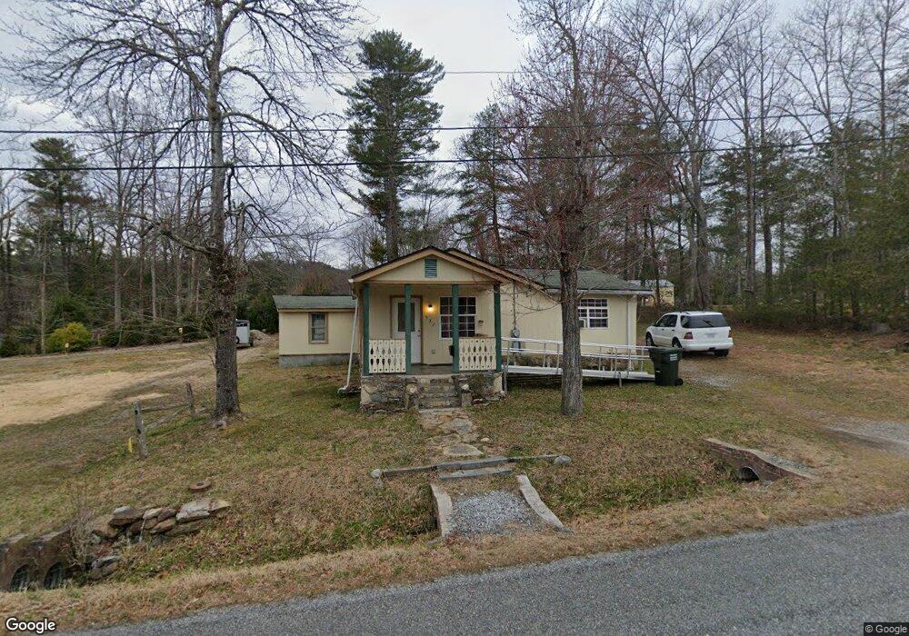
537 Westbrook Rd Hendersonville, NC 28739
Estimated Value: $149,000 - $246,000
2
Beds
1
Bath
955
Sq Ft
$195/Sq Ft
Est. Value
About This Home
This home is located at 537 Westbrook Rd, Hendersonville, NC 28739 and is currently estimated at $186,393, approximately $195 per square foot. 537 Westbrook Rd is a home located in Henderson County with nearby schools including Bruce Drysdale Elementary School, Hendersonville Middle School, and Hendersonville High School.
Ownership History
Date
Name
Owned For
Owner Type
Purchase Details
Closed on
Jan 27, 2020
Sold by
Mccabe John
Bought by
Catevenis Greg and Catevenis Curtis
Current Estimated Value
Home Financials for this Owner
Home Financials are based on the most recent Mortgage that was taken out on this home.
Original Mortgage
$73,275
Outstanding Balance
$65,052
Interest Rate
3.74%
Mortgage Type
New Conventional
Estimated Equity
$121,341
Purchase Details
Closed on
Feb 22, 2005
Sold by
Not Provided
Bought by
Mccabe John and Mccabe Jamie
Home Financials for this Owner
Home Financials are based on the most recent Mortgage that was taken out on this home.
Original Mortgage
$31,680
Interest Rate
5.12%
Mortgage Type
Purchase Money Mortgage
Create a Home Valuation Report for This Property
The Home Valuation Report is an in-depth analysis detailing your home's value as well as a comparison with similar homes in the area
Home Values in the Area
Average Home Value in this Area
Purchase History
| Date | Buyer | Sale Price | Title Company |
|---|---|---|---|
| Catevenis Greg | $98,000 | -- | |
| Mccabe John | $40,000 | -- |
Source: Public Records
Mortgage History
| Date | Status | Borrower | Loan Amount |
|---|---|---|---|
| Open | Catevenis Greg | $73,275 | |
| Previous Owner | Mccabe John | $31,680 |
Source: Public Records
Tax History Compared to Growth
Tax History
| Year | Tax Paid | Tax Assessment Tax Assessment Total Assessment is a certain percentage of the fair market value that is determined by local assessors to be the total taxable value of land and additions on the property. | Land | Improvement |
|---|---|---|---|---|
| 2025 | $381 | $73,200 | $23,200 | $50,000 |
| 2024 | $381 | $73,200 | $23,200 | $50,000 |
| 2023 | $381 | $73,200 | $23,200 | $50,000 |
| 2022 | $330 | $49,900 | $11,600 | $38,300 |
| 2021 | $330 | $41,000 | $11,600 | $29,400 |
| 2020 | $271 | $41,000 | $0 | $0 |
| 2019 | $271 | $41,000 | $0 | $0 |
| 2018 | $248 | $37,500 | $0 | $0 |
| 2017 | $248 | $37,500 | $0 | $0 |
| 2016 | $248 | $37,500 | $0 | $0 |
| 2015 | -- | $37,500 | $0 | $0 |
| 2014 | -- | $36,600 | $0 | $0 |
Source: Public Records
Map
Nearby Homes
- 515 Broadway St
- 706 Rhodes Park Dr
- 528 Glasgow Ln
- 201 Juniper Ln
- 106 Laurelwood Cir W Unit 3
- 527 Glasgow Ln
- 2 Lakemoor Ln
- 672 Blythe St
- 195 Jordan St
- 102 Glenbrook Dr
- 1329 4th Ave W Unit A
- 55 Laurel Spring Ln
- 252 Wash Creek Dr Unit H
- 627 Delaware Ln
- TBD Davenport Hills Rd
- 300 White Pine Dr
- 15 Lake Dr Unit D2
- 203 Davis Mountain Rd
- 33 Lake Dr Unit G5
- 33 Lake Dr Unit G-8
- 535 Westbrook Rd
- 545 Westbrook Rd
- 212 Wildwood Rd
- 200 Wildwood Rd
- 109 Marianne Dr
- 121 Marianne Dr
- 210 Wildwood Rd
- 133 Marianne Dr
- 97 Marianne Dr
- 137 Marianne Dr
- 16 Spence Dr
- 163 Marianne Dr
- 16 Spence Dr
- 85 Marianne Dr
- 177 Marianne Dr
- 189 Marianne Dr
- 28 Spence Dr
- 75 Marianne Dr
- 96 Spence Dr
- 126 Marianne Dr