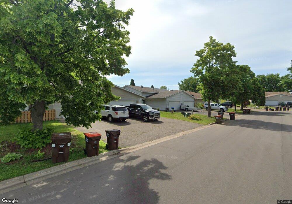
539 Kendall Dr Hastings, MN 55033
Hastings-Marshan Township NeighborhoodEstimated Value: $260,000 - $288,435
3
Beds
2
Baths
912
Sq Ft
$295/Sq Ft
Est. Value
About This Home
This home is located at 539 Kendall Dr, Hastings, MN 55033 and is currently estimated at $268,859, approximately $294 per square foot. 539 Kendall Dr is a home located in Dakota County with nearby schools including Kennedy Elementary School, Hastings Middle School, and Hastings High School.
Ownership History
Date
Name
Owned For
Owner Type
Purchase Details
Closed on
Jul 18, 2019
Sold by
Hogstad Hisako
Bought by
Liv Hogstad Hisako K and Liv Hisako K Hogstad Revocable
Current Estimated Value
Purchase Details
Closed on
Jul 27, 2018
Sold by
Hicks Nathan G
Bought by
Hogstad Hisako
Purchase Details
Closed on
Jul 28, 2006
Sold by
Bank Of New York
Bought by
Hogstad Hisako
Purchase Details
Closed on
Jul 27, 2004
Sold by
Wood Nathan J and Wood Tonia
Bought by
Not Provided
Purchase Details
Closed on
Feb 15, 2001
Sold by
Hud
Bought by
Ragjieram Nankumar
Purchase Details
Closed on
May 31, 2000
Sold by
Ragjieram Nankumar
Bought by
Wood Nathan J and Wood Gary E
Purchase Details
Closed on
Apr 26, 1996
Sold by
Cir Homes Inc
Bought by
Brandon Bradley M and Brandon Tonya P
Create a Home Valuation Report for This Property
The Home Valuation Report is an in-depth analysis detailing your home's value as well as a comparison with similar homes in the area
Home Values in the Area
Average Home Value in this Area
Purchase History
| Date | Buyer | Sale Price | Title Company |
|---|---|---|---|
| Liv Hogstad Hisako K | -- | None Available | |
| Hogstad Hisako | $161,800 | Stewart Title Guaranty Compa | |
| Hogstad Hisako | $145,000 | -- | |
| Not Provided | $172,000 | -- | |
| Ragjieram Nankumar | $103,333 | -- | |
| Wood Nathan J | $135,900 | -- | |
| Brandon Bradley M | $851,000 | -- |
Source: Public Records
Tax History Compared to Growth
Tax History
| Year | Tax Paid | Tax Assessment Tax Assessment Total Assessment is a certain percentage of the fair market value that is determined by local assessors to be the total taxable value of land and additions on the property. | Land | Improvement |
|---|---|---|---|---|
| 2024 | $2,844 | $246,500 | $39,000 | $207,500 |
| 2023 | $2,700 | $246,300 | $39,000 | $207,300 |
| 2022 | $2,414 | $240,500 | $39,000 | $201,500 |
| 2021 | $2,274 | $196,000 | $33,900 | $162,100 |
| 2020 | $2,310 | $183,400 | $32,300 | $151,100 |
| 2019 | $2,225 | $180,000 | $30,700 | $149,300 |
| 2018 | $2,142 | $164,500 | $29,200 | $135,300 |
| 2017 | $1,944 | $153,000 | $27,900 | $125,100 |
| 2016 | $1,899 | $138,100 | $26,000 | $112,100 |
| 2015 | $1,762 | $131,500 | $25,300 | $106,200 |
| 2014 | -- | $122,700 | $24,300 | $98,400 |
| 2013 | -- | $113,100 | $22,000 | $91,100 |
Source: Public Records
Map
Nearby Homes
- 3575 Vermillion St
- 3525 Vermillion St
- 235 Tiffany Dr
- 365 Hayes Dr Unit 30
- 182 Sandpiper Cir
- 3525 Douglas Dr
- 3200 Malcolm Ave
- 753 Greten Ln
- 782 31st St W
- 115 Kinglet Dr
- 4198 Starling Dr
- 1942 Eddy St
- 2000 Forest St
- 1163 Teal Way
- 545 Tuttle Dr
- 3125 Village Trail Unit 217
- 3591 Village Way
- 2021 Pine St
- 416 19th St W
- 2211 Glacier Way
- 537 Kendall Dr
- 541 Kendall Dr
- 543 Kendall Dr
- 535 Kendall Dr
- 545 Kendall Dr
- 425 Tiffany Dr
- 423 Tiffany Dr
- 427 Tiffany Dr
- 421 Tiffany Dr
- 547 Kendall Dr
- 429 Tiffany Dr
- 429 429 Tiffany Dr
- 558 Kendall Dr
- 540 Kendall Dr
- 419 Tiffany Dr
- 536 Kendall Dr
- 549 Kendall Dr
- 551 Kendall Dr
- 560 Kendall Dr
- 533 Tiffany Dr