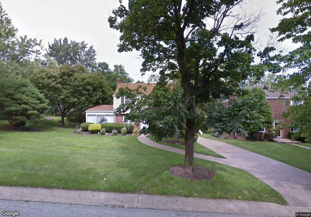
539 Oxford Blvd Pittsburgh, PA 15243
Estimated Value: $373,000 - $457,000
4
Beds
2
Baths
2,131
Sq Ft
$199/Sq Ft
Est. Value
About This Home
This home is located at 539 Oxford Blvd, Pittsburgh, PA 15243 and is currently estimated at $423,528, approximately $198 per square foot. 539 Oxford Blvd is a home located in Allegheny County with nearby schools including Hoover Elementary School, Jefferson Middle School, and Mt Lebanon Senior High School.
Ownership History
Date
Name
Owned For
Owner Type
Purchase Details
Closed on
Dec 11, 2018
Sold by
Swentosky Widow Josephine T
Bought by
Swentosky John
Current Estimated Value
Purchase Details
Closed on
Jun 4, 1974
Bought by
Swentosky John R and Swentosky Josephine T
Create a Home Valuation Report for This Property
The Home Valuation Report is an in-depth analysis detailing your home's value as well as a comparison with similar homes in the area
Home Values in the Area
Average Home Value in this Area
Purchase History
| Date | Buyer | Sale Price | Title Company |
|---|---|---|---|
| Swentosky John | -- | None Available | |
| Swentosky John R | $32,000 | -- |
Source: Public Records
Tax History Compared to Growth
Tax History
| Year | Tax Paid | Tax Assessment Tax Assessment Total Assessment is a certain percentage of the fair market value that is determined by local assessors to be the total taxable value of land and additions on the property. | Land | Improvement |
|---|---|---|---|---|
| 2025 | $7,644 | $207,600 | $70,500 | $137,100 |
| 2024 | $7,644 | $207,600 | $70,500 | $137,100 |
| 2023 | $7,480 | $207,600 | $70,500 | $137,100 |
| 2022 | $7,314 | $207,600 | $70,500 | $137,100 |
| 2021 | $7,272 | $207,600 | $70,500 | $137,100 |
| 2020 | $7,106 | $207,600 | $70,500 | $137,100 |
| 2019 | $5,851 | $191,300 | $70,500 | $120,800 |
| 2018 | $574 | $173,300 | $70,500 | $102,800 |
| 2017 | $5,783 | $173,300 | $70,500 | $102,800 |
| 2016 | $820 | $173,300 | $70,500 | $102,800 |
| 2015 | $820 | $173,300 | $70,500 | $102,800 |
| 2014 | $5,613 | $173,300 | $70,500 | $102,800 |
Source: Public Records
Map
Nearby Homes
- 1512 Worcester Dr
- 1612 Worcester Dr
- 623 Kelso Rd
- 600 Pat Haven Dr
- 1923 Berkwood Dr
- 1304 Bower Hill Rd
- 1299 Sylvandell Dr
- 1223 Driftwood Dr
- 809 Bethany Dr
- 50 Robb Hollow Rd
- 1241 Arrowood Dr
- 1960 Worcester Dr
- 1171 Arrowood Dr
- 1963 Worcester Dr
- 855 Lochlin Dr
- 1229 Pinewood Dr
- 840 Robb Hollow Rd
- 1808 Sillview Dr
- 2075 Borland Rd
- Lot Firwood Dr
- 543 Oxford Blvd
- 527 Oxford Blvd
- 549 Oxford Blvd
- 536 Kelso Rd
- 542 Kelso Rd
- 538 Oxford Blvd
- 536 Oxford Blvd
- 521 Oxford Blvd
- 542 Oxford Blvd
- 553 Oxford Blvd
- 546 Kelso Rd
- 2517 Wildwood Rd
- 528 Oxford Blvd
- 524 Oxford Blvd
- 548 Oxford Blvd
- 528 Kelso Rd
- 517 Oxford Blvd
- 559 Oxford Blvd
- 550 Kelso Rd
- 522 Kelso Rd