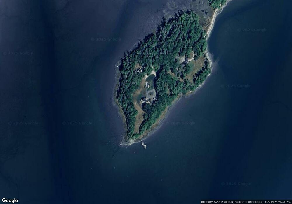
54 Bartol Island Rd Freeport, ME 04032
Estimated Value: $1,350,000 - $3,394,655
4
Beds
3
Baths
3,080
Sq Ft
$770/Sq Ft
Est. Value
About This Home
This home is located at 54 Bartol Island Rd, Freeport, ME 04032 and is currently estimated at $2,372,328, approximately $770 per square foot. 54 Bartol Island Rd is a home located in Cumberland County with nearby schools including Morse Street School, Mast Landing School, and Freeport Middle School.
Ownership History
Date
Name
Owned For
Owner Type
Purchase Details
Closed on
Dec 21, 2018
Sold by
Bartol Island Llc
Bought by
Mcvicker Mary K and Noyes Mary K
Current Estimated Value
Purchase Details
Closed on
Feb 21, 2008
Sold by
Stanley M Jacks Ret
Bought by
Bartol Island Llc
Create a Home Valuation Report for This Property
The Home Valuation Report is an in-depth analysis detailing your home's value as well as a comparison with similar homes in the area
Home Values in the Area
Average Home Value in this Area
Purchase History
| Date | Buyer | Sale Price | Title Company |
|---|---|---|---|
| Mcvicker Mary K | -- | -- | |
| Bartol Island Llc | $1,001 | -- |
Source: Public Records
Tax History Compared to Growth
Tax History
| Year | Tax Paid | Tax Assessment Tax Assessment Total Assessment is a certain percentage of the fair market value that is determined by local assessors to be the total taxable value of land and additions on the property. | Land | Improvement |
|---|---|---|---|---|
| 2024 | $48,626 | $3,642,400 | $1,701,100 | $1,941,300 |
| 2023 | $44,503 | $3,236,600 | $1,546,100 | $1,690,500 |
| 2022 | $42,424 | $3,108,000 | $1,384,300 | $1,723,700 |
| 2021 | $41,494 | $3,108,200 | $1,384,300 | $1,723,900 |
| 2020 | $24,282 | $1,734,400 | $1,175,000 | $559,400 |
| 2019 | $24,429 | $1,708,300 | $1,108,500 | $599,800 |
| 2018 | $20,959 | $1,392,600 | $1,027,100 | $365,500 |
| 2017 | $19,435 | $1,300,000 | $950,800 | $349,200 |
| 2016 | $18,521 | $1,172,200 | $848,200 | $324,000 |
| 2015 | $18,882 | $1,123,900 | $821,700 | $302,200 |
| 2014 | $17,758 | $1,123,900 | $821,700 | $302,200 |
| 2013 | $16,614 | $1,048,200 | $739,900 | $308,300 |
Source: Public Records
Map
Nearby Homes
- 26 Harvest Ridge Rd Unit 24
- 1612 U S Route 1
- 11 Orchard Hill Rd
- 212 Main St
- 15 Percy St
- 71 Merganser Way
- 10 Durham Rd
- 42 Durham Rd
- 15 Tinkers Way
- 34 Newfield Rd
- 1260 Us Route 1
- 304 Pownal Rd
- 8 Statler Ln
- 31 Sequoia Dr
- 15 Sequoia Dr
- 83 Central Ave
- 0 Prout Rd
- 31 Allen Range Rd
- 143 Bragdon Rd
- 4 Harper's Trail
- 53 Bartol Island Rd
- 0 Bartol Island Rd
- 18 Sandy Beach Rd
- 11 S Freeport Rd
- 16 Sandy Beach Rd
- 4 Cliff Ave
- 2 Cliff Ave
- 6 Cliff Ave
- 0 Cliff Ave Unit 1007399
- 85 Birch Point Rd
- 10 Cliff Ave
- 12 Cliff Ave
- 8 Cliff Ave
- 12 Sandy Beach Rd
- 15 Sandy Beach Rd
- 67 Birch Point Rd
- 3 Cliff Ave
- 67 Birch Point
- 77 Birch Point
- 93 Birch Point Rd