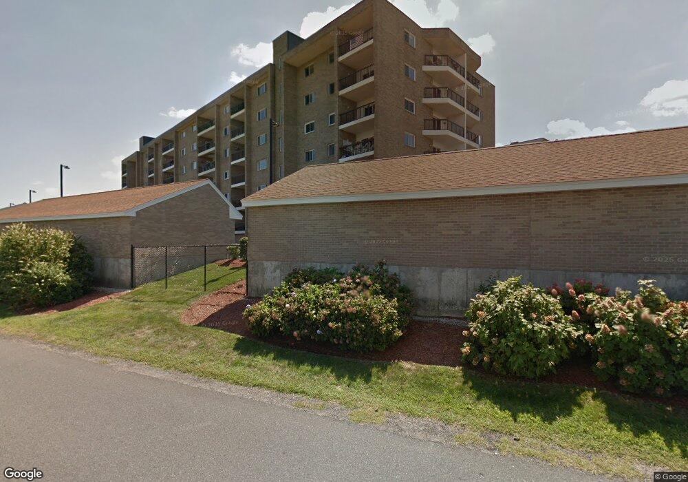
54 Broad Reach Unit 64 North Weymouth, MA 02191
North Weymouth NeighborhoodEstimated Value: $494,000 - $514,000
2
Beds
2
Baths
1,187
Sq Ft
$421/Sq Ft
Est. Value
About This Home
This home is located at 54 Broad Reach Unit 64, North Weymouth, MA 02191 and is currently estimated at $500,072, approximately $421 per square foot. 54 Broad Reach Unit 64 is a home located in Norfolk County with nearby schools including Wessagusset Elementary School, Abigail Adams Middle School, and Weymouth Middle School Chapman.
Ownership History
Date
Name
Owned For
Owner Type
Purchase Details
Closed on
Apr 26, 2023
Sold by
Oreilly Theresa Est and Griffin
Bought by
Parfenov Valeriy
Current Estimated Value
Purchase Details
Closed on
Jun 4, 2018
Sold by
Broad Reach Road Llc
Bought by
Oreilly Theresa
Purchase Details
Closed on
Nov 9, 1987
Sold by
East Bay Weympt Cpr
Bought by
Fererico Tr Nino
Home Financials for this Owner
Home Financials are based on the most recent Mortgage that was taken out on this home.
Original Mortgage
$600,000
Interest Rate
10.97%
Mortgage Type
Purchase Money Mortgage
Create a Home Valuation Report for This Property
The Home Valuation Report is an in-depth analysis detailing your home's value as well as a comparison with similar homes in the area
Home Values in the Area
Average Home Value in this Area
Purchase History
| Date | Buyer | Sale Price | Title Company |
|---|---|---|---|
| Parfenov Valeriy | $450,000 | None Available | |
| Parfenov Valerity | $450,000 | None Available | |
| Oreilly Theresa | $405,000 | -- | |
| Fererico Tr Nino | $207,000 | -- |
Source: Public Records
Mortgage History
| Date | Status | Borrower | Loan Amount |
|---|---|---|---|
| Previous Owner | Fererico Tr Nino | $600,000 |
Source: Public Records
Tax History Compared to Growth
Tax History
| Year | Tax Paid | Tax Assessment Tax Assessment Total Assessment is a certain percentage of the fair market value that is determined by local assessors to be the total taxable value of land and additions on the property. | Land | Improvement |
|---|---|---|---|---|
| 2025 | $4,773 | $472,600 | $0 | $472,600 |
| 2024 | $5,366 | $522,500 | $0 | $522,500 |
| 2023 | $5,014 | $479,800 | $0 | $479,800 |
| 2022 | $4,961 | $432,900 | $0 | $432,900 |
| 2021 | $4,765 | $405,900 | $0 | $405,900 |
| 2020 | $4,731 | $396,900 | $0 | $396,900 |
| 2019 | $4,541 | $374,700 | $0 | $374,700 |
| 2018 | $3,718 | $297,400 | $0 | $297,400 |
| 2017 | $3,723 | $290,600 | $0 | $290,600 |
| 2016 | $3,281 | $256,300 | $0 | $256,300 |
| 2015 | $3,164 | $245,300 | $0 | $245,300 |
| 2014 | $3,064 | $230,400 | $0 | $230,400 |
Source: Public Records
Map
Nearby Homes
- 51 Broad Reach Unit T23A
- 73 Broad Reach Unit M36C
- 73 Broad Reach Unit M21C
- 130 Broad Reach Unit 506
- 130 Broad Reach Unit 206
- 10 Shipyard Dr Unit 313
- 16 Caldwell St
- 125 Halsted Dr Unit 125
- 81 Kimball Beach Rd
- 16 Foley Beach Rd
- 69 Great Hill Dr
- 16 Beal's Cove Rd Unit E
- 15 Bayberry Rd
- 10 Beals Cove Rd Unit C
- 504 Tuckers Ln
- 53 Bel Air Rd
- 53 Bel Air Rd - To Be Built
- 17 Paige St
- 12 Daley Rd
- 109 Merryknoll Rd
- 54-64 Broad Reach Unit 404
- 54-64 Broad Reach Unit 309
- 54 Broad Reach Unit 202
- 54 Broad Reach Unit 401
- 54-64 Broad Reach Unit 106A
- 54 Broad Reach Unit 302
- 54 Broad Reach Unit 64
- 54 Broad Reach Unit 64
- 54 Broad Reach Unit 64
- 54 Broad Reach Unit 64
- 54 Broad Reach Unit 64
- 54 Broad Reach Unit 64
- 54 Broad Reach Unit 64
- 54 Broad Reach Unit 64
- 54 Broad Reach Unit 64
- 54 Broad Reach Unit 64
- 54 Broad Reach Unit 64
- 54 Broad Reach Unit 64
- 54 Broad Reach Unit 64
- 54 Broad Reach Unit 64