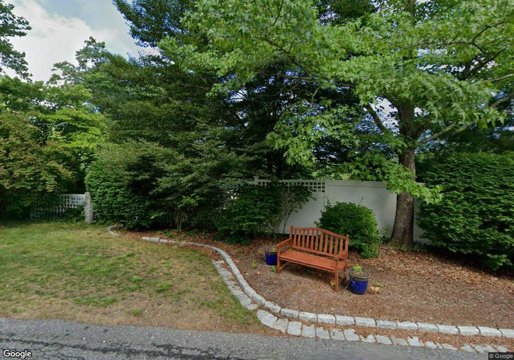
54 Plantation Dr Duxbury, MA 02332
Estimated Value: $896,000 - $1,162,000
3
Beds
2
Baths
1,482
Sq Ft
$679/Sq Ft
Est. Value
About This Home
This home is located at 54 Plantation Dr, Duxbury, MA 02332 and is currently estimated at $1,005,822, approximately $678 per square foot. 54 Plantation Dr is a home located in Plymouth County with nearby schools including Chandler Elementary School, Alden School, and Duxbury Middle School.
Ownership History
Date
Name
Owned For
Owner Type
Purchase Details
Closed on
Jun 16, 2011
Sold by
Bunszel Matthew B
Bought by
Bunszel Matthew B
Current Estimated Value
Purchase Details
Closed on
Apr 15, 2005
Sold by
Richardson John F and Richardson Elaine H
Bought by
Brunszel Matthew B
Home Financials for this Owner
Home Financials are based on the most recent Mortgage that was taken out on this home.
Original Mortgage
$359,650
Interest Rate
5.78%
Mortgage Type
Purchase Money Mortgage
Create a Home Valuation Report for This Property
The Home Valuation Report is an in-depth analysis detailing your home's value as well as a comparison with similar homes in the area
Home Values in the Area
Average Home Value in this Area
Purchase History
| Date | Buyer | Sale Price | Title Company |
|---|---|---|---|
| Bunszel Matthew B | -- | -- | |
| Brunszel Matthew B | $475,000 | -- |
Source: Public Records
Mortgage History
| Date | Status | Borrower | Loan Amount |
|---|---|---|---|
| Open | Brunszel Matthew B | $330,000 | |
| Previous Owner | Brunszel Matthew B | $359,650 |
Source: Public Records
Tax History Compared to Growth
Tax History
| Year | Tax Paid | Tax Assessment Tax Assessment Total Assessment is a certain percentage of the fair market value that is determined by local assessors to be the total taxable value of land and additions on the property. | Land | Improvement |
|---|---|---|---|---|
| 2025 | $9,736 | $960,200 | $506,200 | $454,000 |
| 2024 | $9,310 | $925,400 | $483,800 | $441,600 |
| 2023 | $9,151 | $856,000 | $519,300 | $336,700 |
| 2022 | $8,202 | $638,800 | $330,000 | $308,800 |
| 2021 | $8,813 | $608,600 | $318,400 | $290,200 |
| 2020 | $8,539 | $582,500 | $288,700 | $293,800 |
| 2019 | $8,302 | $565,500 | $268,100 | $297,400 |
| 2018 | $8,294 | $547,100 | $253,200 | $293,900 |
| 2017 | $8,158 | $526,000 | $253,200 | $272,800 |
| 2016 | $8,013 | $515,300 | $242,500 | $272,800 |
| 2015 | $7,472 | $479,000 | $206,200 | $272,800 |
Source: Public Records
Map
Nearby Homes
- 18 King Phillips Path
- 225 Lincoln St Unit A3
- 512 Lincoln St
- 16 Fieldstone Farm Way
- 15 Fieldstone Farm Way Unit 8
- 47 Teakettle Ln
- 62 Teakettle Ln
- 6 Carriage Ln Unit 6
- The Duplex Plan at The Village at Harlow Brook
- The Chatham Plan at The Village at Harlow Brook
- The Falmouth Plan at The Village at Harlow Brook
- 33 Herring Weir Rd
- 20 Lady Slipper Ln
- 3 Harlow Brook Way Unit 3
- 2 Harlow Brook Way Unit 2
- 2 Secret Pond Way Unit 35
- 1 Secret Pond Way Unit 36
- 346 Summer St
- 600 Summer St Unit 6
- 110 Keene St
- 42 Plantation Dr
- 45 Plantation Dr
- 34 Plantation Dr
- 63 Plantation Dr
- 33 Plantation Dr
- 78 Plantation Dr
- 77 Plantation Dr
- 300 Congress St
- 22 Plantation Dr
- 19 Plantation Dr
- 20 S River Ln W
- 298 Congress St
- 40 S River Ln W
- 350 Congress St
- 96 Plantation Dr
- 50 S River Ln W
- 314 Congress St
- 330 Congress St
- 7 S River Ln E
- 108 Plantation Dr