540 Ward Ln Hendersonville, TN 37075
Estimated Value: $338,000 - $602,000
--
Bed
1
Bath
1,008
Sq Ft
$460/Sq Ft
Est. Value
About This Home
This home is located at 540 Ward Ln, Hendersonville, TN 37075 and is currently estimated at $463,340, approximately $459 per square foot. 540 Ward Ln is a home located in Sumner County with nearby schools including Beech Elementary School, T.W. Hunter Middle School, and Beech High School.
Ownership History
Date
Name
Owned For
Owner Type
Purchase Details
Closed on
Aug 30, 2022
Sold by
Ward Cecil D
Bought by
Ward Cecil D and Ward Lillian
Current Estimated Value
Purchase Details
Closed on
Jun 18, 2021
Sold by
Ward Cedi D and Ward Lillian K
Bought by
Deathricige Allie E
Home Financials for this Owner
Home Financials are based on the most recent Mortgage that was taken out on this home.
Original Mortgage
$242,133
Interest Rate
2.9%
Mortgage Type
FHA
Purchase Details
Closed on
Aug 30, 1994
Sold by
Ward Cecil D
Bought by
Ward Cecil D
Create a Home Valuation Report for This Property
The Home Valuation Report is an in-depth analysis detailing your home's value as well as a comparison with similar homes in the area
Home Values in the Area
Average Home Value in this Area
Purchase History
| Date | Buyer | Sale Price | Title Company |
|---|---|---|---|
| Ward Cecil D | -- | None Listed On Document | |
| Deathricige Allie E | $246,600 | Residential & Com Ttl Of Tn | |
| Deathridge Allie E | $246,600 | None Listed On Document | |
| Ward Cecil D | -- | -- |
Source: Public Records
Mortgage History
| Date | Status | Borrower | Loan Amount |
|---|---|---|---|
| Previous Owner | Deathridge Allie E | $242,133 |
Source: Public Records
Tax History Compared to Growth
Tax History
| Year | Tax Paid | Tax Assessment Tax Assessment Total Assessment is a certain percentage of the fair market value that is determined by local assessors to be the total taxable value of land and additions on the property. | Land | Improvement |
|---|---|---|---|---|
| 2024 | $1,067 | $75,100 | $31,825 | $43,275 |
| 2023 | $967 | $42,925 | $11,650 | $31,275 |
| 2022 | $1,551 | $42,925 | $11,650 | $31,275 |
| 2021 | $1,572 | $69,475 | $12,900 | $56,575 |
| 2020 | $1,572 | $69,475 | $12,900 | $56,575 |
| 2019 | $1,571 | $0 | $0 | $0 |
| 2018 | $1,371 | $0 | $0 | $0 |
| 2017 | $1,371 | $0 | $0 | $0 |
| 2016 | $1,371 | $0 | $0 | $0 |
| 2015 | -- | $0 | $0 | $0 |
| 2014 | -- | $0 | $0 | $0 |
Source: Public Records
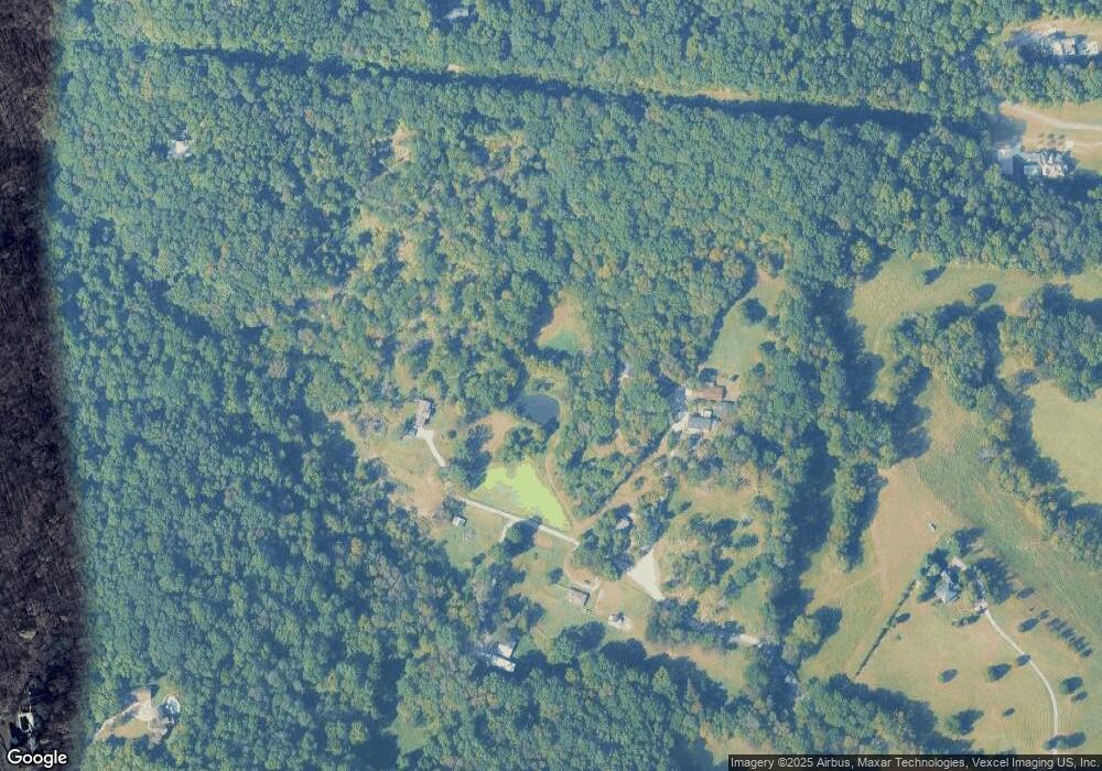
Map
Nearby Homes
- 247 High Cliff Dr
- 226 Willow Bend Dr
- 199 Willow Bend Dr
- 605 Parkenham Dr
- 601 Parkenham Dr
- 1017 Kellyn Ln
- 2236 New Hope Rd
- 1026 Kendall Farms Dr
- 0 Thompson Ln
- Crosby Plan at Laurel Park
- Fleetwood Plan at Laurel Park
- McCartney Plan at Laurel Park
- Whitney Plan at Laurel Park
- 2630 New Hope Rd
- 107 Fawn Ct
- 0 New Hope Rd Unit RTC3000799
- 0 New Hope Rd Unit RTC2582441
- 1089 Pennington Private Way
- 1073 Pennington Pvt Way
- 939 Hogans Branch Rd
- 538 Ward Ln
- 532 Ward Ln
- 598 Ward Ln
- 400 Ward Ln
- 2317 New Hope Rd
- 229 High Cliff Dr
- 225 High Cliff Dr
- 103 Walton Ct
- 105 Walton Ct
- 105 Walton Ct
- 1208 Daniel Dr
- 231 High Cliff Dr
- 106 Walton Ct
- 1200 Daniel Dr
- 219 High Cliff Dr
- 1209 Daniel Dr
- 205 Ward Ln
- 104 Walton Ct Unit 217
- 220 High Cliff Dr
- 104 Walton Ct