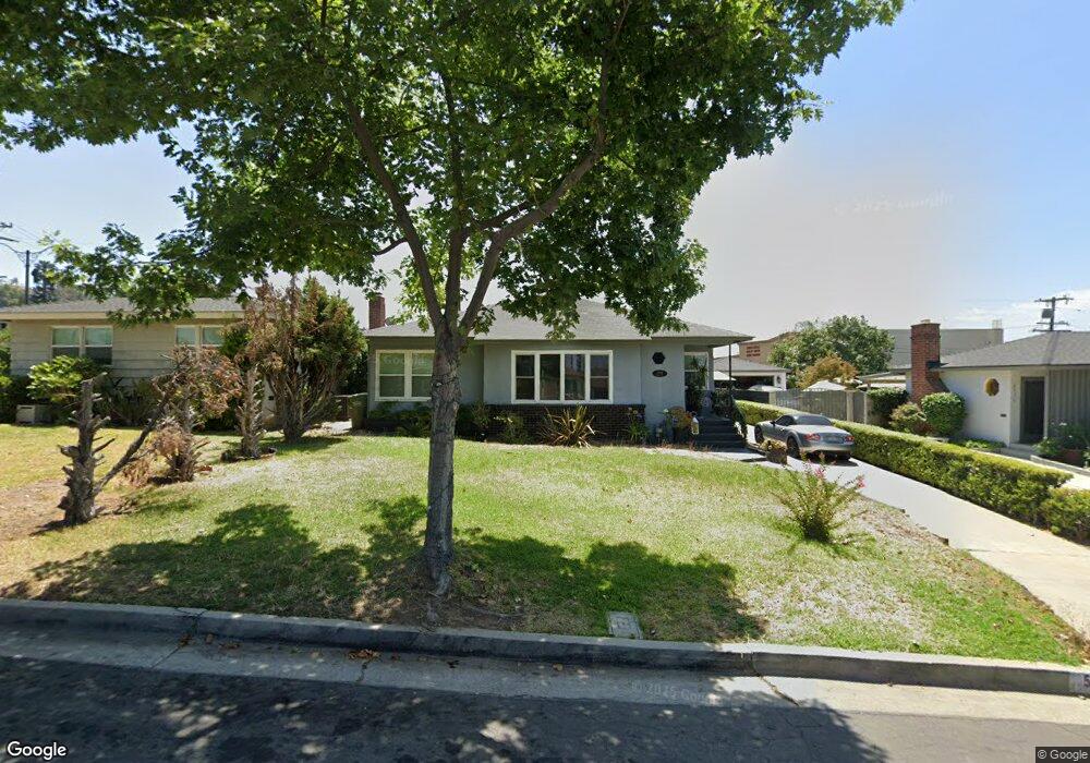
5408 Rockne Ave Whittier, CA 90601
West Whittier NeighborhoodEstimated Value: $832,325 - $855,000
3
Beds
2
Baths
1,352
Sq Ft
$621/Sq Ft
Est. Value
About This Home
This home is located at 5408 Rockne Ave, Whittier, CA 90601 and is currently estimated at $839,331, approximately $620 per square foot. 5408 Rockne Ave is a home located in Los Angeles County with nearby schools including Orange Grove Elementary School, Walter F. Dexter Middle School, and Whittier High School.
Ownership History
Date
Name
Owned For
Owner Type
Purchase Details
Closed on
Apr 16, 2015
Sold by
Swedo Linda
Bought by
Swedo Linda
Current Estimated Value
Home Financials for this Owner
Home Financials are based on the most recent Mortgage that was taken out on this home.
Original Mortgage
$727,500
Outstanding Balance
$553,660
Interest Rate
3.43%
Mortgage Type
Reverse Mortgage Home Equity Conversion Mortgage
Estimated Equity
$285,671
Purchase Details
Closed on
Jul 1, 2011
Sold by
Rodriguez Santos G
Bought by
Rodriguez Santos G and Santos G Rodriguez Living Trust
Purchase Details
Closed on
Jun 26, 2000
Sold by
Robles Victor M
Bought by
Rodriguez Santos G and Rodriguez Mary Louise
Create a Home Valuation Report for This Property
The Home Valuation Report is an in-depth analysis detailing your home's value as well as a comparison with similar homes in the area
Home Values in the Area
Average Home Value in this Area
Purchase History
| Date | Buyer | Sale Price | Title Company |
|---|---|---|---|
| Swedo Linda | -- | Wfg National Title | |
| Rodriguez Santos G | -- | None Available | |
| Rodriguez Santos G | $231,500 | Fidelity Title |
Source: Public Records
Mortgage History
| Date | Status | Borrower | Loan Amount |
|---|---|---|---|
| Open | Swedo Linda | $727,500 |
Source: Public Records
Tax History Compared to Growth
Tax History
| Year | Tax Paid | Tax Assessment Tax Assessment Total Assessment is a certain percentage of the fair market value that is determined by local assessors to be the total taxable value of land and additions on the property. | Land | Improvement |
|---|---|---|---|---|
| 2025 | $4,366 | $348,056 | $176,286 | $171,770 |
| 2024 | $4,366 | $341,232 | $172,830 | $168,402 |
| 2023 | $4,306 | $334,542 | $169,442 | $165,100 |
| 2022 | $4,220 | $327,983 | $166,120 | $161,863 |
| 2021 | $4,143 | $321,553 | $162,863 | $158,690 |
| 2019 | $4,044 | $312,018 | $158,034 | $153,984 |
| 2018 | $3,892 | $305,901 | $154,936 | $150,965 |
| 2016 | $3,774 | $294,024 | $148,921 | $145,103 |
| 2015 | $3,898 | $424,000 | $300,000 | $124,000 |
| 2014 | $3,725 | $283,937 | $143,812 | $140,125 |
Source: Public Records
Map
Nearby Homes
- 5315 Bihr Ct
- 5307 Woodward Ln
- 5518 Norwalk Blvd
- 10605 Cordoba Ct
- 11511 Beverly Dr
- 5115 Castelotte Ct
- 5107 Vista Verde Way
- 11302 Maple St
- 11759 S Circle Dr
- 5577 Pioneer Blvd Unit 5
- 5593 Pioneer Blvd Unit 18
- 5903 Redman Ave
- 10013 Obregon St
- 10050 Obregon St
- 5729 Juarez Ave
- 11840 Nixon Ln
- 11905 Mendenhall Ln
- 9900 Tagus St Unit 30
- 12031 Beverly Blvd Unit 1D
- 11273 Dorland Dr
- 5414 Rockne Ave
- 5402 Rockne Ave
- 5418 Rockne Ave
- 5424 Rockne Ave
- 5409 Rockne Ave
- 5413 Rockne Ave
- 5403 Rockne Ave
- 5419 Rockne Ave
- 5430 Rockne Ave
- 10711 Beverly Blvd
- 10639 Deveron Dr
- 10705 Beverly Blvd
- 5425 Rockne Ave
- 10722 Beverly Blvd
- 10722 Beverly Blvd Unit B&C
- 10722 Beverly Blvd Unit V
- 10722 Beverly Blvd Unit Q
- 10722 Beverly Blvd Unit E
- 10722 Beverly Blvd Unit A
- 10722 Beverly Blvd Unit N