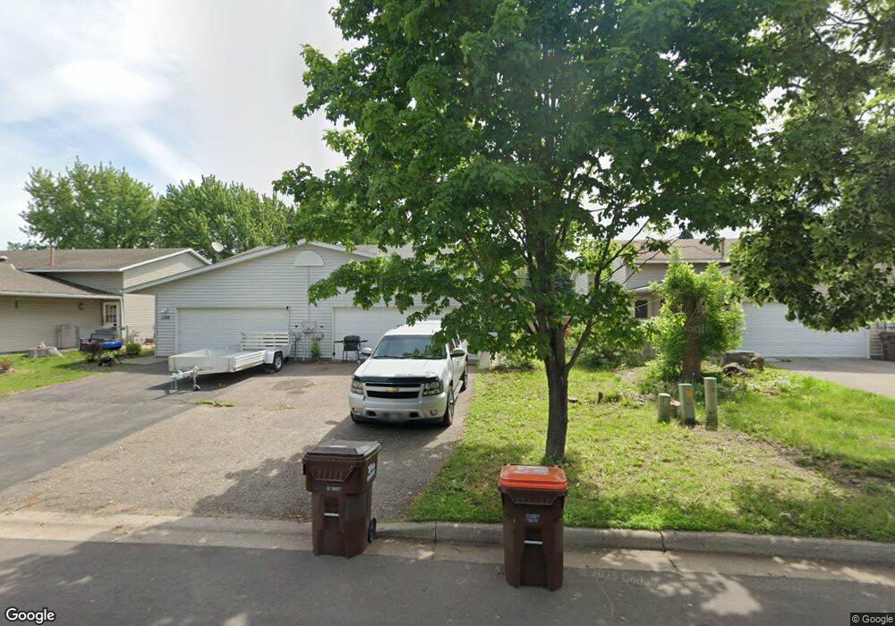
541 Kendall Dr Hastings, MN 55033
Hastings-Marshan Township NeighborhoodEstimated Value: $212,000 - $296,979
3
Beds
2
Baths
912
Sq Ft
$286/Sq Ft
Est. Value
About This Home
This home is located at 541 Kendall Dr, Hastings, MN 55033 and is currently estimated at $260,745, approximately $285 per square foot. 541 Kendall Dr is a home located in Dakota County with nearby schools including Kennedy Elementary School, Hastings Middle School, and Hastings High School.
Ownership History
Date
Name
Owned For
Owner Type
Purchase Details
Closed on
Dec 7, 2011
Sold by
Federal National Mortgage Association
Bought by
Buckley Paul C
Current Estimated Value
Home Financials for this Owner
Home Financials are based on the most recent Mortgage that was taken out on this home.
Original Mortgage
$4,500
Outstanding Balance
$3,089
Interest Rate
4.01%
Mortgage Type
Unknown
Estimated Equity
$257,656
Purchase Details
Closed on
May 10, 2007
Sold by
Smith Adam B and Smith Michelle
Bought by
Counts Loren
Purchase Details
Closed on
Jun 11, 1999
Sold by
Mccoy Michael A and Mccoy Lisa M
Bought by
Smith Adam B
Purchase Details
Closed on
Jan 31, 1996
Sold by
Cir Homes Inc
Bought by
Mccoy Michael A
Create a Home Valuation Report for This Property
The Home Valuation Report is an in-depth analysis detailing your home's value as well as a comparison with similar homes in the area
Home Values in the Area
Average Home Value in this Area
Purchase History
| Date | Buyer | Sale Price | Title Company |
|---|---|---|---|
| Buckley Paul C | -- | West Title Llc | |
| Counts Loren | $173,500 | -- | |
| Smith Adam B | $113,900 | -- | |
| Mccoy Michael A | $83,350 | -- |
Source: Public Records
Mortgage History
| Date | Status | Borrower | Loan Amount |
|---|---|---|---|
| Open | Buckley Paul C | $4,500 | |
| Open | Buckley Paul C | $79,921 |
Source: Public Records
Tax History Compared to Growth
Tax History
| Year | Tax Paid | Tax Assessment Tax Assessment Total Assessment is a certain percentage of the fair market value that is determined by local assessors to be the total taxable value of land and additions on the property. | Land | Improvement |
|---|---|---|---|---|
| 2024 | $3,958 | $247,200 | $39,000 | $208,200 |
| 2023 | $3,958 | $249,000 | $39,000 | $210,000 |
| 2022 | $4,216 | $243,300 | $39,000 | $204,300 |
| 2021 | $2,098 | $198,600 | $33,900 | $164,700 |
| 2020 | $2,096 | $185,800 | $32,300 | $153,500 |
| 2019 | $1,967 | $180,300 | $30,700 | $149,600 |
| 2018 | $1,824 | $163,500 | $29,200 | $134,300 |
| 2017 | $1,643 | $149,400 | $27,900 | $121,500 |
| 2016 | $1,672 | $137,300 | $26,000 | $111,300 |
| 2015 | $1,522 | $111,327 | $20,665 | $90,662 |
| 2014 | -- | $101,408 | $19,373 | $82,035 |
| 2013 | -- | $90,508 | $16,990 | $73,518 |
Source: Public Records
Map
Nearby Homes
- 3575 Vermillion St
- 3525 Vermillion St
- 235 Tiffany Dr
- 365 Hayes Dr Unit 30
- 182 Sandpiper Cir
- 3525 Douglas Dr
- 3200 Malcolm Ave
- 753 Greten Ln
- 115 Kinglet Dr
- 782 31st St W
- 4198 Starling Dr
- 1942 Eddy St
- 2000 Forest St
- 1163 Teal Way
- 545 Tuttle Dr
- 3591 Village Way
- 3125 Village Trail Unit 217
- 2211 Glacier Way
- 2021 Pine St
- 416 19th St W
- 539 Kendall Dr
- 543 Kendall Dr
- 537 Kendall Dr
- 545 Kendall Dr
- 547 Kendall Dr
- 535 Kendall Dr
- 421 Tiffany Dr
- 423 Tiffany Dr
- 425 Tiffany Dr
- 427 Tiffany Dr
- 558 Kendall Dr
- 419 Tiffany Dr
- 549 Kendall Dr
- 551 Kendall Dr
- 429 429 Tiffany Dr
- 429 Tiffany Dr
- 540 Kendall Dr
- 536 Kendall Dr
- 560 Kendall Dr
- 417 Tiffany Dr