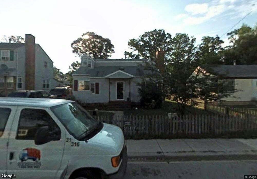
541 Munroe Cir Glen Burnie, MD 21061
Estimated Value: $337,000 - $391,000
--
Bed
1
Bath
1,404
Sq Ft
$261/Sq Ft
Est. Value
About This Home
This home is located at 541 Munroe Cir, Glen Burnie, MD 21061 and is currently estimated at $366,088, approximately $260 per square foot. 541 Munroe Cir is a home located in Anne Arundel County with nearby schools including Richard Henry Lee Elementary School, Corkran Middle School, and Glen Burnie High School.
Ownership History
Date
Name
Owned For
Owner Type
Purchase Details
Closed on
Dec 31, 2001
Sold by
Upton Gary W
Bought by
Sprucebank Robert M and Sprucebank Carol A
Current Estimated Value
Purchase Details
Closed on
Dec 13, 1990
Sold by
Upton Elmer L
Bought by
Upton Gary W
Home Financials for this Owner
Home Financials are based on the most recent Mortgage that was taken out on this home.
Original Mortgage
$85,550
Interest Rate
9.81%
Create a Home Valuation Report for This Property
The Home Valuation Report is an in-depth analysis detailing your home's value as well as a comparison with similar homes in the area
Home Values in the Area
Average Home Value in this Area
Purchase History
| Date | Buyer | Sale Price | Title Company |
|---|---|---|---|
| Sprucebank Robert M | $140,000 | -- | |
| Upton Gary W | $84,000 | -- |
Source: Public Records
Mortgage History
| Date | Status | Borrower | Loan Amount |
|---|---|---|---|
| Previous Owner | Upton Gary W | $85,550 | |
| Closed | Sprucebank Robert M | -- |
Source: Public Records
Tax History Compared to Growth
Tax History
| Year | Tax Paid | Tax Assessment Tax Assessment Total Assessment is a certain percentage of the fair market value that is determined by local assessors to be the total taxable value of land and additions on the property. | Land | Improvement |
|---|---|---|---|---|
| 2025 | $2,635 | $292,200 | $142,900 | $149,300 |
| 2024 | $2,635 | $276,700 | $0 | $0 |
| 2023 | $2,548 | $261,200 | $0 | $0 |
| 2022 | $2,368 | $245,700 | $127,900 | $117,800 |
| 2021 | $4,664 | $242,733 | $0 | $0 |
| 2020 | $2,256 | $239,767 | $0 | $0 |
| 2019 | $2,223 | $236,800 | $122,900 | $113,900 |
| 2018 | $2,282 | $225,033 | $0 | $0 |
| 2017 | $2,086 | $213,267 | $0 | $0 |
| 2016 | -- | $201,500 | $0 | $0 |
| 2015 | -- | $196,933 | $0 | $0 |
| 2014 | -- | $192,367 | $0 | $0 |
Source: Public Records
Map
Nearby Homes
- 304 9th Ave SE
- 912 Oakwood Rd
- 530 Delmar Ave
- 112 Main Ave SE
- 118 Heather Stone Way Unit 80
- 203 Buckingham Dr
- 500 Manor Rd
- 307 Oxford Dr
- 0 Irene Dr
- 103 4th Ave SE
- 1003 Lee Rd
- 106 3rd Ave SE
- 713 Cotter Rd
- 7530 Baltimore Annapolis Blvd
- 267 Truck Farm Dr
- 1316 Ray Ln
- 303 A St SW
- 1423 Braden Loop
- 405 Morningside Dr
- 301 Whitman Ct