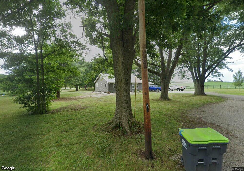
5425 N Nickelplate St Louisville, OH 44641
Estimated Value: $180,000 - $208,526
3
Beds
1
Bath
1,140
Sq Ft
$168/Sq Ft
Est. Value
About This Home
This home is located at 5425 N Nickelplate St, Louisville, OH 44641 and is currently estimated at $191,382, approximately $167 per square foot. 5425 N Nickelplate St is a home located in Stark County with nearby schools including Louisville High School and St. Thomas Aquinas High School & Middle School.
Ownership History
Date
Name
Owned For
Owner Type
Purchase Details
Closed on
Apr 26, 2002
Sold by
Linsmaier John F
Bought by
Dawson Greg and Dawson Trish
Current Estimated Value
Home Financials for this Owner
Home Financials are based on the most recent Mortgage that was taken out on this home.
Original Mortgage
$90,250
Interest Rate
7.13%
Create a Home Valuation Report for This Property
The Home Valuation Report is an in-depth analysis detailing your home's value as well as a comparison with similar homes in the area
Home Values in the Area
Average Home Value in this Area
Purchase History
| Date | Buyer | Sale Price | Title Company |
|---|---|---|---|
| Dawson Greg | $95,000 | Tri Source Title Agency Inc |
Source: Public Records
Mortgage History
| Date | Status | Borrower | Loan Amount |
|---|---|---|---|
| Closed | Dawson Greg | $90,250 |
Source: Public Records
Tax History Compared to Growth
Tax History
| Year | Tax Paid | Tax Assessment Tax Assessment Total Assessment is a certain percentage of the fair market value that is determined by local assessors to be the total taxable value of land and additions on the property. | Land | Improvement |
|---|---|---|---|---|
| 2025 | -- | $58,560 | $17,780 | $40,780 |
| 2024 | -- | $58,560 | $17,780 | $40,780 |
| 2023 | $2,686 | $55,130 | $15,680 | $39,450 |
| 2022 | $2,113 | $43,190 | $15,680 | $27,510 |
| 2021 | $2,119 | $43,190 | $15,680 | $27,510 |
| 2020 | $1,813 | $39,030 | $14,110 | $24,920 |
| 2019 | $1,820 | $39,030 | $14,110 | $24,920 |
| 2018 | $1,815 | $39,030 | $14,110 | $24,920 |
| 2017 | $1,767 | $36,270 | $13,230 | $23,040 |
| 2016 | $1,728 | $36,270 | $13,230 | $23,040 |
| 2015 | $1,732 | $36,270 | $13,230 | $23,040 |
| 2014 | $1,630 | $31,580 | $11,520 | $20,060 |
| 2013 | $819 | $31,580 | $11,520 | $20,060 |
Source: Public Records
Map
Nearby Homes
- 1170 Winding Ridge Ave
- 910 Crosswyck Cir
- 316 E Reno Dr
- 0 Michigan Blvd
- 2015 E Main St
- 5474 Ravenna Ave
- 428 Honeycrisp Dr NE
- 3047 Mcintosh Dr NE
- 432 Honeycrisp Dr NE
- 2962 Mcintosh Dr NE
- 2963 Mcintosh Dr NE
- 430 Honeycrisp Dr NE
- 2957 Mcintosh Dr NE
- 203 Brookfield St
- 5495 Meese Rd NE
- 6052 N Nickelplate St
- 325 Lincoln Ave
- 308 Superior St
- 524 Glenbar St
- 1812 E Broad St
- 5399 N Nickelplate St
- 5381 N Nickelplate St
- 5395 N Nickelplate St
- 5294 N Nickelplate St
- 5460 N Nickelplate St
- 5251 N Nickelplate St
- 5469 N Nickelplate St
- 5203 N Nickelplate St
- 5140 N Nickelplate St
- 5472 N Nickelplate St
- 5393 N Nickelplate St
- 5210 N Nickelplate St
- 5389 N Nickelplate St
- 5104 N Nickelplate St
- 5569 Schilling Ave
- 5068 N Nickelplate St
- 5627 Schilling Ave
- 1322 Cheverton Ave
- 1348 Cheverton Ave
- 1334 Cheverton Ave