543 Justins Rd Pagosa Springs, CO 81147
Estimated Value: $142,000 - $152,000
1
Bed
1
Bath
272
Sq Ft
$544/Sq Ft
Est. Value
About This Home
This home is located at 543 Justins Rd, Pagosa Springs, CO 81147 and is currently estimated at $147,836, approximately $543 per square foot. 543 Justins Rd is a home located in Archuleta County with nearby schools including Pagosa Springs Elementary School, Pagosa Springs Middle School, and Pagosa Springs High School.
Ownership History
Date
Name
Owned For
Owner Type
Purchase Details
Closed on
Apr 6, 2020
Sold by
Haught Teresa Dawn and Haught Richard Allen
Bought by
Dionne Jesse W and Dionne Lisa M
Current Estimated Value
Purchase Details
Closed on
Aug 22, 2012
Sold by
Risken Sabrina S
Bought by
Haught Richard Allen and Haught Teresa Dawn
Purchase Details
Closed on
Sep 3, 2010
Sold by
Richey Jewell B
Bought by
Risken Sabrina S
Purchase Details
Closed on
Jan 1, 1990
Sold by
Fenney Andrew G
Bought by
Zepp Donald C and Zepp Barb
Purchase Details
Closed on
Oct 27, 1989
Sold by
Asp Sp Associates
Bought by
Fenney Andrew G
Purchase Details
Closed on
Aug 1, 1982
Sold by
Zepp
Bought by
Richey Jewell B
Create a Home Valuation Report for This Property
The Home Valuation Report is an in-depth analysis detailing your home's value as well as a comparison with similar homes in the area
Home Values in the Area
Average Home Value in this Area
Purchase History
| Date | Buyer | Sale Price | Title Company |
|---|---|---|---|
| Dionne Jesse W | $65,000 | None Available | |
| Haught Richard Allen | $35,000 | High Country Title Inc | |
| Risken Sabrina S | $6,000 | Wd Great Divide Title | |
| Zepp Donald C | $800 | -- | |
| Fenney Andrew G | -- | -- | |
| Richey Jewell B | $5,100 | -- |
Source: Public Records
Tax History Compared to Growth
Tax History
| Year | Tax Paid | Tax Assessment Tax Assessment Total Assessment is a certain percentage of the fair market value that is determined by local assessors to be the total taxable value of land and additions on the property. | Land | Improvement |
|---|---|---|---|---|
| 2024 | $521 | $7,310 | $1,040 | $6,270 |
| 2023 | $521 | $7,310 | $1,040 | $6,270 |
| 2022 | $377 | $5,080 | $970 | $4,110 |
| 2021 | $379 | $5,230 | $1,000 | $4,230 |
| 2020 | $283 | $3,910 | $890 | $3,020 |
| 2019 | $280 | $3,910 | $890 | $3,020 |
| 2018 | $201 | $2,620 | $700 | $1,920 |
| 2017 | $176 | $2,620 | $700 | $1,920 |
| 2016 | $211 | $3,120 | $600 | $2,520 |
| 2015 | -- | $3,120 | $600 | $2,520 |
| 2014 | -- | $1,660 | $570 | $1,090 |
Source: Public Records
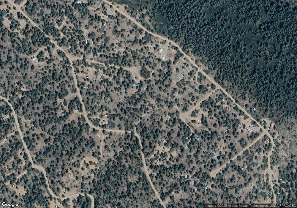
Map
Nearby Homes
- 543 Justin's Rd
- 326 Justin's Rd
- 383 Justin's Rd
- 43 Butzke Ct
- 783 Gun Barrel Rd
- 1333 Doc Adams Rd
- 710 Doc Adams Rd
- 87 Engineer Point
- 21 Jan's Ct
- 149/154 Engineer Point
- 149 Engineer Point
- 93 & 127 Carey Ct S
- 49 Quiet Ct
- 154 Engineer Point
- 553 Crooked Rd
- 1222 Crooked Rd
- 1286 Crooked Rd
- 2868/2892 Crooked Rd
- 2620/2676 Crooked Rd
- 2620/76,2868/92 Crooked Rd
- 135 Rosebud Ct
- 73 Butzke Ct
- 0 Butzke Ct Unit 769020
- 0 Butzke Ct Unit 649904
- 0 Butzke Ct Unit 649807
- 0 Butzke Ct Unit 656624
- 0 Butzke Ct Unit 678245
- 0 Butzke Ct Unit 694416
- 0 Butzke Ct Unit 694395
- 0 Butzke Ct Unit 726661
- 0 Butzke Ct Unit 727210
- 0 Butzke Ct Unit 734466
- 0 Butzke Ct Unit 734465
- 109 Rosebud Ct
- 0 Rosebud Ct Unit 758531
- 0 Rosebud Ct Unit 755373
- 0 Rosebud Ct Unit 753406
- 0 Rosebud Ct Unit 743579
- 0 Rosebud Ct Unit 603616
- 0 Rosebud Ct Unit 667864