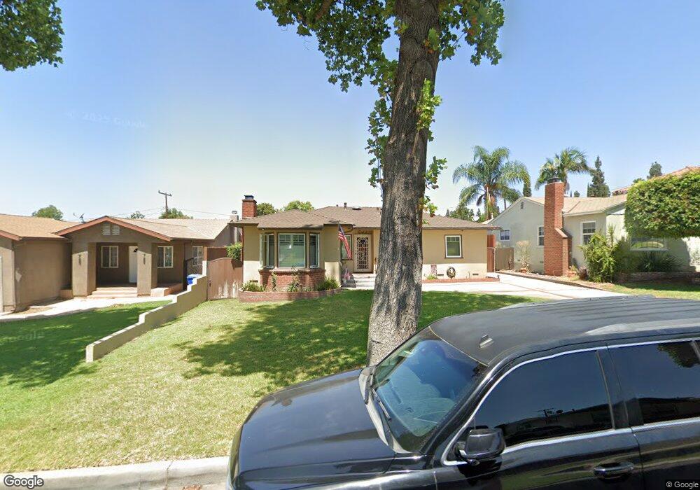
5431 Rockne Ave Whittier, CA 90601
West Whittier NeighborhoodEstimated Value: $797,000 - $884,000
3
Beds
2
Baths
1,373
Sq Ft
$617/Sq Ft
Est. Value
About This Home
This home is located at 5431 Rockne Ave, Whittier, CA 90601 and is currently estimated at $847,700, approximately $617 per square foot. 5431 Rockne Ave is a home located in Los Angeles County with nearby schools including Orange Grove Elementary School, Walter F. Dexter Middle School, and Whittier High School.
Ownership History
Date
Name
Owned For
Owner Type
Purchase Details
Closed on
May 16, 2019
Sold by
Celiz Thomas S and Celiz Maria E
Bought by
Celiz Thomas S and Celiz Maria E
Current Estimated Value
Purchase Details
Closed on
Jun 24, 2010
Sold by
Fajardo Cynthia and Cynthia Fajardo Revocable Trus
Bought by
Celiz Tom S
Purchase Details
Closed on
Mar 22, 2007
Sold by
Fajardo Cynthia
Bought by
Fajardo Cynthia and The Cynthia Fajardo Revocable Trust 2007
Create a Home Valuation Report for This Property
The Home Valuation Report is an in-depth analysis detailing your home's value as well as a comparison with similar homes in the area
Home Values in the Area
Average Home Value in this Area
Purchase History
| Date | Buyer | Sale Price | Title Company |
|---|---|---|---|
| Celiz Thomas S | -- | None Available | |
| Celiz Tom S | $425,000 | Chicago Title | |
| Fajardo Cynthia | -- | None Available | |
| Fajardo Cynthia | -- | None Available |
Source: Public Records
Tax History Compared to Growth
Tax History
| Year | Tax Paid | Tax Assessment Tax Assessment Total Assessment is a certain percentage of the fair market value that is determined by local assessors to be the total taxable value of land and additions on the property. | Land | Improvement |
|---|---|---|---|---|
| 2025 | $6,812 | $615,386 | $269,041 | $346,345 |
| 2024 | $6,812 | $533,813 | $263,766 | $270,047 |
| 2023 | $6,697 | $523,347 | $258,595 | $264,752 |
| 2022 | $6,627 | $513,086 | $253,525 | $259,561 |
| 2021 | $6,483 | $503,026 | $248,554 | $254,472 |
| 2019 | $6,317 | $488,108 | $241,183 | $246,925 |
| 2018 | $6,113 | $478,538 | $236,454 | $242,084 |
| 2016 | $5,854 | $459,958 | $227,273 | $232,685 |
| 2015 | $5,780 | $453,050 | $223,860 | $229,190 |
| 2014 | $5,681 | $444,176 | $219,475 | $224,701 |
Source: Public Records
Map
Nearby Homes
- 5518 Norwalk Blvd
- 5315 Bihr Ct
- 10605 Cordoba Ct
- 5307 Woodward Ln
- 5115 Castelotte Ct
- 11511 Beverly Dr
- 5107 Vista Verde Way
- 11302 Maple St
- 5577 Pioneer Blvd Unit 5
- 5593 Pioneer Blvd Unit 18
- 11759 S Circle Dr
- 10013 Obregon St
- 10050 Obregon St
- 5903 Redman Ave
- 5729 Juarez Ave
- 9900 Tagus St Unit 30
- 9943 Noyes St
- 11905 Mendenhall Ln
- 11273 Dorland Dr
- 11840 Nixon Ln
- 5435 Rockne Ave
- 5425 Rockne Ave
- 5441 Rockne Ave
- 5419 Rockne Ave
- 5436 Mavis Ave
- 5424 Mavis Ave
- 5447 Rockne Ave
- 5413 Rockne Ave
- 5440 Mavis Ave
- 5418 Mavis Ave
- 5430 Rockne Ave
- 5424 Rockne Ave
- 5436 Rockne Ave
- 5451 Rockne Ave
- 5446 Mavis Ave
- 5414 Mavis Ave
- 5418 Rockne Ave
- 5409 Rockne Ave
- 5440 Rockne Ave
- 5450 Mavis Ave